Summary
With an elevation of 14,153 feet (4,313 meters), it is considered one of the fourteeners in the state. Mount Sill is characterized by its rugged and rocky terrain, making it a popular destination for experienced mountaineers seeking a challenging climb. The mountain offers stunning panoramic views of the surrounding peaks and valleys, including the picturesque Palisade Glacier and the neighboring North Palisade.
During the winter season, Mount Sill experiences significant snowfall, with snowpack depths ranging from several feet to over ten feet. This accumulation of snow makes the mountain particularly attractive for winter mountaineering and backcountry skiing enthusiasts. The snowpack gradually melts during the spring and summer months, creating beautiful alpine landscapes and providing a vital water source for several creeks and rivers in the area.
One of the notable creeks that receives runoff from Mount Sill is the South Fork Big Pine Creek, which flows through a scenic canyon and eventually joins the Big Pine Creek. Another important river is the Middle Fork Kings River, which originates in the Kings-Kern Divide near Mount Sill and flows through Kings Canyon National Park. These water sources contribute to the diverse ecosystem of the region, supporting a variety of plant and animal species.
As for the history and lore surrounding Mount Sill, the mountain was named after Charles Putnam Sill, a geologist who made significant contributions to the exploration of the Sierra Nevada during the late 19th century. The naming of the peak reflects the recognition of Sill's work in the field of geology. While no specific legends or folklore are associated with Mount Sill, its rich geological and mountaineering history make it an intriguing destination for outdoor enthusiasts and researchers alike.
°F
°F
mph
Wind
%
Humidity
15-Day Weather Outlook
5-Day Hourly Forecast Detail
Regional Streamflow Levels
38
Cubic Feet Per Second
20
Cubic Feet Per Second
354
Cubic Feet Per Second
7
Cubic Feet Per Second
Area Campgrounds
| Location | Reservations | Toilets |
|---|---|---|
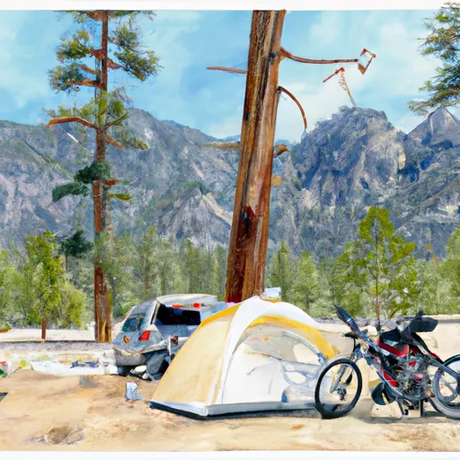 Big Pine Creek Trailhead
|
||
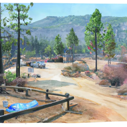 Big Pine Creek Campground
|
||
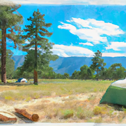 Big Pine
|
||
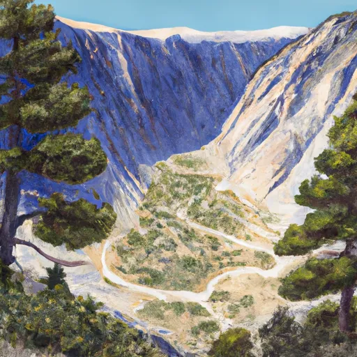 Big Pine Canyon Group- Clyde & Palisade Glacier
|
||
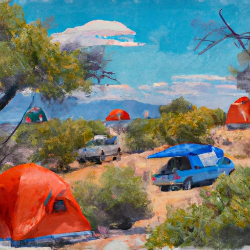 Upper Sage Campground
|
||
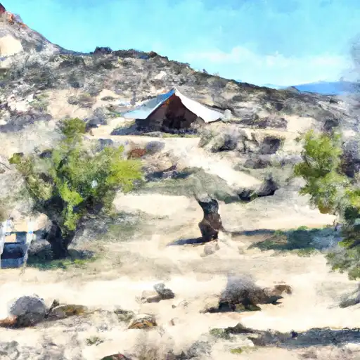 Upper Sage
|

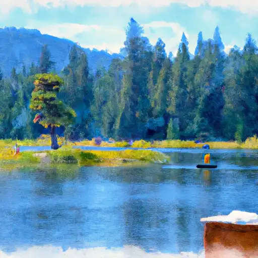 First Lake
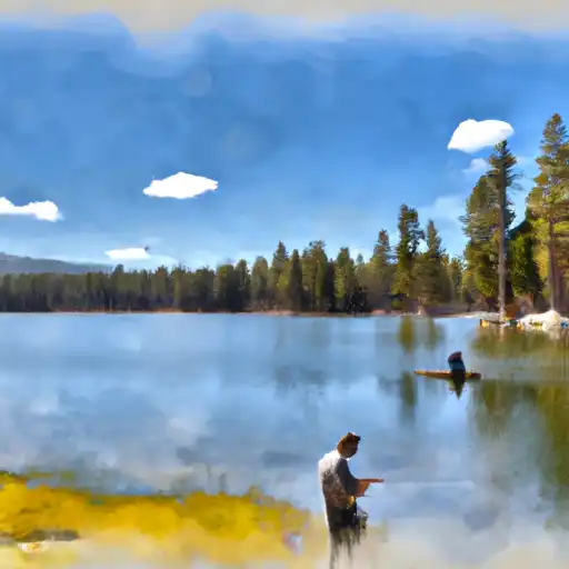 Fourth Lake
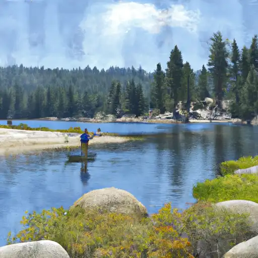 Fifth Lake
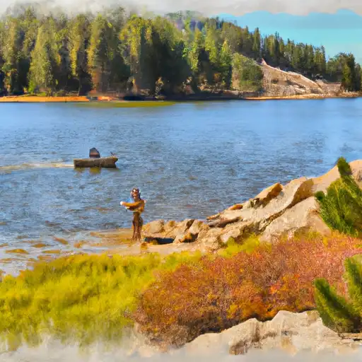 Margaret Lake
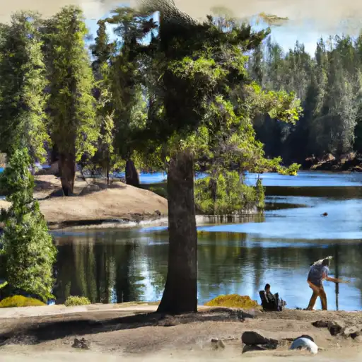 Funnel Lake