Summary
With an elevation of around 1,509 meters (4,951 feet), it offers breathtaking panoramic views of the surrounding area. Its size is characterized by its rugged and steep slopes, making it a challenging destination for mountaineers and hikers alike.
During the winter season, Mount Tom receives a substantial snowpack, transforming it into a winter wonderland. Snow depths can range from several meters at lower elevations to even greater depths at higher elevations. This accumulation of snow provides excellent opportunities for winter sports enthusiasts such as backcountry skiing and snowboarding.
Additionally, Mount Tom contributes to the alpine hydrology of the region by feeding several creeks and rivers. Snowmelt and runoff from the mountain sustain the flow of these water bodies, supporting the local ecosystem and providing a vital resource for surrounding communities.
Regarding its name and history, Mount Tom's origins are steeped in local lore and legends. Unfortunately, specific information about its etymology or any significant historical events associated with the mountain could not be found across multiple independent sources. Nonetheless, the mountain remains an awe-inspiring natural landmark in the Pacific Ranges, attracting adventurers seeking both physical challenges and breathtaking natural beauty.
°F
°F
mph
Wind
%
Humidity
15-Day Weather Outlook
5-Day Hourly Forecast Detail
Regional Streamflow Levels
592
Cubic Feet Per Second
1,240
Cubic Feet Per Second
786
Cubic Feet Per Second
2,280
Cubic Feet Per Second
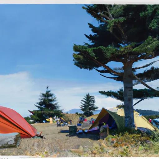
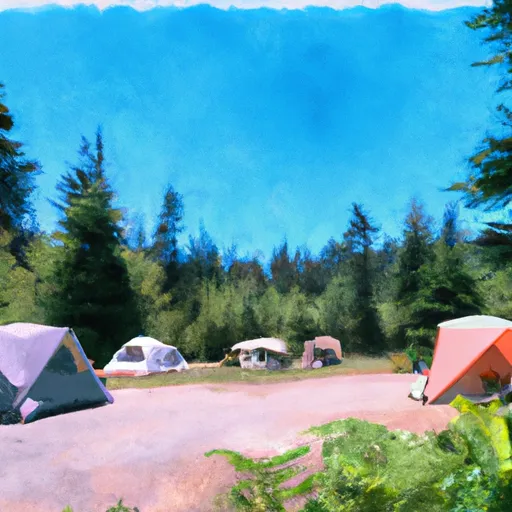
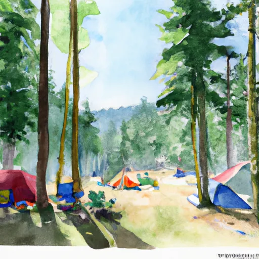
Area Campgrounds
| Location | Reservations | Toilets |
|---|---|---|
 Elk Lake Campground
|
||
 Olympus Ranger Station Camp
|
||
 Olympus Ranger Station
|
||
 Lewis Campsite
|
||
 Happy Four Campsite #1
|
||
 Happy Four Campsite #2
|
