Summary
Standing at an elevation of 14,242 feet, it is the third highest mountain in the state. This impressive stature, combined with its rugged and challenging terrain, makes it a popular destination for mountaineers seeking a thrilling adventure.
During the winter season, North Palisade experiences a substantial snowpack. Snow levels can vary depending on the year, with an average range of 10 to 20 feet. This significant snow accumulation requires climbers to possess advanced mountaineering skills and be well-prepared for avalanche hazards.
The mountain's runoff feeds into several creeks and rivers, including the South Fork of Bishop Creek and Big Pine Creek. These water sources contribute to the region's watershed, supporting the diverse flora and fauna of the surrounding ecosystem.
The name "North Palisade" was given to the mountain due to its proximity to the Palisade Glacier, which lies just to the south. The term "Palisade" refers to a row of vertical cliffs, accurately describing the rugged nature of the mountain's terrain. While no specific legends or lore are associated with North Palisade, its challenging nature and breathtaking beauty have undoubtedly captured the imagination of many mountaineers throughout history.
°F
°F
mph
Wind
%
Humidity
15-Day Weather Outlook
5-Day Hourly Forecast Detail
Regional Streamflow Levels
354
Cubic Feet Per Second
20
Cubic Feet Per Second
7
Cubic Feet Per Second
38
Cubic Feet Per Second
Area Campgrounds
| Location | Reservations | Toilets |
|---|---|---|
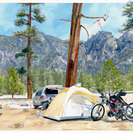 Big Pine Creek Trailhead
|
||
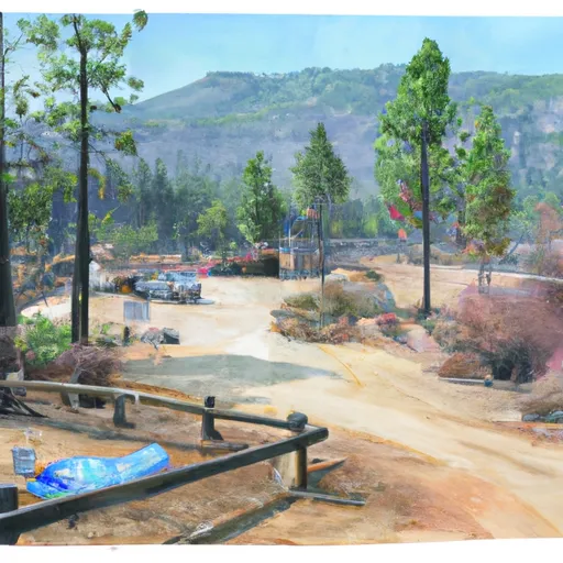 Big Pine Creek Campground
|
||
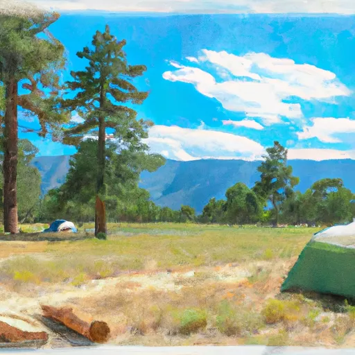 Big Pine
|
||
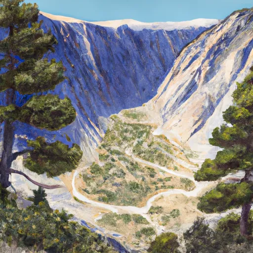 Big Pine Canyon Group- Clyde & Palisade Glacier
|
||
 Upper Sage Campground
|
||
 Upper Sage
|

 Fourth Lake
 Second Lake
 First Lake
 Margaret Lake
 Funnel Lake