Summary
With an impressive elevation of 14,123 feet (4,305 meters), it stands as one of the tallest peaks in the area. This majestic summit offers breathtaking views of the surrounding landscape, making it a popular destination for mountaineers and outdoor enthusiasts.
During the winter season, North Peak experiences substantial snowfall, contributing to a diverse snowpack range. Snow depths can reach several feet, creating prime conditions for winter sports such as skiing and snowboarding. The snowpack on North Peak is known to be stable for the most part, although caution is always advised due to the inherent risks associated with mountainous terrain.
Several creeks and rivers benefit from the runoff originating from North Peak. One such example is the nearby Deep Creek, which flows through the rugged terrain, fed by the melting snow and glaciers of the mountain. This water source sustains a variety of plant and animal life in the area, creating a vibrant ecosystem.
As for the name and lore surrounding North Peak, it is worth noting that further research is needed to provide accurate historical information and legends associated with this specific mountain. However, the Pacific Ranges mountain range as a whole is known for its rich indigenous heritage and cultural significance, with various legends and stories passed down through generations.
°F
°F
mph
Wind
%
Humidity
15-Day Weather Outlook
5-Day Hourly Forecast Detail
Regional Streamflow Levels
139
Cubic Feet Per Second
0
Cubic Feet Per Second
0
Cubic Feet Per Second
0
Cubic Feet Per Second
Area Campgrounds
| Location | Reservations | Toilets |
|---|---|---|
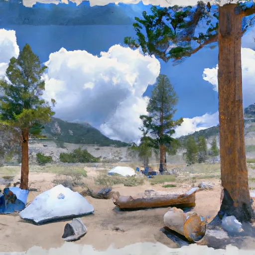 Saddlebag Lake Trailhead Group Campground
|
||
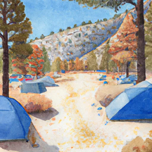 Saddlebag Lake Campground
|
||
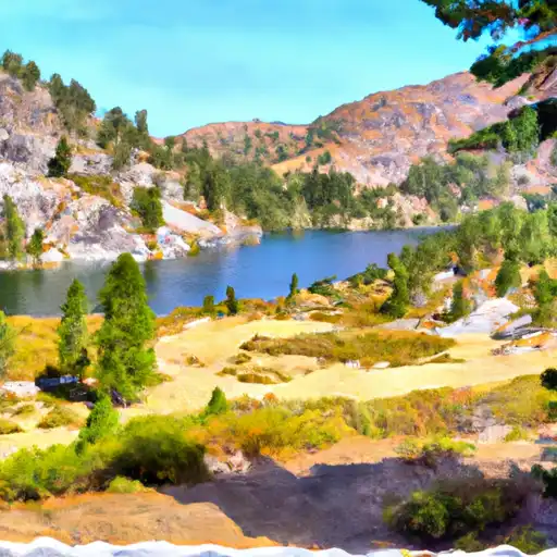 Saddlebag Lake
|
||
 Sawmill Walk-in Campground
|
||
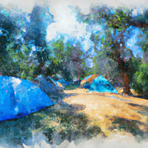 Junction Campground
|
||
 Junction
|

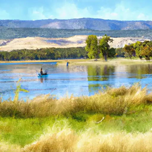 Finger Lake
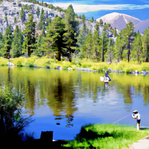 Virginia Lakes
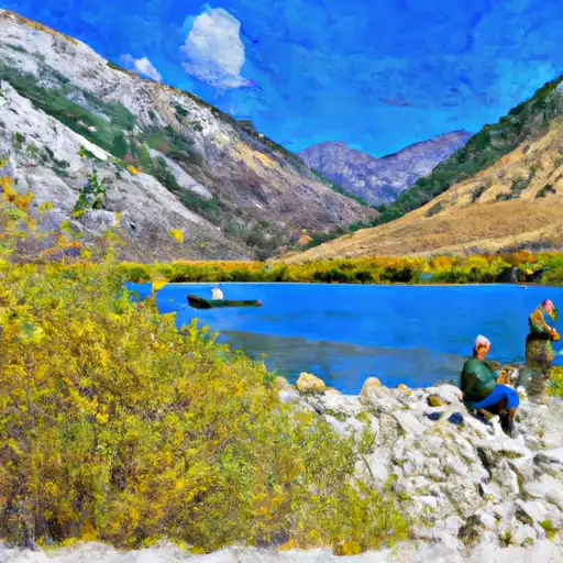 Lundy Lake
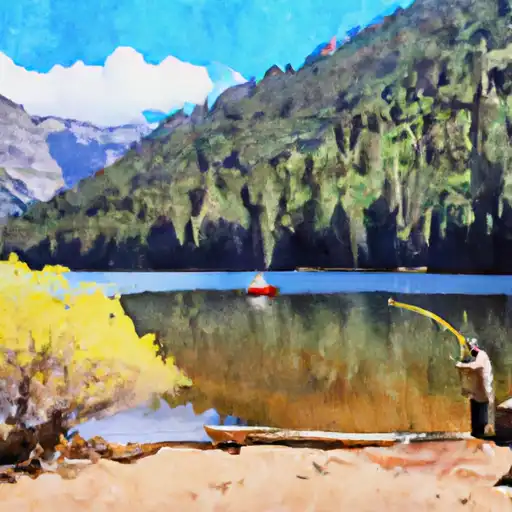 Avalanche Lake
 Green Creek