Summary
Rising to an impressive elevation of 14,080 feet (4,292 meters), it offers a thrilling climb for experienced mountaineers. The peak is part of the Palisades subgroup, a collection of peaks located in the John Muir Wilderness of the Sierra Nevada in California.
During the winter season, Polemonium Peak experiences a significant snowpack, with depths reaching several feet. The snowpack range varies each year depending on weather conditions, but typically lasts from November to May. This high snowpack makes it an ideal destination for winter mountaineering, with opportunities for snowshoeing, backcountry skiing, and ice climbing.
Polemonium Peak contributes to the network of creeks and rivers in the region, providing vital runoff during the spring and summer months. The mountain feeds into the South Fork Kings River, which is a tributary of the mighty Kings River. This runoff not only nourishes the surrounding flora and fauna but also offers opportunities for outdoor enthusiasts to enjoy activities such as whitewater rafting, fishing, and hiking along the riverbanks.
The name "Polemonium" is derived from the Greek plant genus Polemonium, commonly known as Jacob's Ladder. It is believed that the name was given to the peak due to the presence of these wildflowers in the area. The mountain holds no specific legends or lore, yet its awe-inspiring vistas and challenging routes have attracted mountaineers and nature lovers for decades. It is always recommended to consult reliable sources before embarking on any mountaineering expedition to ensure accurate and up-to-date information on conditions, routes, and safety precautions.
°F
°F
mph
Wind
%
Humidity
15-Day Weather Outlook
5-Day Hourly Forecast Detail
Regional Streamflow Levels
20
Cubic Feet Per Second
38
Cubic Feet Per Second
7
Cubic Feet Per Second
354
Cubic Feet Per Second
Area Campgrounds
| Location | Reservations | Toilets |
|---|---|---|
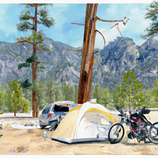 Big Pine Creek Trailhead
|
||
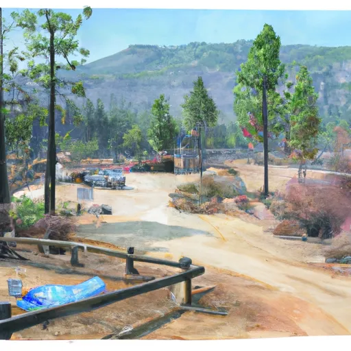 Big Pine Creek Campground
|
||
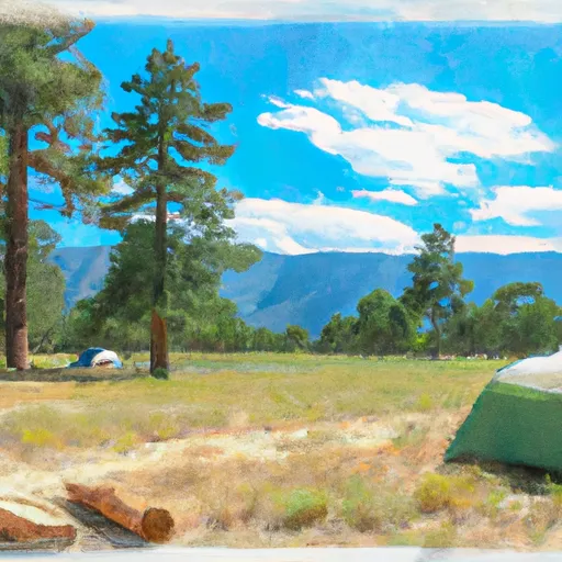 Big Pine
|
||
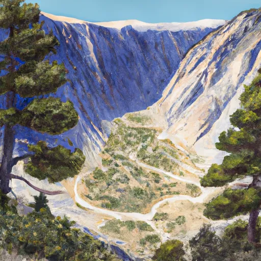 Big Pine Canyon Group- Clyde & Palisade Glacier
|
||
 Upper Sage Campground
|
||
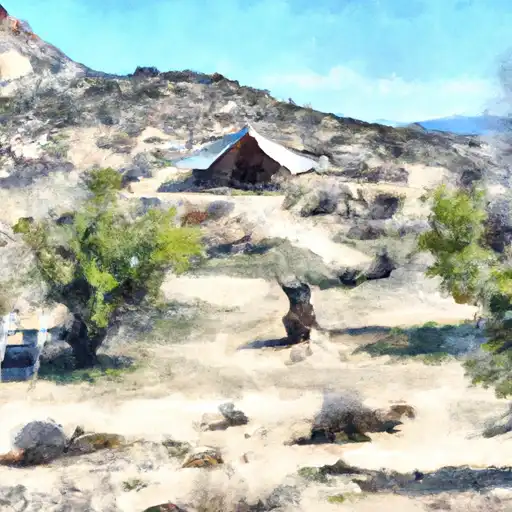 Upper Sage
|

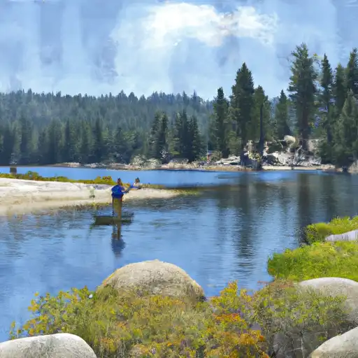 Fifth Lake
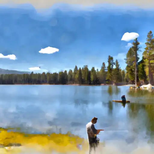 Fourth Lake
 First Lake
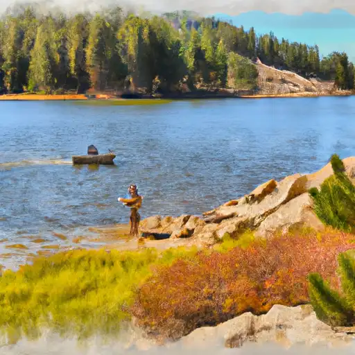 Margaret Lake
 Red Lake