Summary
Rising to an elevation of approximately 14,003 feet, it is an impressive peak attracting mountaineers from around the region. This majestic mountain boasts a sizeable vertical relief and offers climbers a challenging ascent.
During the winter season, Thunderbolt Peak receives heavy snowfall, contributing to its allure among backcountry skiers and alpinists. The snowpack varies each year, but typically ranges between 6 to 12 feet, providing ample opportunities for winter sports enthusiasts to explore the slopes and couloirs of the mountain.
The runoff from Thunderbolt Peak feeds into several creeks and rivers in the surrounding area. One notable waterway is the South Fork Bishop Creek, which originates from the glaciers and snowfields around the mountain. This creek is renowned for its scenic beauty and offers anglers the chance to catch trout in its pristine waters.
The name Thunderbolt Peak originates from an interesting piece of mountaineering history. It was first ascended in 1931 by a team led by Norman Clyde, a legendary mountaineer of the Sierra Nevada. During the climb, a thunderstorm struck, causing a lightning bolt to hit the peak, which was then named Thunderbolt Peak in honor of the dramatic event. This captivating legend adds to the allure and mystique surrounding this iconic mountain.
In conclusion, Thunderbolt Peak stands tall in the Pacific Ranges mountain range, offering climbers a challenging and rewarding ascent. With its impressive elevation, heavy snowpack during winter, and the runoff it provides to creeks and rivers, it remains a prominent landmark in the region. The fascinating history and legends associated with the name add to the mountain's allure, making it a must-visit destination for mountaineers and outdoor enthusiasts alike.
°F
°F
mph
Wind
%
Humidity
15-Day Weather Outlook
5-Day Hourly Forecast Detail
Regional Streamflow Levels
38
Cubic Feet Per Second
20
Cubic Feet Per Second
354
Cubic Feet Per Second
7
Cubic Feet Per Second
Area Campgrounds
| Location | Reservations | Toilets |
|---|---|---|
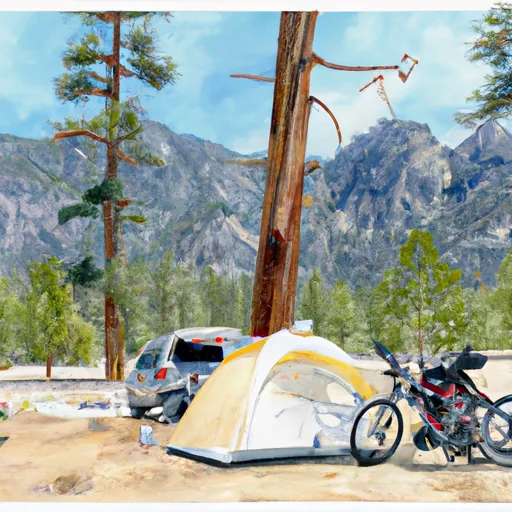 Big Pine Creek Trailhead
|
||
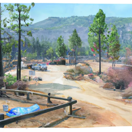 Big Pine Creek Campground
|
||
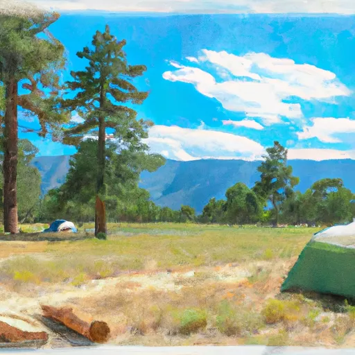 Big Pine
|
||
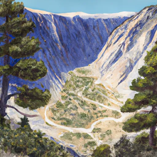 Big Pine Canyon Group- Clyde & Palisade Glacier
|
||
 Upper Sage Campground
|
||
 Upper Sage
|

 Fourth Lake
 Second Lake
 First Lake
 Margaret Lake
 Funnel Lake