Summary
With an elevation of 11,526 feet (3,513 meters), it offers breathtaking panoramic views of the surrounding wilderness. The peak is known for its rugged terrain, making it a popular destination for experienced mountaineers and hikers seeking a challenging adventure.
During the winter season, Tioga Peak receives a significant amount of snowfall due to its high elevation. The snowpack range varies from year to year but typically ranges from 10 to 15 feet (3 to 4.5 meters). This makes it an ideal destination for winter sports enthusiasts, such as backcountry skiing and snowboarding.
Several creeks and rivers receive runoff from Tioga Peak, including the picturesque Dana Fork, which originates from the Dana Glacier located on the eastern slopes of the peak. The glacier meltwater feeds into the creek, creating a scenic landscape with cascading waterfalls and alpine meadows.
The name "Tioga" is believed to have Native American origins, with some sources suggesting it means "where it forks" or "forks of a stream". The peak has a rich history and is often associated with stories and legends of early explorers and settlers who traversed the region. Exploring these tales adds an intriguing aspect to the mountaineering experience on Tioga Peak.
°F
°F
mph
Wind
%
Humidity
15-Day Weather Outlook
5-Day Hourly Forecast Detail
Regional Streamflow Levels
416
Cubic Feet Per Second
0
Cubic Feet Per Second
0
Cubic Feet Per Second
0
Cubic Feet Per Second
Area Campgrounds
| Location | Reservations | Toilets |
|---|---|---|
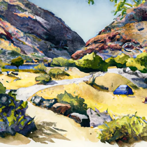 Ellery Lake Campground
|
||
 Ellery
|
||
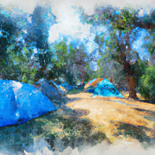 Junction Campground
|
||
 Junction
|
||
 Sawmill Walk-in Campground
|
||
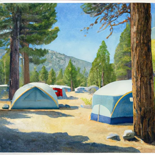 Tioga Lake Campground
|

 Alpine Lake
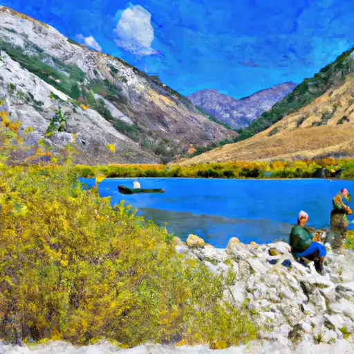 Lundy Lake
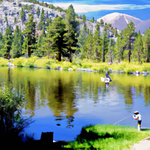 Virginia Lakes
 Evelyn Lake
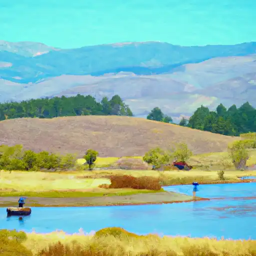 Grant Lake