Summary
With an elevation of 13,589 feet, it stands as one of the tallest peaks in the area. This majestic peak offers breathtaking views of the surrounding landscape, including the shimmering lakes and glacier-carved valleys below.
During the winter season, University Peak receives a substantial amount of snowpack, making it a popular destination for mountaineers and backcountry skiers. The snowpack range typically varies depending on the year and weather conditions, but it can reach depths of several feet, providing ample opportunities for winter sports enthusiasts to explore the area. Additionally, the mountain's location allows it to receive significant precipitation, ensuring a healthy snowpack throughout the winter months.
Several creeks and rivers in the vicinity benefit from the runoff originating from University Peak. These include the Kings River and its tributaries, providing a vital water source for the surrounding ecosystems. The mountain's melting snowpack contributes to a steady flow of water, supporting the local flora and fauna that rely on the creeks and rivers for their survival.
As for the history and legends surrounding the name of University Peak, there is limited information available. Its name suggests a connection to a university, possibly related to its exploration or scientific interest. However, further research is recommended to uncover any specific lore or legends associated with this magnificent peak.
°F
°F
mph
Wind
%
Humidity
15-Day Weather Outlook
5-Day Hourly Forecast Detail
Regional Streamflow Levels
60
Cubic Feet Per Second
38
Cubic Feet Per Second
20
Cubic Feet Per Second
34
Cubic Feet Per Second
Area Campgrounds
| Location | Reservations | Toilets |
|---|---|---|
 Onion Valley Campground
|
||
 Onion Valley
|
||
 Charlotte Lake Camp Area
|
||
 Anvil Camp
|
||
 Upper Grays Meadow Campground
|
||
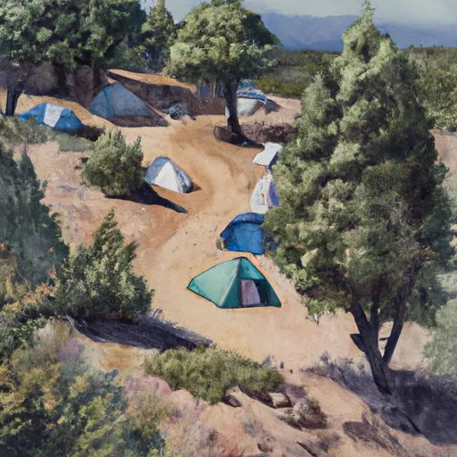 Grays Meadow
|

 Flower Lake
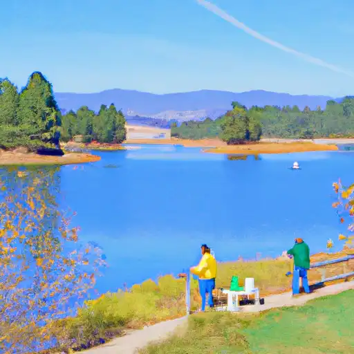 Gilbert Lake
 Little Pothole Lake
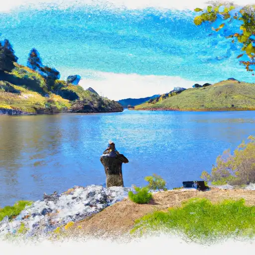 Bullfrog Lake
 Parker Lakes