Summary
This majestic peak is part of the Snowy Range in the Medicine Bow National Forest, Wyoming. Offering breathtaking panoramic views, the mountain boasts an impressive size, with a prominence of around 3,250 feet (990 meters).
During the winter season, the Snowy Range experiences heavy snowfall, making it a popular destination for snow sport enthusiasts. The snowpack range varies annually but typically accumulates several feet of snow, providing ample opportunities for backcountry skiing, snowshoeing, and snowmobiling. The high elevation and challenging terrain make it essential for visitors to be well-prepared and equipped with appropriate gear and knowledge of avalanche safety.
Medicine Bow Peak is also renowned for its numerous creeks and rivers that receive runoff from the mountain. These waterways, such as the Little Laramie River and the North Platte River, contribute to the overall beauty and ecological diversity of the area. They provide a habitat for various wildlife species and offer opportunities for fishing and other recreational activities.
Regarding the name's history, Medicine Bow Peak derives its name from Native American tribes who used to inhabit the region. The name originates from the ceremonial use of local juniper bows for medicinal purposes. Additionally, the area is rich in lore and legends, with tales of hidden treasure and mysterious disappearances adding to its allure. Exploring these captivating stories adds an additional layer of fascination to an already remarkable mountain adventure.
°F
°F
mph
Wind
%
Humidity
15-Day Weather Outlook
5-Day Hourly Forecast Detail
Regional Streamflow Levels
1,010
Cubic Feet Per Second
-999
Cubic Feet Per Second
174
Cubic Feet Per Second
48
Cubic Feet Per Second
Area Campgrounds
| Location | Reservations | Toilets |
|---|---|---|
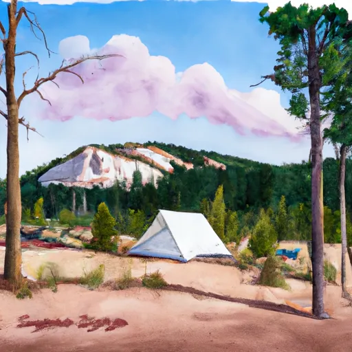 Sugarloaf
|
||
 Brooklyn Lake Campground
|
||
 Brooklyn Lake
|
||
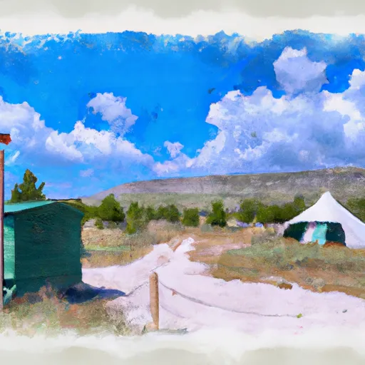 Little Brooklyn Guard Station
|
||
 Snow Survey Cabin
|
||
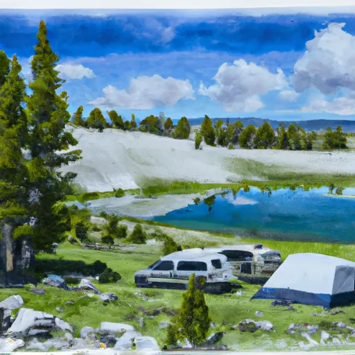 Silver Lake
|
