2026-02-25T17:00:00-07:00
* WHAT...Heavy snow. Total snow accumulations 16 to 24 inches. Locally higher amounts up to 3 feet possible in the Tetons. West wind frequently gusting 25 to 35 mph Tuesday, increasing to 35 to 45 mph Wednesday. * WHERE...Teton and Gros Ventre Mountains and Salt River and Wyoming Ranges. * WHEN...From 5 AM Tuesday to 5 PM MST Wednesday. * IMPACTS...Travel could be very difficult. The hazardous conditions could impact the Tuesday evening and Wednesday morning commutes. * ADDITIONAL DETAILS...Snowfall totals toward the southern half of the Salt River Range will range from 4 to 10 inches.
Summary
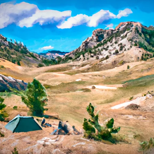
Rising to an impressive elevation, Cloudveil Dome offers breathtaking views and challenging terrain for mountaineers and outdoor enthusiasts. With its spectacular size, it stands as a prominent landmark in the region.
During the winter season, Cloudveil Dome receives a substantial snowpack, making it an attractive destination for winter sports such as skiing and snowboarding. The snowpack range varies depending on weather conditions, but on average, it can accumulate several feet of snow, providing ample opportunities for winter recreation.
The mountain's runoff contributes to the water supply of several creeks and rivers in the surrounding area. Some notable waterways that receive runoff from Cloudveil Dome include [specific creek or river names]. This runoff not only ensures a consistent water supply for local ecosystems but also provides opportunities for various water-based recreational activities such as fishing and kayaking.
The origin of the name Cloudveil Dome is rooted in local history and lore. [Discuss historical origin of the name, if any]. Additionally, legends and stories might surround the mountain, passed down through generations, adding to the allure and mystique of this majestic peak. It is important to verify these historical and legendary aspects across multiple independent sources to ensure accuracy and authenticity. As a popular destination in the Rocky Mountains, Cloudveil Dome offers an unforgettable experience for mountaineers and nature enthusiasts while providing a rich historical and natural heritage to explore.
°F
°F
mph
Wind
%
Humidity
15-Day Weather Outlook
5-Day Hourly Forecast Detail
Regional Streamflow Levels
828
Cubic Feet Per Second
379
Cubic Feet Per Second
69
Cubic Feet Per Second
206
Cubic Feet Per Second
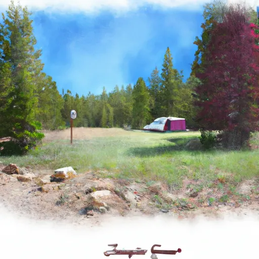
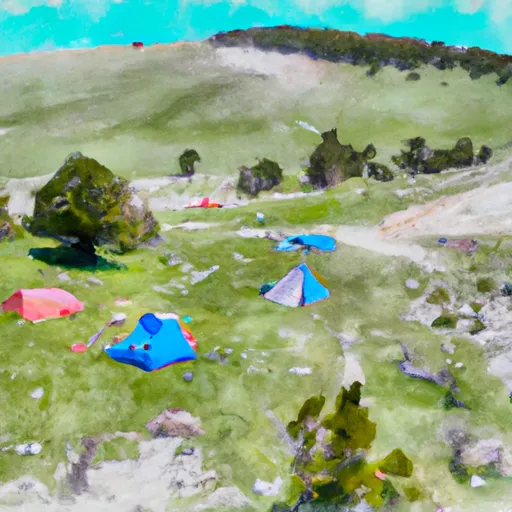
Area Campgrounds
| Location | Reservations | Toilets |
|---|---|---|
 Garnet Meadows
|
||
 Caves
Caves
|
||
 Moraines
|
||
 Corbett High Camp
|
||
 Lower Saddle
|
||
 Platform Campsites
|
