Summary
With its towering elevation, it stands as an impressive landmark. The mountain reaches an elevation of approximately 12,000 feet, offering breathtaking panoramic views of the surrounding area. Its substantial size and imposing presence make it a popular destination for mountaineers and outdoor enthusiasts.
During the winter season, East Grandaddy Mountain experiences a diverse snowpack range. The mountain's elevation and location contribute to its significant accumulation of snow, providing ample opportunities for winter sports such as skiing and snowboarding. The snowpack can vary depending on weather patterns, with depths ranging from a few feet to several meters, creating ideal conditions for winter adventurers.
East Grandaddy Mountain also plays a crucial role in the local hydrology, as several creeks and rivers receive runoff from its slopes. Precipitation that falls as snow during the winter slowly melts during the warmer months, feeding into these waterways and contributing to the overall flow of the region. This runoff not only sustains the local ecosystem but also supports various recreational activities like fishing and rafting.
The name "East Grandaddy Mountain" carries an intriguing history. While there is limited information on the origin of the name, it is believed to be derived from Native American legends or early explorers. The lore surrounding the mountain adds an air of mystique to the area, captivating visitors with its untold stories and intriguing past.
°F
°F
mph
Wind
%
Humidity

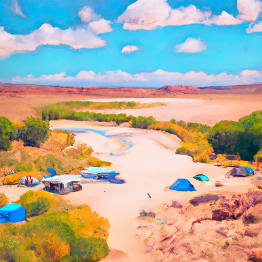 Splash Dam Campsite Camping Area
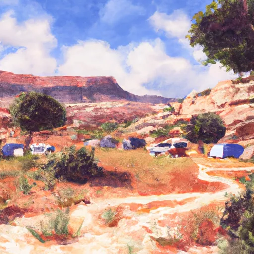 Rock Creek Group Campground
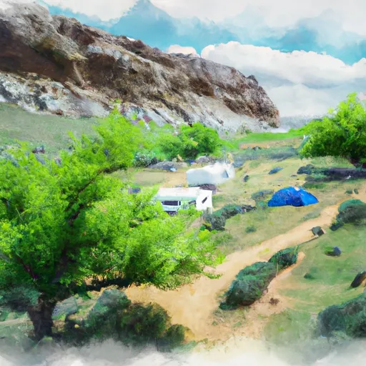 Upper Stillwater
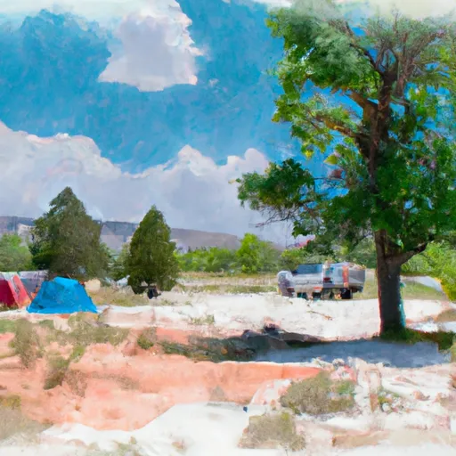 Upper Stillwater Campground
 Rock Spring Camping Area
 Upper Stillwater House
 Bedground Lake
 Cabin Lake
 Carolyn Lake
 Packard Lake
 Fehr Lake