Summary
With an elevation of around 10,320 feet, it offers stunning panoramic views of the surrounding area. The peak derives its name from its unique shape, resembling a sundial when viewed from certain angles.
During the winter season, Sundial Peak experiences a variable snowpack range. The depth of snow on the mountain can range from several feet to over ten feet, depending on the year and weather conditions. This makes it an attractive destination for winter mountaineering and backcountry skiing enthusiasts.
Several creeks and rivers receive runoff from Sundial Peak, including Lake Blanche Creek and Broads Fork Twin Peaks Fork. These water sources contribute to the overall beauty of the area, forming picturesque waterfalls and providing a habitat for diverse flora and fauna.
As for the history and lore surrounding Sundial Peak, there are no specific legends or myths associated with the mountain. However, the peak's name has been in use for many years, with references dating back to the early 1900s. Its distinct shape and visibility from various vantage points have made it a popular subject for photographers and outdoor enthusiasts alike.
In conclusion, Sundial Peak in the Rocky Mountains mountain range offers a majestic mountaineering experience, with its impressive elevation, variable snowpack range during winter, and picturesque runoff into creeks and rivers. While it may lack specific legends or lore, its unique shape and long-standing name add to its allure.
°F
°F
mph
Wind
%
Humidity
15-Day Weather Outlook
5-Day Hourly Forecast Detail
Regional Streamflow Levels
7
Cubic Feet Per Second
114
Cubic Feet Per Second
17
Cubic Feet Per Second
49
Cubic Feet Per Second
Area Campgrounds
| Location | Reservations | Toilets |
|---|---|---|
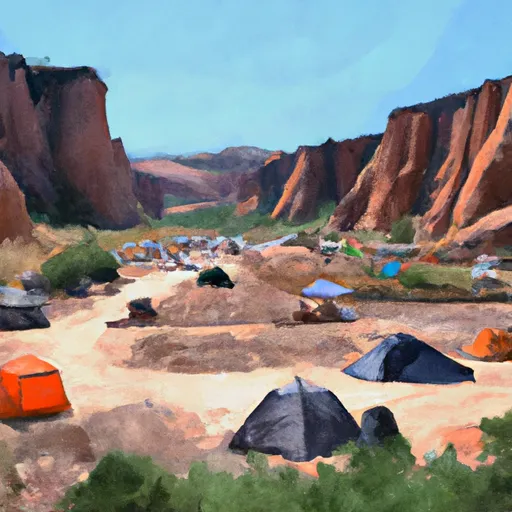 Tanners Flat
|
||
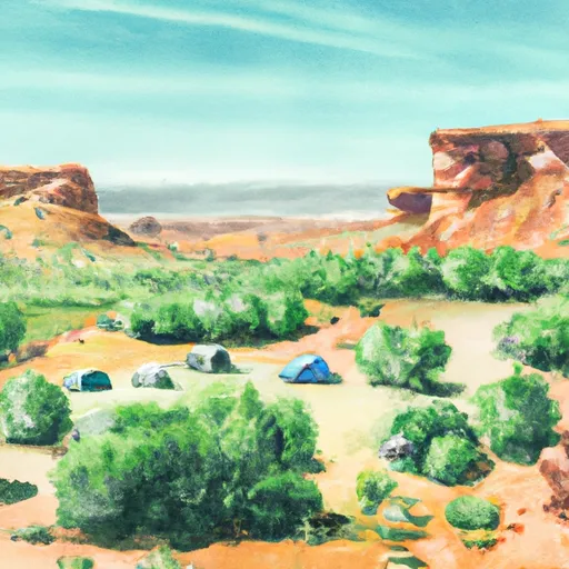 Tanners Flat Campground
|
||
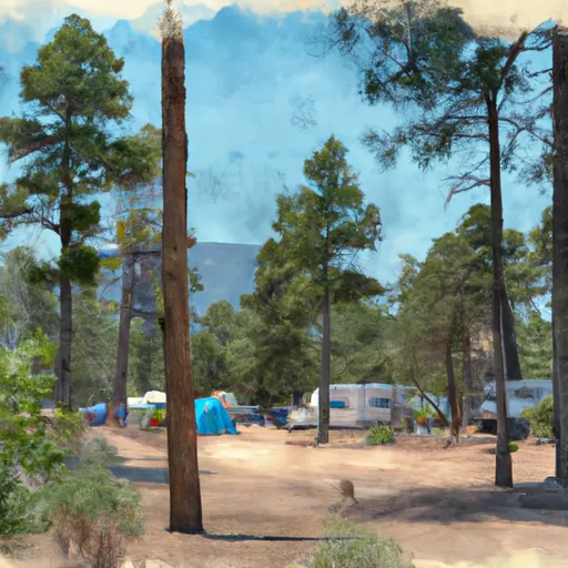 Jordan Pines Group Campground
|
||
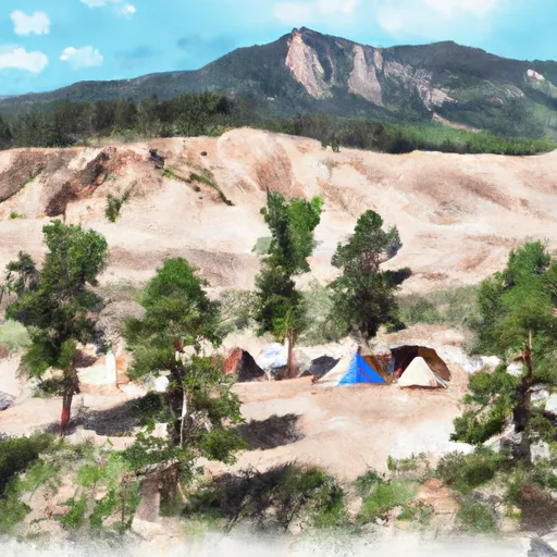 Spruces
|
||
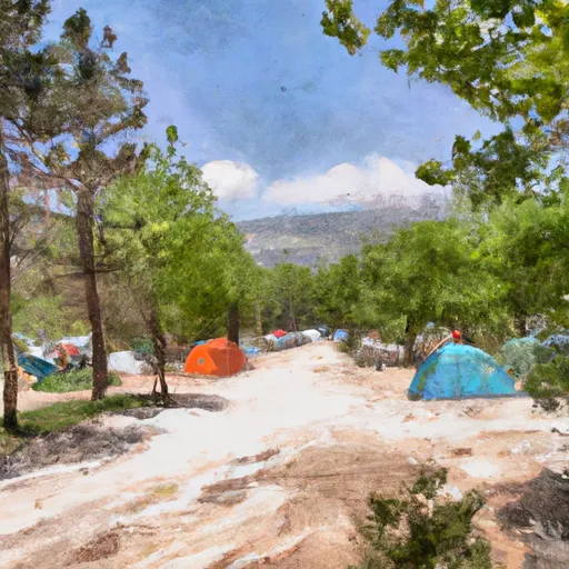 Spruces Campground
|
||
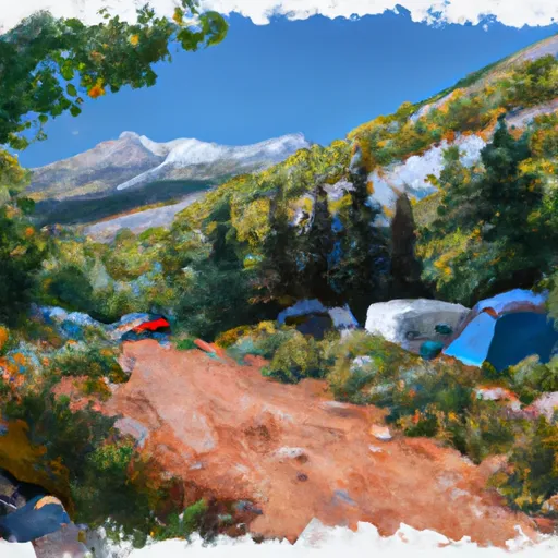 Albion Basin Campground
|

 Lake Florence
 Lake Solitude
 Lake Martha
 Silver Lake
 Lake Desolation