SNOFLO
Login
Climate
►
Snow Report
Flow Report
Avalanche Data
Buoy Levels
Mountains
Reservoirs
River Levels
Watersheds
Recreation
►
Boat Launches
Camping
Fishing
Parks
Points of Interest
River Surfing
Ski & Snowboard
Surfing
Whitewater Paddling
Tools
►
Snoflo Map
Latest News
Fish Species Guide
Flood Monitor
Welcome to Snoflo
Continue with a
free
account
Already Have an Account?
By clicking the sign up button above you agree to the
terms of service
,
code of conduct
, and
privacy policy
Snoflo Premium
Your first week's
free
. Cancel anytime
Snoflo Premium
$6.99/Month
After 7 Day Free Trial
Secure Payment Information
Already Have an Account?
By clicking the sign up button above you agree to the
terms of service
,
code of conduct
, and
privacy policy
. After any free trial period is completed, you agree to a recurring monthly charge of
$6.99
until you cancel. Cancel anytime prior to renewal date to avoid future charges.
Login to Snoflo
Need an Account?
Reset Your Password
SNOFLO
®
Login
Climate
Snow Report
Flow Report
Avalanche Data
Buoy Levels
Mountains
Reservoirs
River Levels
Watersheds
Recreation
Boat Launches
Camping
Fishing
Parks
Points of Interest
River Surfing
Ski & Snowboard
Surfing
Whitewater Paddling
Tools
Snoflo Map
Latest News
Fish Species Guide
Flood Monitor
Terms
Privacy
Try Premium for Free
Sign In
River Runs
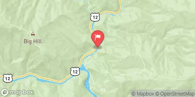
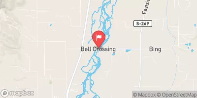
32ND STREET TO SMELTER
RIVER RUNS
May 1, 2025
°F
°F
mph
Windspeed
%
Humidity
Last Updated
River Levels
cfs ( ft)
Percent of Normal
+100%
Status
Class Level
III to IV-
Elevation
ft
Run Length
3.0 Mi
Gradient
25 FPM
Streamflow Discharge
cfs
Gauge Height
ft
Reporting Streamgage
USGS
River Runs
Explore Interactive Map
32ND STREET TO SMELTER
River Runs
•
Kayaking
•
Whitewater
May 1, 2025
Last Updated
River Levels
cfs ( ft)
Percent of Normal
+100%
Status
Class Level
III to IV-
Elevation
ft
Run Length
3.0 Mi
Gradient
25 FPM
Streamflow Discharge
cfs
Gauge Height
ft
Reporting Streamgage
USGS
Realtime River Levels
USGS
Start Free Trial
Weather Forecast
Nearby Streamflow Levels
MIDDLE FORK SALMON RIVER AT MOUTH NR SHOUP ID
7580cfs
WEST FORK BITTERROOT RIVER NR CONNER MT
237cfs
BITTERROOT RIVER NEAR DARBY MT
1600cfs
SF CLEARWATER RIVER NR ELK CITY ID
42cfs
BLACKBIRD CREEK NEAR COBALT
12cfs
SALMON RIVER NR SHOUP ID
3850cfs
NAPIAS CREEK BELOW ARNETT CREEK NEAR LEESBURG
112cfs
View Interactive Map
View more
Local Parks
Travelers' Rest State Park
Frenchtown Pond State Park
Blodgett Park
Fish Creek State Park
Lee Metcalf National Wildlife Refuge
View more
Nearby Fishing
Bitterroot River
Fenn Pond
Blodgett Creek
Eightmile River Access
Burnt Fork Bitterroot River
View more
Boat Launches
Selway Road Idaho County
Idaho County
Paradise Boating Site
US 12 Idaho County
Corn Creek Boat Ramp Lemhi County
X
LOGIN TO CONTINUE
Already a Member?
Login
Need An Account?
GET UNLIMITED ACCESS NOW
SNOFLO PREMIUM
$4.99/month
After 7 Day Free Trial