Summary
The boat ramp is relatively wide, with enough space to accommodate multiple boats at once.
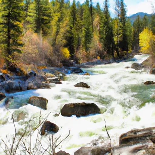
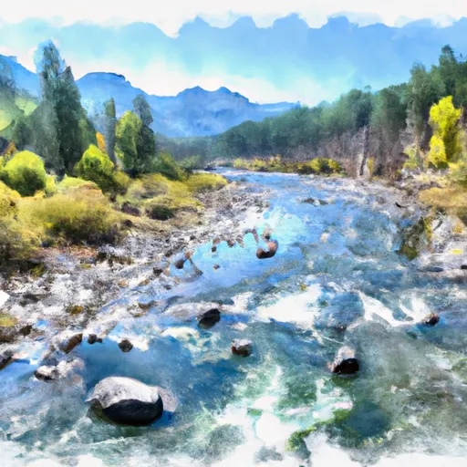
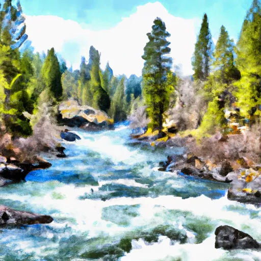
The Paradise Boating Site provides access to the Clark Fork River, which is a popular destination for fishing, boating, and other recreational activities. The river is approximately 310 miles long, flowing through Montana, Idaho, and Washington before joining the Columbia River.
As for the kind of craft that are permitted on the water, the Paradise Boating Site is open to various types of boats, including canoes, kayaks, fishing boats, and pontoon boats. However, motorized boats are subject to a speed limit of 35 mph on the Clark Fork River.
Overall, the Paradise Boating Site is a well-maintained boat ramp that provides easy access to the scenic Clark Fork River, making it a popular destination for outdoor enthusiasts in Montana.
°F
°F
mph
Wind
%
Humidity

 Paradise Boating Site
 Paradise to Selway Falls
 Sec. 28, T30N, R13E To Boundary Selway-Bitterroot Wilderness
 Wilderness Boundary To Headwaters
 Selway River, Sec. 16, T31N, R13E To Headwaters
 32nd Street to Smelter