Summary
The ideal streamflow range for this section is between 500-1,500 cfs. The river is rated as class III-IV, meaning it has moderate to difficult rapids and obstacles. The segment mileage is approximately 11 miles, with several notable rapids and obstacles such as House Rock, Upset Rapid, and Hance Rapid, which are all known for their technical difficulty and high adrenaline factor.
There are specific regulations for this area that include a required permit to access the river. The permit must be obtained in advance and is limited to a certain number of participants per day. Additionally, all participants are required to carry and wear personal flotation devices while on the river. There are also strict guidelines for camping and fires along the riverbank to preserve the natural beauty of the area.
Overall, the Whitewater River Run from Park Boundary to Confluence with the Colorado River provides a thrilling and challenging whitewater experience for experienced paddlers. It is important to follow all regulations and safety guidelines to ensure a safe and enjoyable trip.
°F
°F
mph
Wind
%
Humidity
15-Day Weather Outlook
River Run Details
| Last Updated | 2026-02-07 |
| River Levels | 13 cfs (4.45 ft) |
| Percent of Normal | 76% |
| Status | |
| Class Level | iii-iv |
| Elevation | ft |
| Run Length | 3.0 Mi |
| Streamflow Discharge | cfs |
| Gauge Height | ft |
| Reporting Streamgage | USGS 09382000 |
5-Day Hourly Forecast Detail
Nearby Streamflow Levels
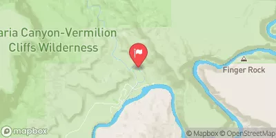 Paria River At Lees Ferry
|
23cfs |
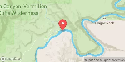 Colorado River At Lees Ferry
|
10400cfs |
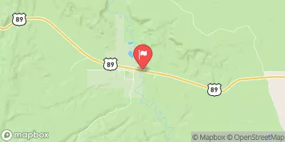 Paria River Near Kanab
|
43cfs |
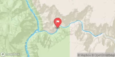 Little Colorado River Abv Mouth Nr Desert View
|
228cfs |
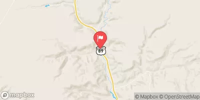 Kanab Creek Near Kanab
|
7cfs |
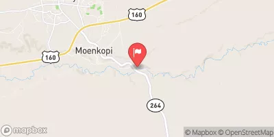 Moenkopi Wash At Moenkopi
|
2cfs |
Area Campgrounds
| Location | Reservations | Toilets |
|---|---|---|
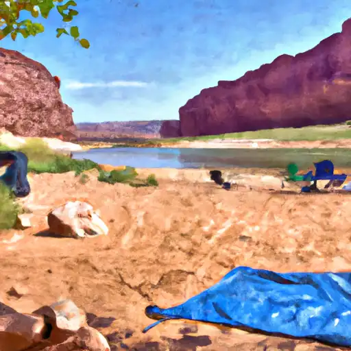 Lees Ferry - Glen Canyon Area
|
||
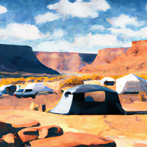 Lees Ferry Campground
|
||
 Lee's Ferry Campground
|
||
 Lone Rock Campground
|
||
 Wahweap Campground
|
||
 Lone rock camping site
|


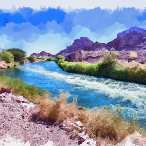 Park Boundary To Confluence With The Colorado River
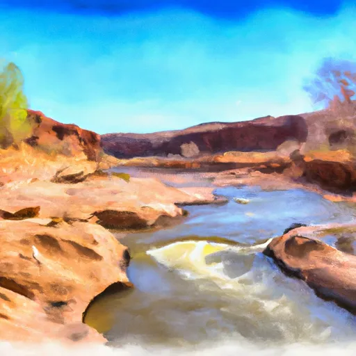 Paria River
 Grand Canyon