Summary
It begins 1 mile below the Redwall in both of the main arms and ends at the confluence with the Colorado River. The ideal streamflow range for this run is between 8,000 and 20,000 cubic feet per second (cfs), making it a Class III-IV rated run. The river run covers approximately 28 miles, and the segment mileage is from mile 180 to mile 152 on the Colorado River.
There are several specific river rapids and obstacles to navigate along the Whitewater River Run, including Grapevine, Tanner, Hance, and Crystal Rapids. Grapevine Rapid is a Class III rapid with waves that can reach up to 6 feet in height. Tanner Rapid is a Class IV rapid that contains a large hole that can be challenging to navigate. Hance Rapid is considered one of the most difficult rapids on the river, with a Class IV+ rating and a steep drop that requires precise navigation. Crystal Rapid is a Class III rapid that contains several large boulders that must be avoided.
To ensure the safety of all visitors, there are specific regulations in place for the Whitewater River Run. All visitors must have a permit to enter the area, and only motorized rafts or kayaks are allowed. Additionally, visitors must wear a personal flotation device (PFD) at all times while on the river. It is recommended that visitors have previous whitewater experience before attempting this run.
Overall, the Whitewater River Run in Arizona is an exciting adventure for experienced whitewater enthusiasts. With specific regulations in place and several challenging rapids to navigate, visitors must take appropriate safety precautions to ensure a safe and enjoyable experience.
°F
°F
mph
Wind
%
Humidity
15-Day Weather Outlook
River Run Details
| Last Updated | 2026-02-07 |
| River Levels | 17200 cfs (10.71 ft) |
| Percent of Normal | 92% |
| Status | |
| Class Level | iii-iv |
| Elevation | ft |
| Run Length | 6.0 Mi |
| Streamflow Discharge | cfs |
| Gauge Height | ft |
| Reporting Streamgage | USGS 09402500 |
5-Day Hourly Forecast Detail
Nearby Streamflow Levels
Area Campgrounds
River Runs
-
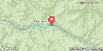
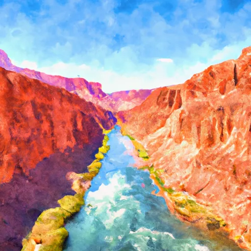 Begins 1 Mile Below The Redwall In Both Of The Main Arms To Confluence With The Colorado River
-
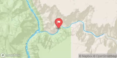
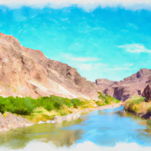 Begins 2.3 Miles Upstream From Confluence With Colorado River To Confluence With The Colorado River
-
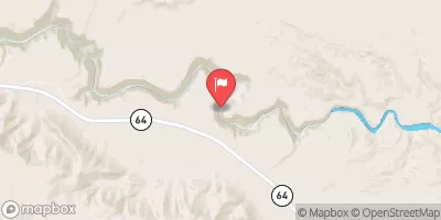
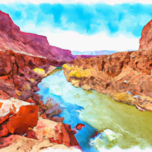 The Redwall To Confluence With The Colorado River
-
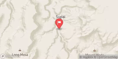
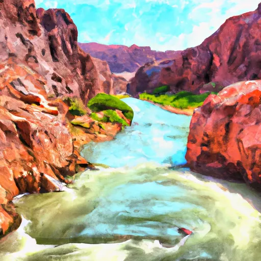 The Base Of The Redwall To Confluence With The Colorado River


 Horseshoe Mesa Camp
 Hull Cabin
 Trailer Village - Grand Canyon National Park
 Clear Creek Camp
 Mather Campground
 Mather - Grand Canyon National Park