Summary
The ideal streamflow range for this run is between 8,000-25,000 cfs, which provides for a thrilling ride with rapids ranging from Class III to Class V. The segment mileage for the run is approximately 225 miles.
The run features several notable rapids and obstacles, including the Hance Rapid, which is known for its steep drops and powerful waves, and the Crystal Rapid, which requires precise navigation through narrow channels and obstacles. The run also features several waterfalls, including the Elves Chasm and Thunder River.
To ensure the safety of both rafters and the environment, specific regulations have been put in place for the Whitewater River Run. These regulations include limiting the number of visitors to the area, requiring permits for river use, and prohibiting the use of certain equipment, such as glass bottles.
Overall, the Whitewater River Run from the Redwall to Confluence with the Colorado River in Arizona is a challenging and exciting adventure for experienced rafters. However, it is important to abide by all regulations and guidelines to ensure safety and preservation of the area.
°F
°F
mph
Wind
%
Humidity
15-Day Weather Outlook
River Run Details
| Last Updated | 2026-02-07 |
| River Levels | 17200 cfs (10.71 ft) |
| Percent of Normal | 92% |
| Status | |
| Class Level | iii-v |
| Elevation | ft |
| Run Length | 15.0 Mi |
| Streamflow Discharge | cfs |
| Gauge Height | ft |
| Reporting Streamgage | USGS 09402500 |
5-Day Hourly Forecast Detail
Nearby Streamflow Levels
Area Campgrounds
River Runs
-
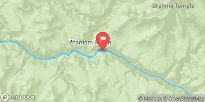
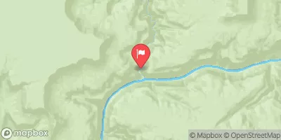
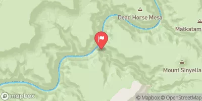
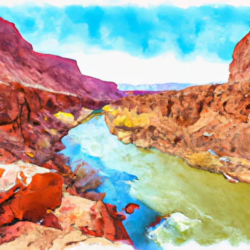 The Redwall To Confluence With The Colorado River
-
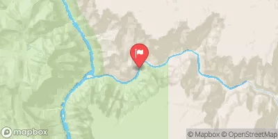
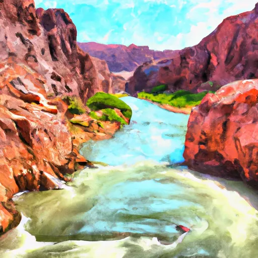 The Base Of The Redwall To Confluence With The Colorado River
-
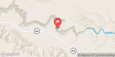
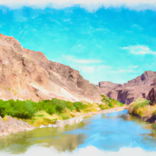 Begins 2.3 Miles Upstream From Confluence With Colorado River To Confluence With The Colorado River
-
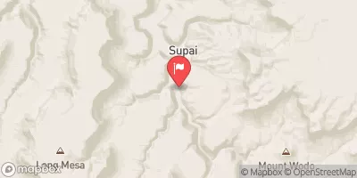
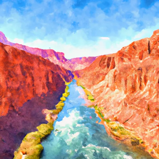 Begins 1 Mile Below The Redwall In Both Of The Main Arms To Confluence With The Colorado River


 Trailer Village - Grand Canyon National Park
 Mather Campground
 Mather - Grand Canyon National Park
 Bright Angel Campground
 Indian Garden Campground
 Horseshoe Mesa Camp