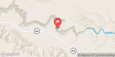
Begins 1.5 Miles Upstream From Confluence With Topaz Canyon Creek To Confluence With The Colorado River Paddle Report
Last Updated: 2026-02-07
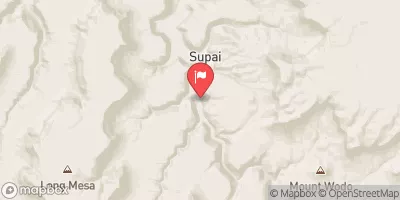
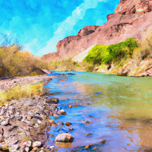
The Whitewater River Run in Arizona begins 1.5 miles upstream from the confluence with Topaz Canyon Creek and ends at the confluence with the Colorado River.
Summary
The ideal streamflow range for this river run is between 200-800 cubic feet per second (cfs), with the best time to visit being in the spring and early summer. The class rating for this river run ranges from II-IV, with certain sections being more challenging than others. The total segment mileage for this river run is approximately 12 miles.
Some of the specific river rapids and obstacles to watch out for on this river run include Topaz Rapid, which is a class IV rapid with a steep drop and a length of approximately 150 yards. Other notable rapids include Eye of the Needle, which is a class III rapid with a narrow channel, and Rock Drop Rapid, which is a class II rapid with a drop of approximately 3 feet.
In terms of regulations, a permit is required to access this river run, and visitors must comply with all rules and regulations outlined by the Bureau of Land Management. It is also recommended that visitors wear appropriate safety gear, including life jackets and helmets, and that they have prior experience with whitewater kayaking or rafting. In addition, visitors must follow Leave No Trace principles and pack out all trash and waste.
°F
°F
mph
Wind
%
Humidity
15-Day Weather Outlook
River Run Details
| Last Updated | 2026-02-07 |
| River Levels | 17200 cfs (10.71 ft) |
| Percent of Normal | 92% |
| Status | |
| Class Level | iv-iii |
| Elevation | ft |
| Run Length | 3.0 Mi |
| Streamflow Discharge | cfs |
| Gauge Height | ft |
| Reporting Streamgage | USGS 09402500 |
5-Day Hourly Forecast Detail
Nearby Streamflow Levels
Area Campgrounds
| Location | Reservations | Toilets |
|---|---|---|
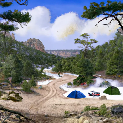 Hermit Creek
|
||
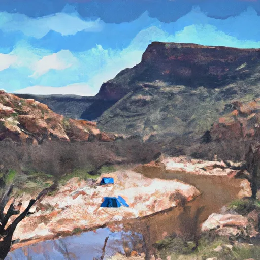 Hermit Rapids
|
||
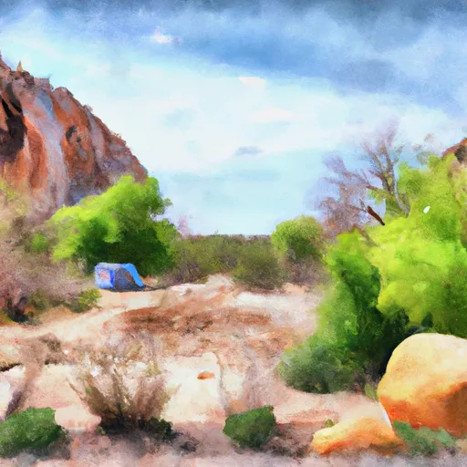 Monument Creek
|
||
 Granite Rapids
|
||
 Cedar Spring
|
||
 Salt Creek Campsite
|
River Runs
-
 Begins 1.5 Miles Upstream From Confluence With Topaz Canyon Creek To Confluence With The Colorado River
-
 Hermit Spring (Dripping Spring) To Confluence With The Colorado River
-
 The Base Of The Redwall To Confluence With The Colorado River
-
 Begins 1 Mile Upstream From Confluence With Dragon Creek To Confluence With The Colorado River


