Summary
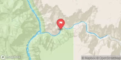
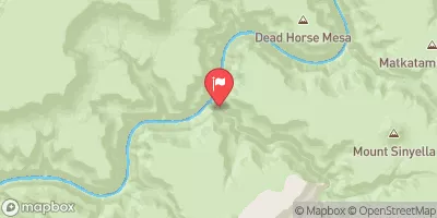
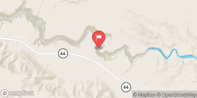
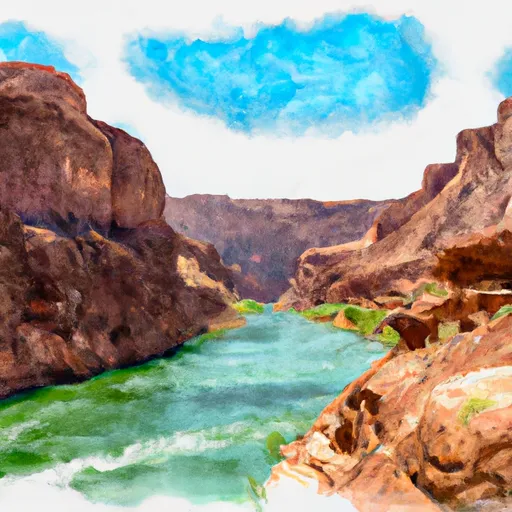
The ideal streamflow range for this run is between 500-3,000 cfs. It is rated a Class III-IV run, with a total segment mileage of approximately 10 miles.
One of the specific rapids on the run is called "The Wall," which is a Class IV rapid with a steep drop and a tight turn. Another obstacle on the run is "Pinball," which is a Class III rapid with several large boulders that create a series of channels and eddies.
There are specific regulations in place for the Whitewater River Run. All boaters must have a permit to access the river, which can be obtained through the Bureau of Land Management. Additionally, all boaters must wear a personal flotation device and carry a whistle and a throw rope.
Sources used to verify this information include the American Whitewater website and the Bureau of Land Management website.
°F
°F
mph
Wind
%
Humidity
15-Day Weather Outlook
River Run Details
| Last Updated | 2026-02-07 |
| River Levels | 220 cfs (5.19 ft) |
| Percent of Normal | 71% |
| Status | |
| Class Level | iii-iv |
| Elevation | ft |
| Run Length | 6.0 Mi |
| Streamflow Discharge | cfs |
| Gauge Height | ft |
| Reporting Streamgage | USGS 09402300 |
5-Day Hourly Forecast Detail
Nearby Streamflow Levels
Area Campgrounds
| Location | Reservations | Toilets |
|---|---|---|
 Point Sublime
|
||
 Hermit Rapids
|
||
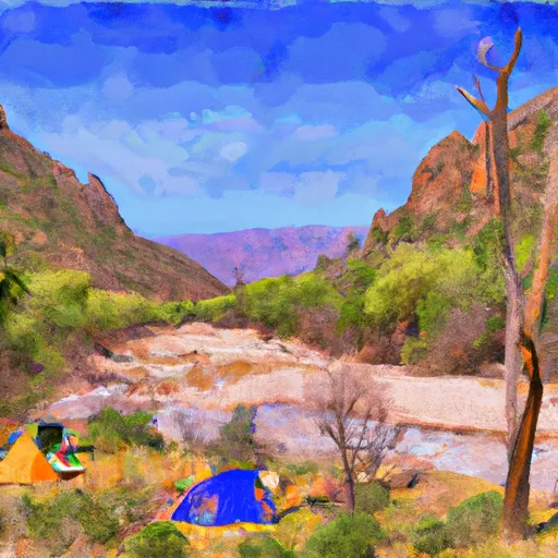 Granite Rapids
|
||
 Cedar Spring
|
||
 Monument Creek
|
||
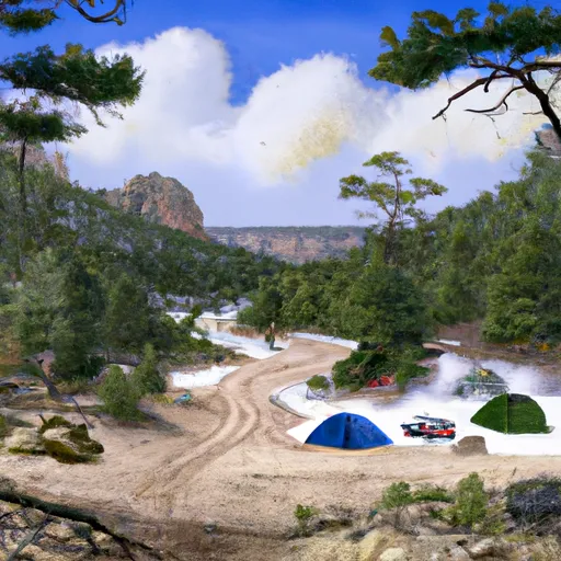 Hermit Creek
|
River Runs
-
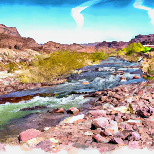 Begins 1 Mile Upstream From Confluence With Dragon Creek To Confluence With The Colorado River
-
 The Base Of The Redwall To Confluence With Bright Angel Creek
-
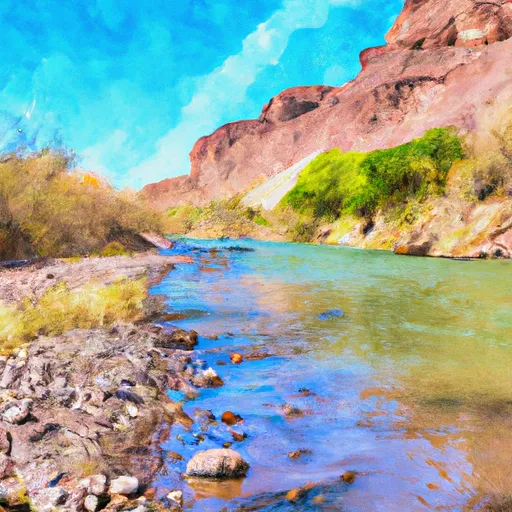 Begins 1.5 Miles Upstream From Confluence With Topaz Canyon Creek To Confluence With The Colorado River
-
 The Base Of The Redwall To Confluence With The Colorado River
-
 Hermit Spring (Dripping Spring) To Confluence With The Colorado River


