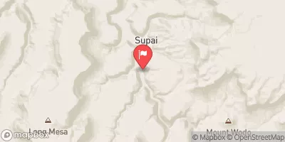
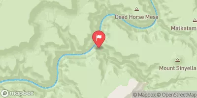
Summary
The ideal streamflow range for this run is between 500 and 1,500 cfs, with the best time to go being from May to June. The Class rating for this run is Class III to IV, with some sections reaching Class V during high water. The segment mileage for this run is approximately 14 miles.
There are some specific river rapids and obstacles to be aware of while on this run. The first major rapid is called Upper Tapeats, which is a Class IV rapid that requires technical maneuvering. Another significant rapid is Lower Tapeats, which is a Class V rapid with a large hole that can flip rafts and cause serious problems for boaters. There are also several smaller rapids and chutes throughout the run that require careful navigation.
It is important to note that there are specific regulations in place for this area. A backcountry permit is required for overnight trips, and there are strict regulations on group size and camping locations. Additionally, all visitors must follow Leave No Trace principles and pack out all trash. Overall, the Whitewater River run is a challenging and exciting adventure for experienced whitewater enthusiasts.
°F
°F
mph
Wind
%
Humidity
15-Day Weather Outlook
River Run Details
| Last Updated | 2026-02-07 |
| River Levels | 220 cfs (5.19 ft) |
| Percent of Normal | 71% |
| Status | |
| Class Level | iii-v |
| Elevation | ft |
| Run Length | 3.0 Mi |
| Streamflow Discharge | cfs |
| Gauge Height | ft |
| Reporting Streamgage | USGS 09402300 |
5-Day Hourly Forecast Detail
Nearby Streamflow Levels
Area Campgrounds
| Location | Reservations | Toilets |
|---|---|---|
 North Rim - Grand Canyon National Park
|
||
 Cottonwood Campground
|
||
 Clear Creek Camp
|
||
 Cape Final
|
||
 Bright Angel Campground
|
||
 Indian Garden Campground
|
River Runs
-
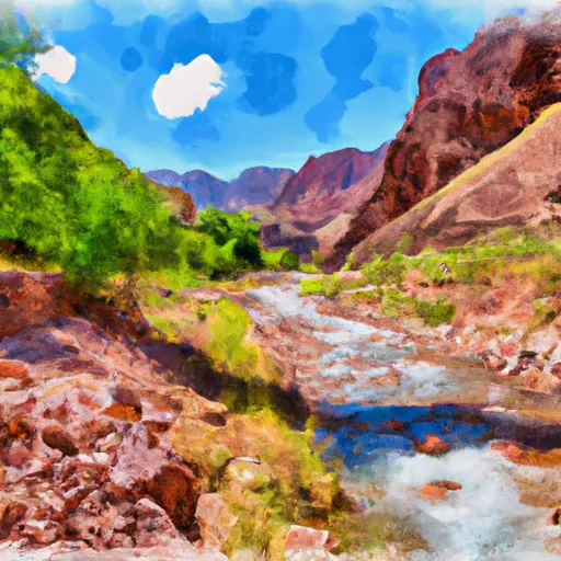 Headwaters To Confluence With Bright Angel Creek
-
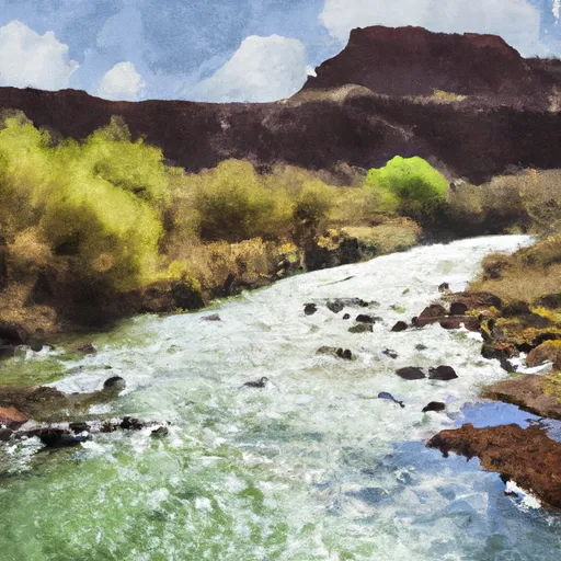 Greenland Spring (Elev. 8000') To Confluence With The Colorado River
-
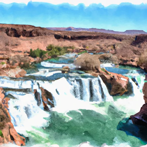 Cheyava Falls To Confluence With The Colorado River
-
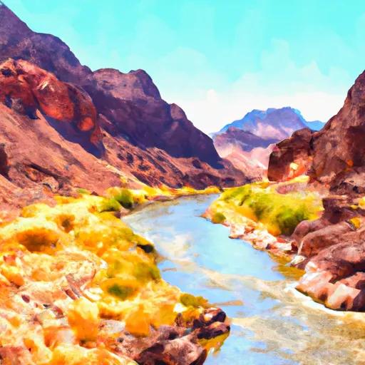 First Major North Arm Of Lava Creek At The Base Of Chiavria Point To Confluence With The Colorado River
-
 Headwaters To Confluence With The Colorado River


