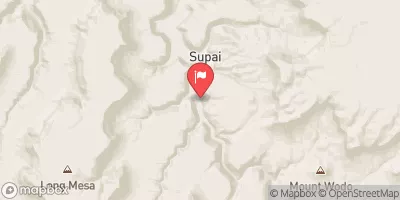
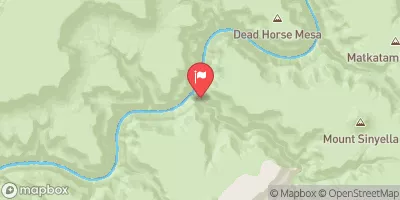
Summary
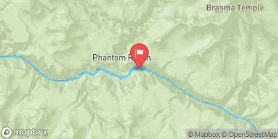
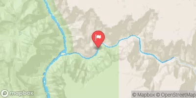
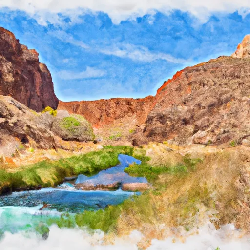
The Whitewater River Run from Greenland Spring to Confluence with the Colorado River in Arizona covers a total distance of 44 miles. The ideal streamflow range for this run is between 1000 and 5000 cfs, with peak flows in late May or early June. The segment is rated as Class III-IV, with sections of difficult rapids and numerous obstacles, including boulder gardens and narrow chutes. One of the most challenging rapids on this section is the House Rock Rapid, which requires precise maneuvering to navigate successfully.
There are specific regulations that apply to this area, including permits required for river trips, strict Leave No Trace policies, and restrictions on camping and fires. The National Park Service manages the Grand Canyon National Park, which encompasses the lower section of the river run, and enforces strict regulations to protect the environment and preserve the wilderness character of the area.
°F
°F
mph
Wind
%
Humidity
15-Day Weather Outlook
River Run Details
| Last Updated | 2026-02-06 |
| River Levels | 220 cfs (5.19 ft) |
| Percent of Normal | 64% |
| Status | |
| Class Level | iii-iv |
| Elevation | ft |
| Run Length | 14.0 Mi |
| Streamflow Discharge | cfs |
| Gauge Height | ft |
| Reporting Streamgage | USGS 09402300 |
5-Day Hourly Forecast Detail
Nearby Streamflow Levels
Area Campgrounds
| Location | Reservations | Toilets |
|---|---|---|
 North Rim - Grand Canyon National Park
|
||
 Cottonwood Campground
|
||
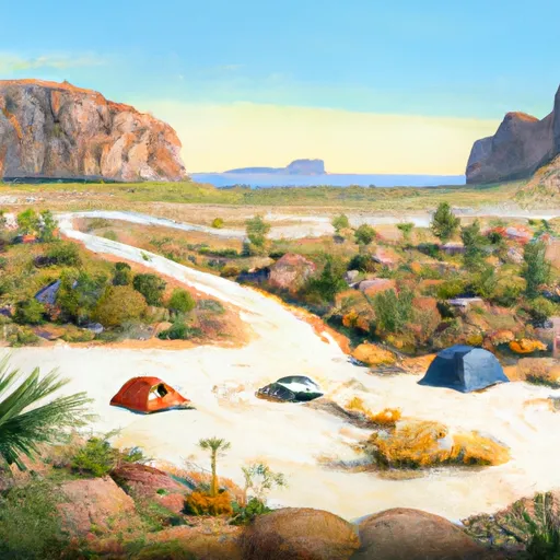 Cape Final
|
||
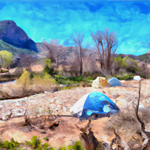 Clear Creek Camp
|
||
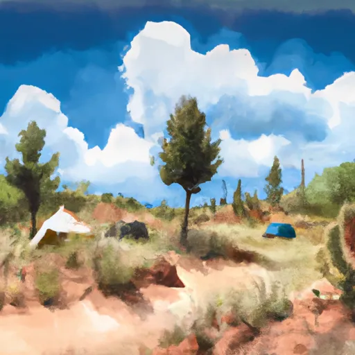 saddle camp ground
|
||
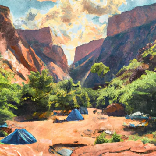 Bright Angel Campground
|
River Runs
-
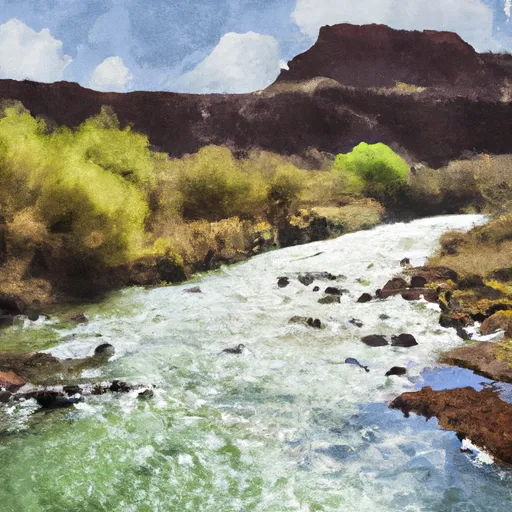 Greenland Spring (Elev. 8000') To Confluence With The Colorado River
-
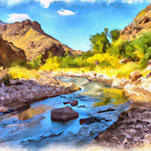 Headwaters To Confluence With Bright Angel Creek
-
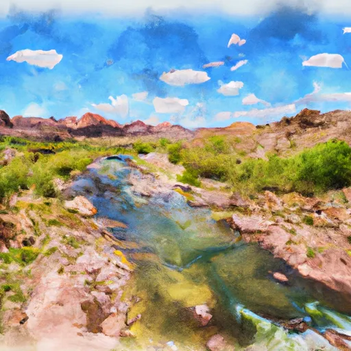 Headwaters To Confluence With The Colorado River
-
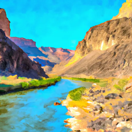 Begins Just Over 1 Mile Beyond Where The Nankoweap Trails Leaves The Creek And Heads Off To The North. To Confluence With The Colorado River
-
 Headwaters At South Canyon Spring To Confluence With The Colorado River


