Summary
The ideal streamflow range for this river is between 500 and 2,000 cfs, with peak flows occurring in the spring and early summer. The river is classified as a Class III to IV, with some Class V rapids and obstacles. The segment mileage for this river is approximately 10 miles.
There are several specific rapids and obstacles on the WhiteWater River, including the "Wall", "S-Turn", and "Ledges". These rapids require technical skill and experience to navigate safely. It is important to note that the river can be dangerous and should only be attempted by experienced kayakers and rafters.
There are specific regulations in place for this area, including a permit requirement for commercial outfitters and a limit on the number of users allowed on the river at any given time. Additionally, all users must follow Leave No Trace principles and pack out all trash and waste.
Overall, the WhiteWater River offers a challenging and exciting experience for experienced whitewater enthusiasts. It is important to research and follow all regulations and safety guidelines to ensure a safe and enjoyable trip.
°F
°F
mph
Wind
%
Humidity
15-Day Weather Outlook
River Run Details
| Last Updated | 2026-02-07 |
| River Levels | 29 cfs (2.18 ft) |
| Percent of Normal | 33% |
| Status | |
| Class Level | iii-v |
| Elevation | ft |
| Streamflow Discharge | cfs |
| Gauge Height | ft |
| Reporting Streamgage | USGS 09504420 |
5-Day Hourly Forecast Detail
Nearby Streamflow Levels
Area Campgrounds
| Location | Reservations | Toilets |
|---|---|---|
 Pine Flat
|
||
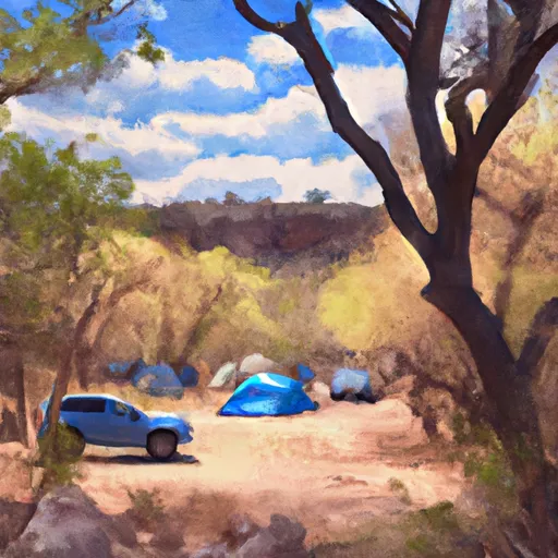 Cave Springs Campground
|
||
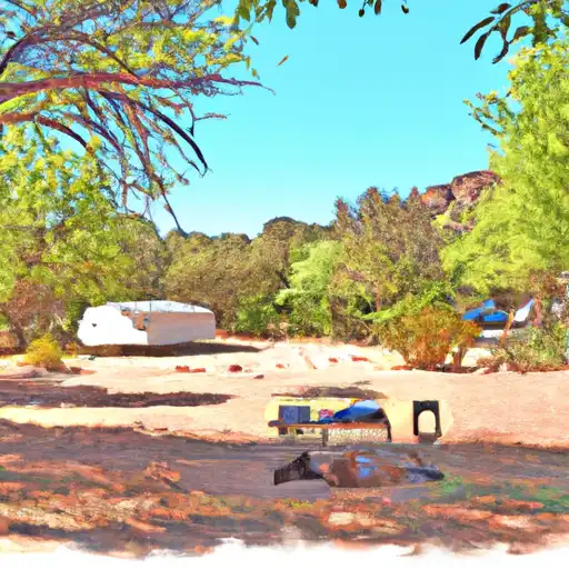 Cave Springs
|
||
 Pumphouse Wash (FR 237) Dispersed Camping Area
|
||
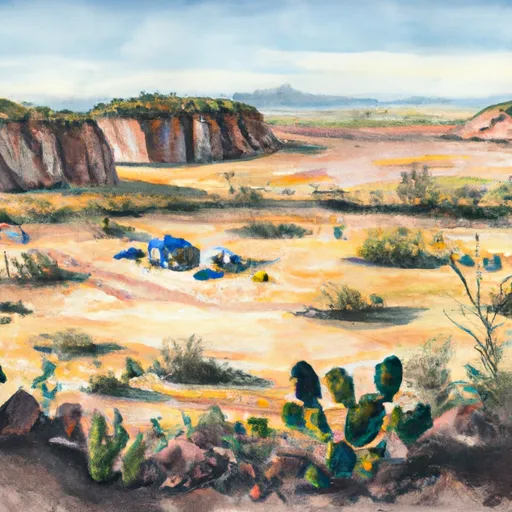 Bootlegger
|
||
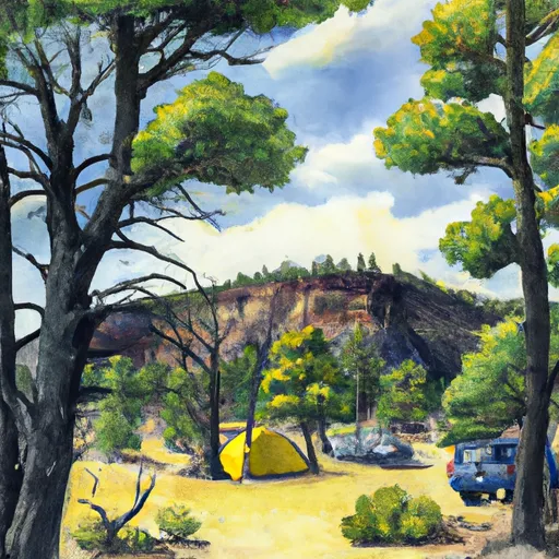 Manzanita
|



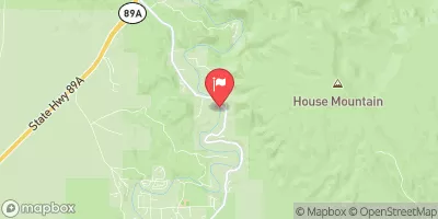
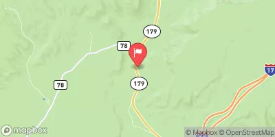
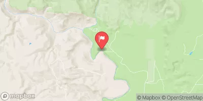
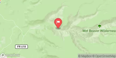
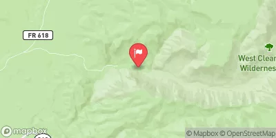
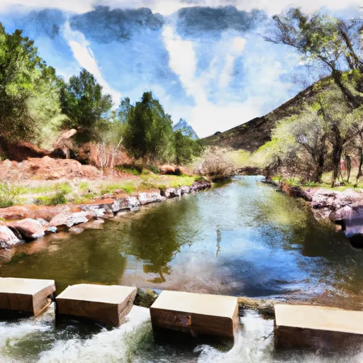 Sterling Springs Fish Hatchery To Private Land In Sec 5, T17N,R6E
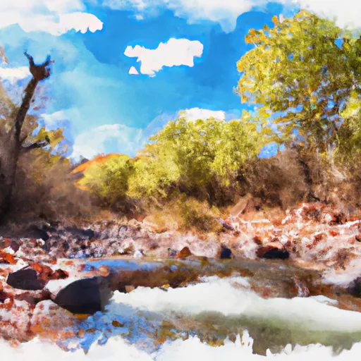 Headwaters In Sec 14, T19N, R5E To Confluence With Oak Creek
 Indian Gardens
 Posse Grounds Community Park
 Wilderness Red Rock-Secret Mountain
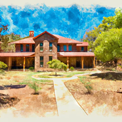 Riordan Mansion State Historic Park