Summary
The ideal streamflow range for this run is between 200-600 cfs, although it can be run at higher flows with experienced paddlers. This segment of the river is rated as Class III-IV, with rapids such as the "Narrows" and "Rock Drop" providing exhilarating drops and tight chutes.
The segment mileage for this run is approximately 8 miles, beginning in Section 14, T19N, R5E and ending at the confluence with Oak Creek. Along the way, paddlers will encounter technical rapids, large boulders, and potentially hazardous hydraulics.
It is important to note that this section of the river is located on private property, and paddlers must obtain permission from the landowner prior to accessing the river. Additionally, there are no designated put-in or take-out points, so be sure to plan accordingly and respect the landowner's property and boundaries.
Overall, the Whitewater River Run is a challenging and exciting whitewater adventure for experienced paddlers. With its technical rapids, tight chutes, and potential hazards, it is important to approach this run with caution and respect for the landowner's property.
°F
°F
mph
Wind
%
Humidity
15-Day Weather Outlook
River Run Details
| Last Updated | 2026-02-07 |
| River Levels | 29 cfs (2.18 ft) |
| Percent of Normal | 33% |
| Status | |
| Class Level | iii-iv |
| Elevation | ft |
| Streamflow Discharge | cfs |
| Gauge Height | ft |
| Reporting Streamgage | USGS 09504420 |
5-Day Hourly Forecast Detail
Nearby Streamflow Levels
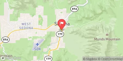 Oak Creek Near Sedona
|
87cfs |
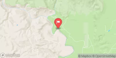 Verde River Near Clarkdale
|
64cfs |
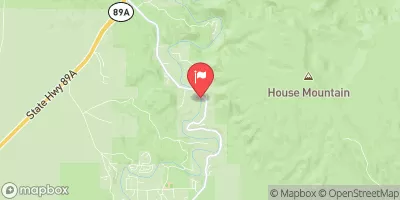 Oak Creek Near Cornville
|
132cfs |
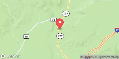 Dry Beaver Creek Near Rimrock
|
72cfs |
 Wet Beaver Creek Near Rimrock
|
11cfs |
 Verde River Near Paulden
|
19cfs |
Area Campgrounds
| Location | Reservations | Toilets |
|---|---|---|
 Fernow Cabin
|
||
 Pine Flat
|
||
 Cave Springs
|
||
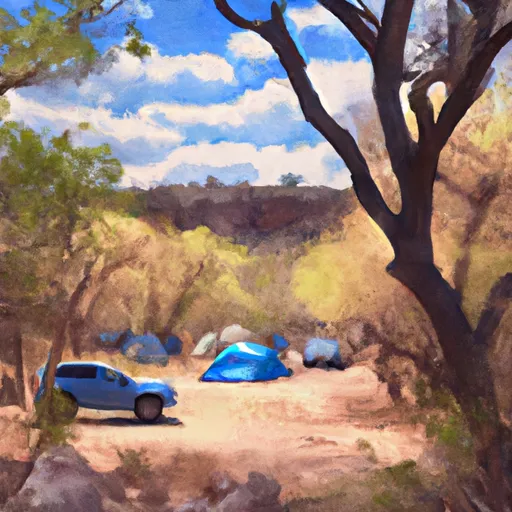 Cave Springs Campground
|
||
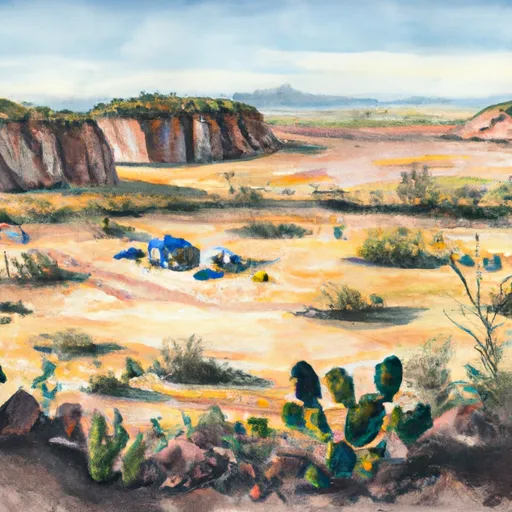 Bootlegger
|
||
 Pumphouse Wash (FR 237) Dispersed Camping Area
|


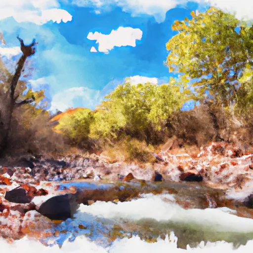 Headwaters In Sec 14, T19N, R5E To Confluence With Oak Creek
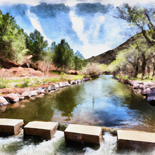 Sterling Springs Fish Hatchery To Private Land In Sec 5, T17N,R6E
 Indian Gardens
 Wilderness Red Rock-Secret Mountain
 Posse Grounds Community Park
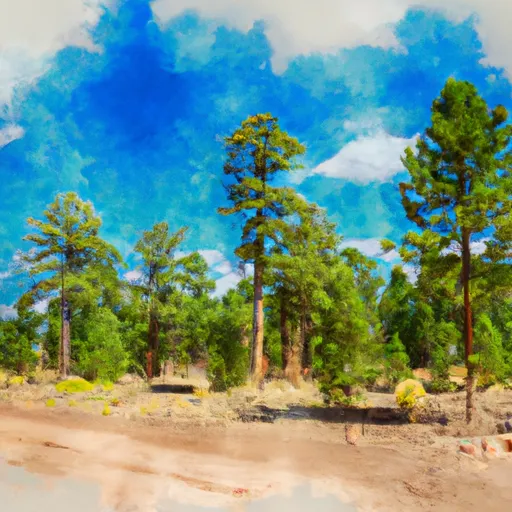 Kaibab National Forest
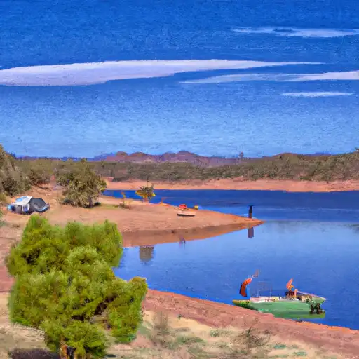 JD Dam Lake
 JD Dam
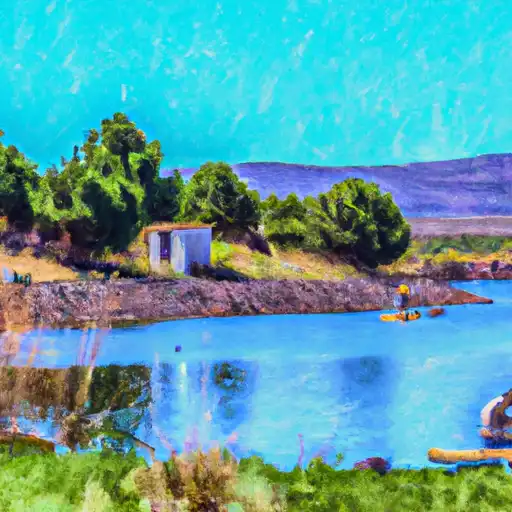 White Horse Lake