Summary
The ideal streamflow range for this section of the Salt River is between 800 and 3000 cubic feet per second (cfs), which usually occurs between March and May. The run is rated as a Class III-IV, with a segment mileage of approximately 10 miles.
There are several notable rapids and obstacles along the route, including the Maze, the Grateful Dead, Black Rock, and Corkscrew. Paddlers should be prepared for steep drops, tight turns, and challenging eddies. It is recommended that only experienced paddlers attempt this run, as it can be dangerous for those without sufficient skills and equipment.
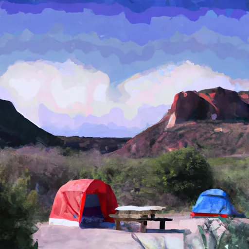
There are specific regulations in place for the Salt River Canyon Wilderness area, including a permit requirement for overnight camping, a limit on group size, and restrictions on campfires and camping locations. Visitors should also be aware of Leave No Trace principles and pack out all trash and waste.
°F
°F
mph
Wind
%
Humidity
15-Day Weather Outlook
River Run Details
| Last Updated | 2026-02-07 |
| River Levels | 275 cfs (6.14 ft) |
| Percent of Normal | 27% |
| Status | |
| Class Level | iii-iv |
| Elevation | ft |
| Streamflow Discharge | cfs |
| Gauge Height | ft |
| Reporting Streamgage | USGS 09498500 |
5-Day Hourly Forecast Detail
Nearby Streamflow Levels
Area Campgrounds
| Location | Reservations | Toilets |
|---|---|---|
 Raftzer Take-Out Dispersed
|
||
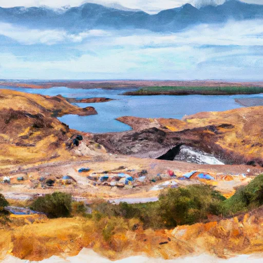 Diversion Dam Dispersed
|
||
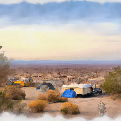 HZ Wash Dispersed
|
||
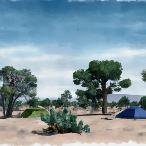 Eucalyptus Dispersed
|
||
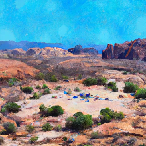 EADS Wash Dispersed
|
||
 Schoolhouse
|


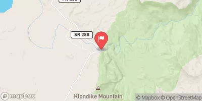
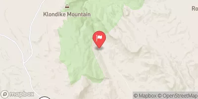
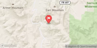
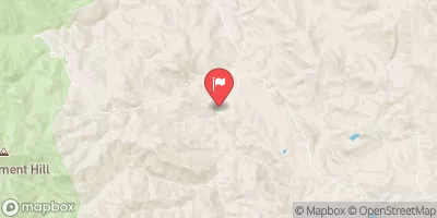
 Southwest Boundary Of Salt River Canyon Wilderness To State Highway 288 Bridge
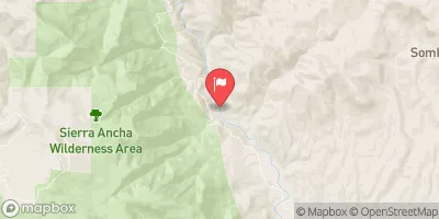
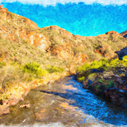 West Boundary Of Fort Apache Indian Reservation To Southwest Boundary Of Salt River Canyon Wilderness