Summary
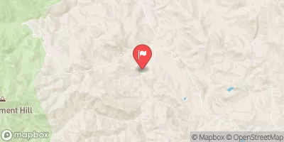
The ideal streamflow range for this run is between 150 and 1000 cfs. The segment covers a distance of approximately 22 miles from the West Boundary of Fort Apache Indian Reservation to Southwest Boundary of Salt River Canyon Wilderness. This segment is rated as Class III-IV rapids, with challenging obstacles and tight turns. The river includes several unique rapids such as the "Corkscrew" and the "Chamberlain Falls."
It is important to note that there are specific regulations in place for the segment, including a mandatory permit requirement for all boaters. Additionally, motorized boats are not allowed on this segment of the river. The regulations are in place to ensure the safety and preservation of the natural environment.
To ensure a safe and enjoyable experience, it is recommended that those planning to run this segment consult with local outfitters, check the streamflow levels, and have proper equipment and training. With proper preparation and adherence to regulations, the Whitewater River Run can be an exciting and challenging adventure for experienced paddlers.
°F
°F
mph
Wind
%
Humidity
15-Day Weather Outlook
River Run Details
| Last Updated | 2026-02-07 |
| River Levels | 275 cfs (6.14 ft) |
| Percent of Normal | 27% |
| Status | |
| Class Level | iii-iv |
| Elevation | ft |
| Streamflow Discharge | cfs |
| Gauge Height | ft |
| Reporting Streamgage | USGS 09498500 |
5-Day Hourly Forecast Detail
Nearby Streamflow Levels
Area Campgrounds
| Location | Reservations | Toilets |
|---|---|---|
 Raftzer Take-Out Dispersed
|
||
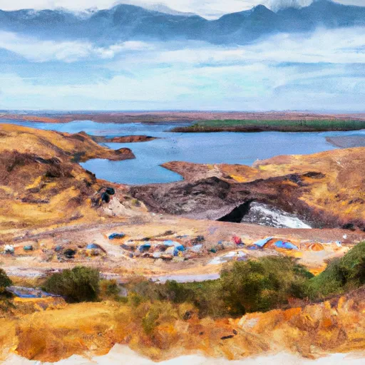 Diversion Dam Dispersed
|
||
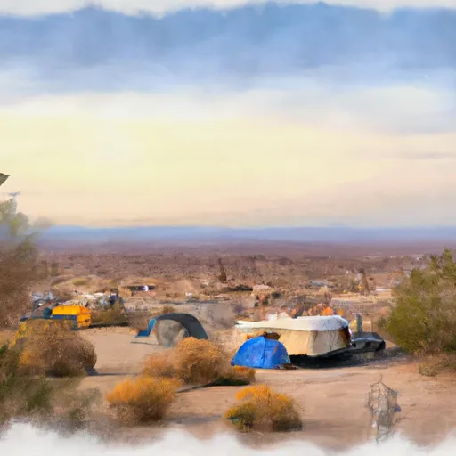 HZ Wash Dispersed
|
||
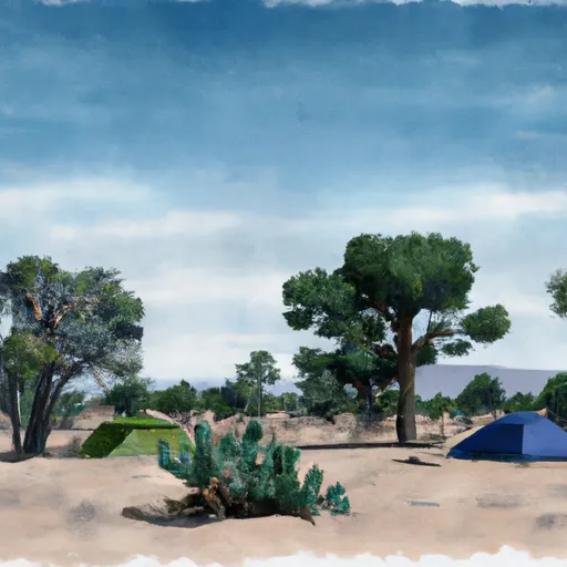 Eucalyptus Dispersed
|
||
 EADS Wash Dispersed
|
||
 Schoolhouse Campground
|


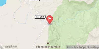
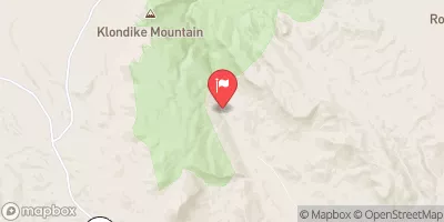
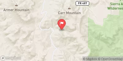
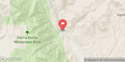
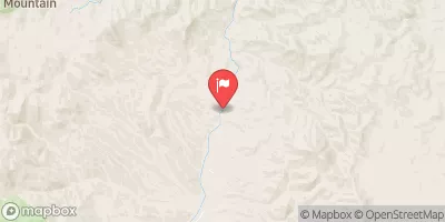
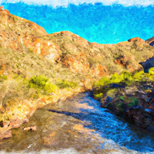 West Boundary Of Fort Apache Indian Reservation To Southwest Boundary Of Salt River Canyon Wilderness
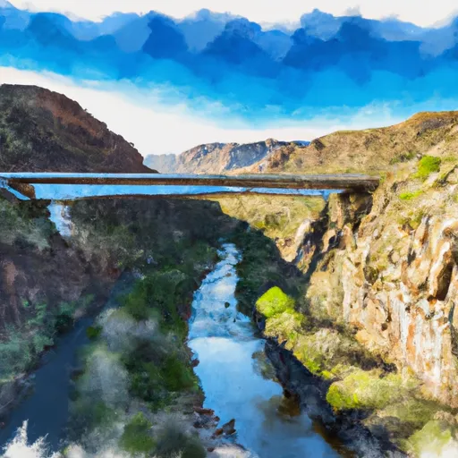 Southwest Boundary Of Salt River Canyon Wilderness To State Highway 288 Bridge
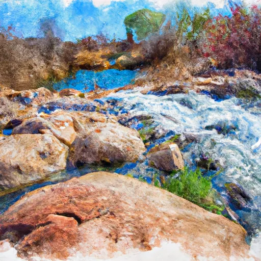 Rock Springs To Confluence With Cottonwood Wash