Summary
The ideal streamflow range for this river is between 300 and 1,500 cubic feet per second (cfs). The class rating of the river is between III and IV, making it suitable for intermediate to advanced paddlers.
The segment mileage of the river run is approximately 21 miles, starting from the Northeast Boundary of Salt River Canyon Wilderness to the West Boundary of Fort Apache Indian Reservation. The river rapids on this stretch of the river are mostly Class III, with a few Class IV rapids such as Grapevine and Gray Ledges.
There are specific regulations to the area that must be followed. For example, a permit is required to enter the Fort Apache Indian Reservation. Additionally, there are restrictions on camping and campfires, and visitors must pack out all their trash to protect the environment.
Overall, the Whitewater River Run is a challenging and thrilling adventure for experienced paddlers. It is important to check the streamflow and weather conditions before embarking on this trip and to follow all regulations to ensure the safety and preservation of the area.
°F
°F
mph
Wind
%
Humidity
15-Day Weather Outlook
River Run Details
| Last Updated | 2026-02-07 |
| River Levels | 11 cfs (1.03 ft) |
| Percent of Normal | 145% |
| Status | |
| Class Level | iii-iv |
| Elevation | ft |
| Streamflow Discharge | cfs |
| Gauge Height | ft |
| Reporting Streamgage | USGS 09497800 |


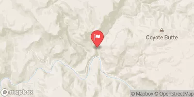
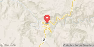
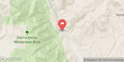
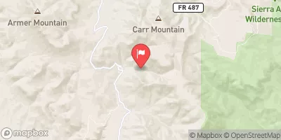
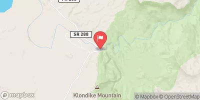
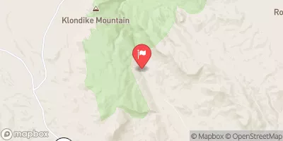
 Northeast Boundary Of Salt River Canyon Wildernes To West Boundary Of Fort Apache Indian Reservation
 West Boundary Of San Carlos Indian Reservation To Northeast Boundary Of Salt River Canyon Wilderness
 Upper Salt Daily