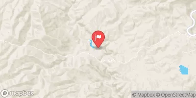
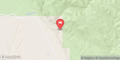
Summary
°F
°F
mph
Wind
%
Humidity
15-Day Weather Outlook
River Run Details
| Last Updated | 2025-06-28 |
| River Levels | 31 cfs (1.8 ft) |
| Percent of Normal | 110% |
| Status | |
| Class Level | None |
| Elevation | ft |
| Streamflow Discharge | cfs |
| Gauge Height | ft |
| Reporting Streamgage | USGS 09447000 |
5-Day Hourly Forecast Detail
Nearby Streamflow Levels
Area Campgrounds
| Location | Reservations | Toilets |
|---|---|---|
 Coal Creek Campground
|
||
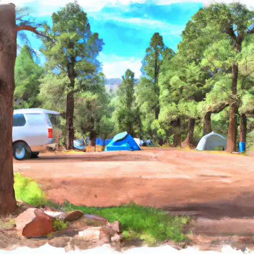 Coal Creek
|
||
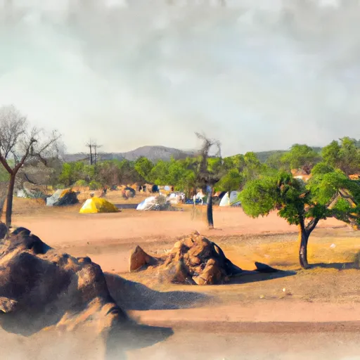 Black Jack Group Campground
|
||
 Black Jack
|
River Runs
-
 1/4 Mile Below Az Highway 78 To 1 Mile Below Az Highway 78
-
 1 Mile Below Az Highway 78 To 1/4 Mile Above The Powerlines
-
 1/4 Mile Above The Powerlines To 1/4 Mile Below The Powerlines
-
 1/4 Mile Below The Power Lines To Confluence With The San Francisco River
-
 Headwaters To 1/4 Mile Above Az Highway 78
-
 1.5 Miles Above Confluence Of Left And Right Creek On Left Prong To Confluence Of Left And Right Prongs Dix Creek


