Summary
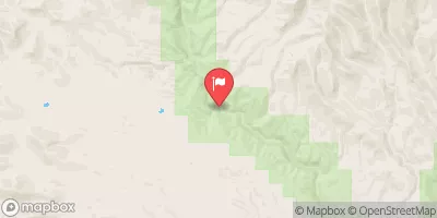
The ideal streamflow range for this run is between 100 and 500 cfs. The segment mileage for this run is 1.5 miles, from the confluence of the left and right prongs of Dix Creek to the confluence of the left and right prongs of the Whitewater River.
The Whitewater River Run is rated as a Class III-IV, which means it is suitable for intermediate to advanced paddlers. This run has several challenging rapids and obstacles, including the "S-Turn" and "Narrows" rapids, which require precise maneuvering and a good understanding of the river.
There are specific regulations in place for the Whitewater River Run, including the requirement for all boaters to wear a personal flotation device (PFD) at all times. Additionally, boaters are not allowed to enter the river before sunrise or after sunset and must take all necessary precautions to prevent the spread of invasive species.
Overall, the Whitewater River Run is an exciting and challenging destination for experienced paddlers. However, it is important to check the streamflow levels and regulations before embarking on this adventure.
°F
°F
mph
Wind
%
Humidity
15-Day Weather Outlook
River Run Details
| Last Updated | 2026-02-07 |
| River Levels | 1 cfs (1.15 ft) |
| Percent of Normal | 35% |
| Status | |
| Class Level | iii-iv |
| Elevation | ft |
| Streamflow Discharge | cfs |
| Gauge Height | ft |
| Reporting Streamgage | USGS 09430600 |
5-Day Hourly Forecast Detail
Nearby Streamflow Levels
Area Campgrounds
| Location | Reservations | Toilets |
|---|---|---|
 Coal Creek Campground
|
||
 Coal Creek
|
||
 Black Jack Group Campground
|
||
 Black Jack
|
River Runs
-
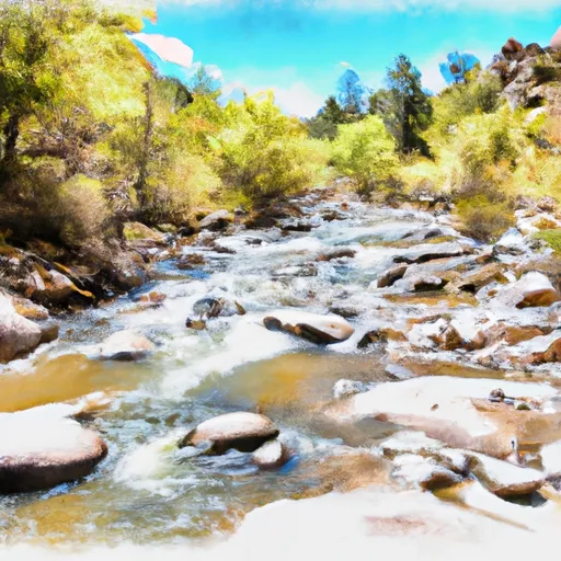 1.5 Miles Above Confluence Of Left And Right Creek On Left Prong To Confluence Of Left And Right Prongs Dix Creek
-
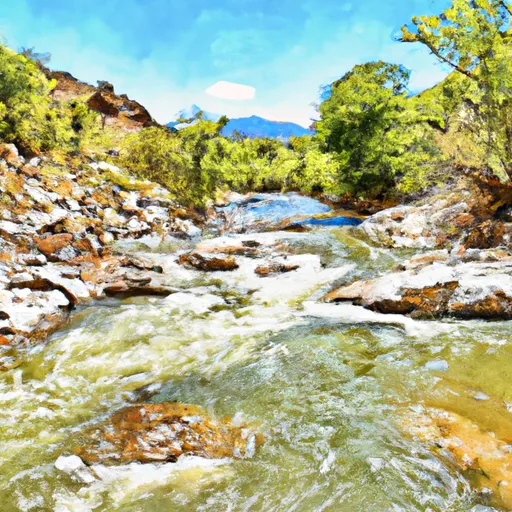 0.5Miles Above Confluence Of Left And Right Prongs Dix Creek On Left Prong To 0.1 Miles Above Diversion On Dix Creek
-
 Confluence With Harden Cienega Creek To Apache-Sitgreaves National Forest Boundary
-
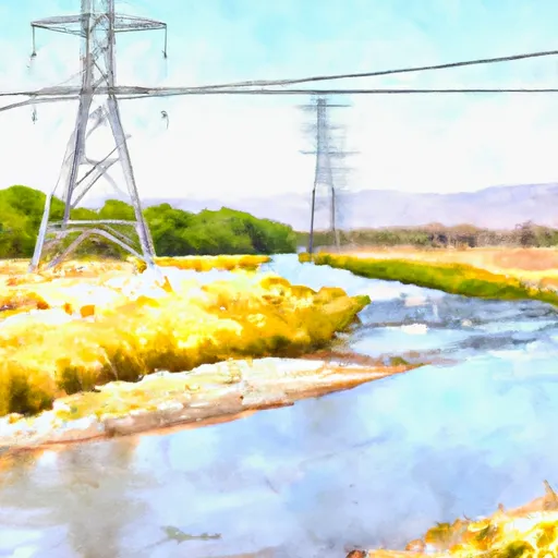 1/4 Mile Below The Power Lines To Confluence With The San Francisco River
-
 1/4 Mile Above The Powerlines To 1/4 Mile Below The Powerlines
-
 1 Mile Below Az Highway 78 To 1/4 Mile Above The Powerlines


