Summary
The ideal streamflow range for this river run is between 200 and 500 cubic feet per second (cfs), making it best to visit during the spring months. The segment mileage for this river run is 23 miles, with a class rating ranging from II to IV.
The Gila River features several exciting rapids and obstacles, including Widowmaker, a Class III rapid with several rock formations to navigate around. Another notable rapid is Corkscrew, a Class IV section that requires expert maneuvering through a narrow channel. Adventurers can also expect to encounter several large boulder gardens and tight turns throughout the run.
Regulations for the Gila River include a mandatory permit from the Bureau of Land Management (BLM) and adherence to Leave No Trace principles. Additionally, all visitors must pack out all trash and waste, and campfires are only permitted in designated areas. The BLM also requires all watercraft to be inspected and cleaned to prevent the spread of invasive species.
Overall, the Gila River offers an exhilarating whitewater experience for intermediate and advanced paddlers. It's important to note that proper planning, safety gear, and experience are essential for a successful and enjoyable trip.
°F
°F
mph
Wind
%
Humidity
15-Day Weather Outlook
River Run Details
| Last Updated | 2025-06-28 |
| River Levels | 0 cfs (4.33 ft) |
| Percent of Normal | 77% |
| Status | |
| Class Level | iii-iv |
| Elevation | ft |
| Streamflow Discharge | cfs |
| Gauge Height | ft |
| Reporting Streamgage | USGS 09447800 |


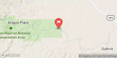
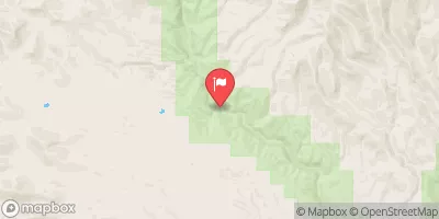
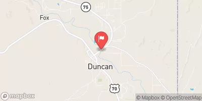
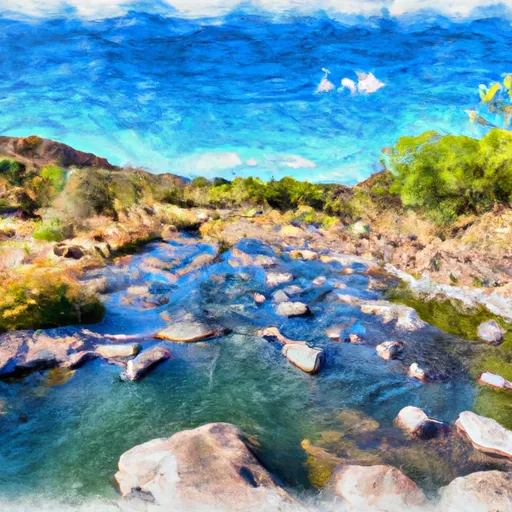 Gila River (Gila Box)
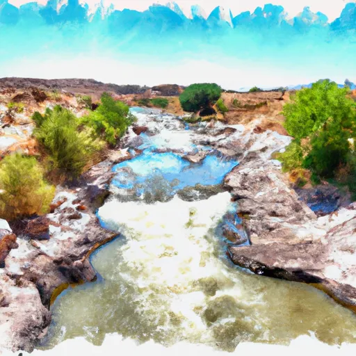 Lower San Francisco River