Summary
The ideal streamflow range for this river run is between 200 and 600 cfs. It has been rated as a Class III+ river, which means it has moderate rapids and requires some technical maneuvering. The segment mileage for this river run is 5.5 miles, which is a relatively short distance.
There are some specific river rapids and obstacles that paddlers should be aware of when tackling Tank Creek. One of the most prominent rapids is called "The Funnel," which is a narrow channel with a steep drop that requires precise navigation. Another challenging rapid is called "S-Turn," which is a series of tight turns that require good boat control. Additionally, paddlers should look out for low-hanging branches and overhanging rocks that can be hazardous.
There are specific regulations that apply to the Tank Creek area. Paddlers must have a permit to access the river, and there is a limit of 12 people per group. Additionally, visitors must pack out all trash and follow Leave No Trace principles to preserve the natural environment. Finally, paddlers should be aware that camping is not allowed along the river.
Overall, Tank Creek is a challenging but rewarding river run in Arizona that provides a great experience for intermediate to advanced paddlers.
°F
°F
mph
Wind
%
Humidity
15-Day Weather Outlook
River Run Details
| Last Updated | 2025-06-28 |
| River Levels | 1 cfs (2.45 ft) |
| Percent of Normal | 73% |
| Status | |
| Class Level | iii+ |
| Elevation | ft |
| Streamflow Discharge | cfs |
| Gauge Height | ft |
| Reporting Streamgage | USGS 09512500 |


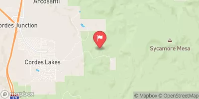
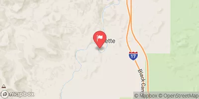
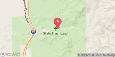
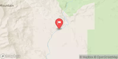
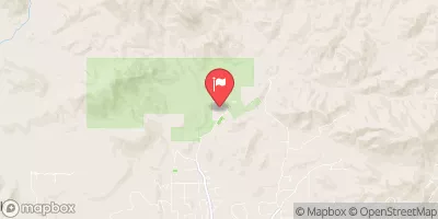
 Tank Creek
 Lousy Canyon Tributary
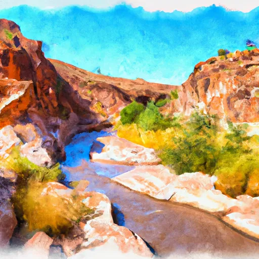 Lousy Canyon
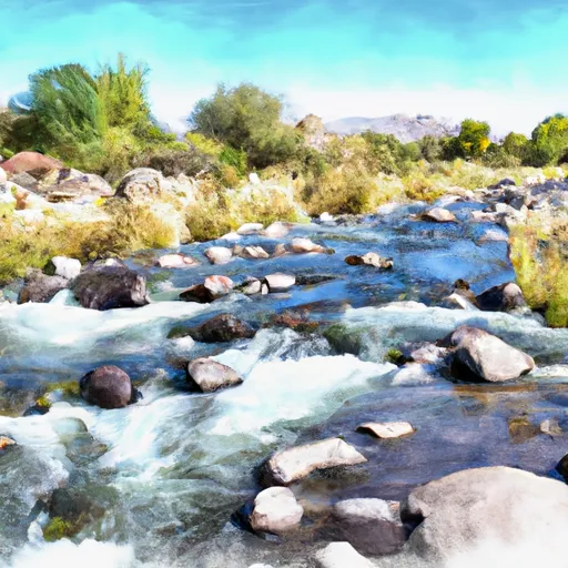 Bishop Creek
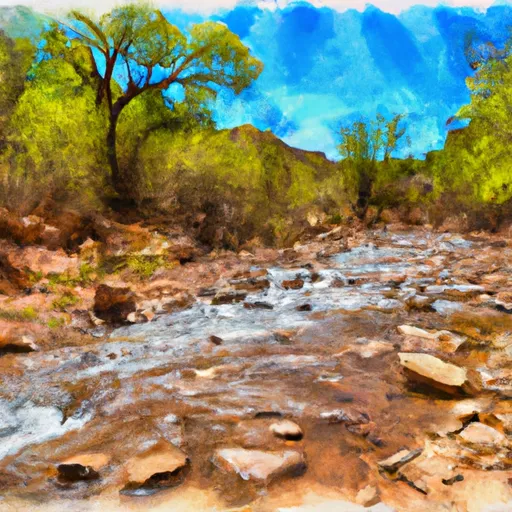 Larry Creek
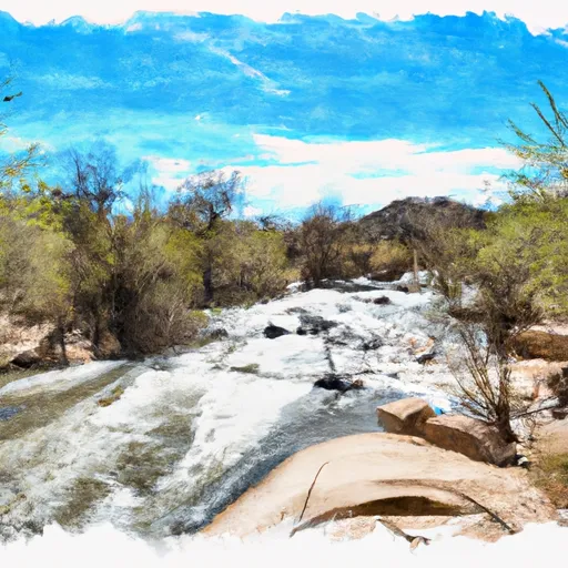 Agua Fria River