Summary
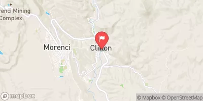
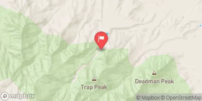
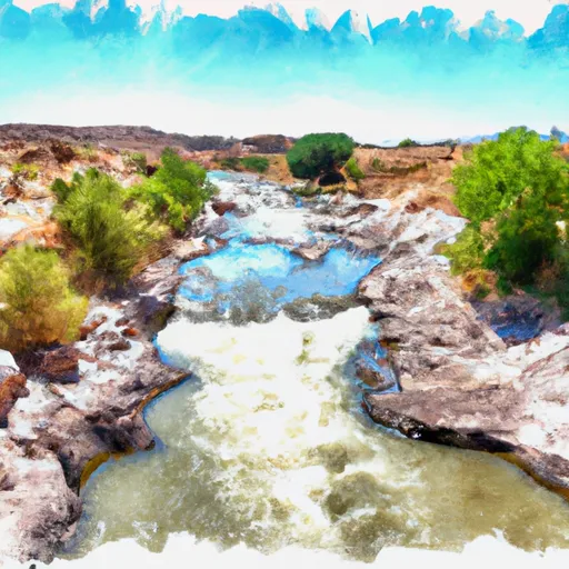
The ideal streamflow range for this river run is between 100 and 400 cubic feet per second (cfs). The river's class rating is a Class II-III, making it suitable for intermediate paddlers with some experience. The segment mileage for this river run is approximately 9 miles, starting at the Bonita Creek Campground and ending at the confluence with the San Carlos River.
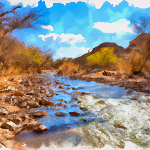
The river features several exciting rapids and obstacles that make for an exhilarating experience. The first significant rapid is known as the "Little Nasty," which is a Class III rapid that requires precise maneuvering to avoid the rocky outcroppings. Other notable rapids include the "Ledge Drop" and the "Widowmaker," both of which are Class II-III rapids.
There are specific regulations in place for this area to ensure the safety of all visitors. One of these regulations is that all visitors must wear a personal flotation device (PFD) while on the river. Additionally, there is a limit on the number of people allowed on the river at any given time to prevent overcrowding and ensure everyone's safety.
Overall, Bonita Creek is an exciting and challenging whitewater river run that attracts paddlers from all over the country. With its ideal streamflow range, class rating, and specific regulations, this river run is a must-visit for anyone looking for an exciting outdoor adventure.
°F
°F
mph
Wind
%
Humidity
15-Day Weather Outlook
River Run Details
| Last Updated | 2025-06-28 |
| River Levels | 35 cfs (2.22 ft) |
| Percent of Normal | 77% |
| Status | |
| Class Level | ii-iii |
| Elevation | ft |
| Streamflow Discharge | cfs |
| Gauge Height | ft |
| Reporting Streamgage | USGS 09442000 |
5-Day Hourly Forecast Detail
Nearby Streamflow Levels
Area Campgrounds
| Location | Reservations | Toilets |
|---|---|---|
 Riverview Campground
|
||
 Riverview
|
||
 Bonito
|


 Bonita Creek
 Gila River (Gila Box)
 Lower San Francisco River