Summary
The ideal streamflow range for this run is between 500-1500 cfs, with the best time to go being in the spring and fall. The river is rated as a Class II-III, making it suitable for intermediate paddlers.
The total segment mileage of the Whitewater River Run is approximately 30 miles, with the trip usually taking 1-2 days to complete. Along the way, paddlers will encounter several rapids and obstacles, including the Big Rock, Cowbell, and Devil's Den rapids. These rapids are challenging but manageable with proper experience and equipment.
In terms of regulations, all paddlers are required to wear a personal flotation device (PFD) and have a whistle on them. Additionally, there are restrictions on camping and campfires along the river, so it's important to plan ahead and follow all applicable rules and regulations.
Overall, the Whitewater River Run from Pine Bluff to Tahlequah Water Supply Plant is a thrilling adventure for intermediate paddlers seeking a challenge. With its ideal streamflow range, class rating, and specific rapids and obstacles, it's no wonder why this run is popular among whitewater enthusiasts in the region.
°F
°F
mph
Wind
%
Humidity
15-Day Weather Outlook
River Run Details
| Last Updated | 2026-01-29 |
| River Levels | 448 cfs (3.1 ft) |
| Percent of Normal | 32% |
| Status | |
| Class Level | ii-iii |
| Elevation | ft |
| Run Length | 30.0 Mi |
| Streamflow Discharge | cfs |
| Gauge Height | ft |
| Reporting Streamgage | USGS 07195430 |
5-Day Hourly Forecast Detail
Nearby Streamflow Levels
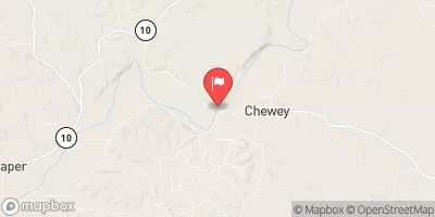 Illinois River At Chewey
|
316cfs |
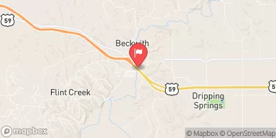 Flint Creek Near Kansas
|
33cfs |
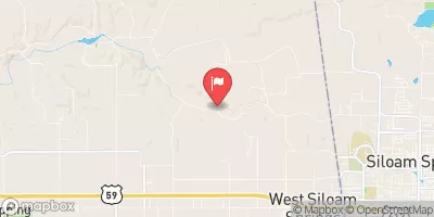 Sager Creek Near West Siloam Springs
|
9cfs |
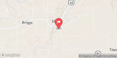 Baron Fork At Eldon
|
59cfs |
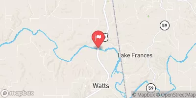 Illinois River Near Watts
|
269cfs |
 Flint Cr Nr W Siloam Sprgs Ok
|
7cfs |


 Pine Bluff
To Tahlequah Water Supply Plant