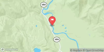
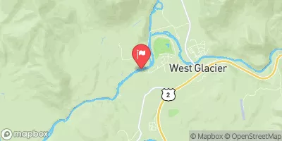
BIG CREEK TO GLACIER RIM

River Runs Kayaking Whitewater
November 23, 2024
Winter Weather Advisory
National Weather Service Until 2024-11-23T09:30:00-07:00
* WHAT...Mixed precipitation. Likelihood of developing or ongoing moderate impacts from from 1 to 3 inches in the valleys below 4000 feet is greater than 90 percent, and 3 to 6 inches of snow is greater than 80 percent east of West Glacier, and up to a 50 percent chance of isolated major impacts from 6 to 10 inches or more of snow. Ice accumulations around a light glaze. * WHERE...Highway 83 Bigfork to Swan Lake, Essex, Polebridge, Marias Pass, and Bad Rock Canyon. * WHEN...Until 5 PM MST Saturday. * IMPACTS...Travel could be very difficult to impossible. The hazardous conditions could impact the Friday evening commute, especially over higher passes.

SUMMARY

Last Updated 2023-06-13
River Levels 1380 cfs (4.76 ft)
Percent of Normal 35%
Optimal Range 1000-11000 cfs
Status Runnable
Class Level III- to III
Elevation 3,049 ft
Run Length 8.0 Mi
Streamflow Discharge 2590 cfs
Gauge Height 5.9 ft
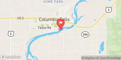
Reporting Streamgage S F Flathead River Nr Columbia Falls Mt
USGS 12362500

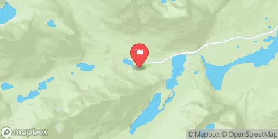
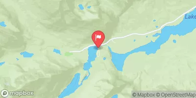
The Big Creek to Glacier Rim river run in Montana is a Class II-III river with exciting rapids, calm pools, and stunning views of the surrounding mountains. The river has several technical sections with obstacles like boulders, drops, and narrow channels, which require precise maneuvering. The best time to float this section is from May to July when the water levels are high, around 1,500-2,000 cfs. This river run is suitable for intermediate paddlers with previous whitewater experience. Overall, the Big Creek to Glacier Rim river run offers a thrilling adventure through a picturesque Montana landscape.

Weather Forecast

°F

°F

mph

Windspeed

%

Humidity


16-Day Long Term Forecast
       

Get Unparalelled Insights

Explore the Map

Whether you're planning your next ski trip or tracking stream flows for an upcoming rafting expedition, our map offers instant access to essential conditions, forecasts, and trends.

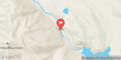
Watershed River Levels

3560

Cubic Feet Per Second

33

Cubic Feet Per Second

2

Cubic Feet Per Second

113

Cubic Feet Per Second

Point of Interest

Thompson River State Forest

Thompson River State Forest

Thompson River State Forest, located in the state of Montana, offers visitors a unique and diverse experience in a stunning natural setting. With its breathtaking landscapes, diverse wildlife, and numerous recreational opportunities, this forest is a must-visit destination for nature enthusiasts. One of the primary reasons to visit Thompson River State Forest is to immerse oneself in the beauty and tranquility of nature. The forest boasts a variety of ecosystems, including dense forests, crystal-clear rivers, and expansive meadows, providing a picturesque backdrop for outdoor activities. The area is also home to an abundance of wildlife, including elk, deer, moose, black ...