2026-02-24T05:00:00-07:00
...WINTRY MIX IN VALLEYS AND MOUNTAIN SNOW MONDAY THROUGH MONDAY NIGHT... .Snow levels will be borderline in northwest Montana valleys, and a wintry mix brings an increased risk for slick conditions during the Monday morning commute. Confidence is highest for accumulating snow across Lincoln County valley areas. Over mountain passes, snow will begin overnight with minor impacts, intensifying by Monday afternoon. Expect moderate travel impacts with slushy accumulation on I-90 and US-2 through Monday night. * WHAT...Snow expected. There is a likelihood of minor to moderate winter weather impacts. Total snow accumulations of 1 to 4 inches in the valleys and 6 to 9 inches from Essex to Marias Pass. Higher amounts are expected in the higher terrain. Winds gusting as high as 35 mph. * WHERE...Highway 83 Bigfork to Swan Lake, Essex, Glacier National Park, Marias Pass, Polebridge, and Bad Rock Canyon. * WHEN...From 5 AM Monday to 5 AM MST Tuesday. * IMPACTS...For MODERATE winter weather impacts, expect disruptions to normal activities. Hazardous traveling conditions. Use extra caution while driving. Closures and disruptions to infrastructure may occur.
Summary
The river has multiple Class III and IV rapids, including Bonecrusher and Jaws, which require technical maneuvering. The best time to float this section of water is in early summer when the snowmelt provides optimal flow, with a recommended CFS of 1,500-3,500. Obstacles include strainers, sweepers, and undercut rocks, which can be dangerous if not approached with caution. Overall, this river run provides a thrilling and challenging experience for those seeking an adrenaline rush.
°F
°F
mph
Wind
%
Humidity
15-Day Weather Outlook
River Run Details
| Last Updated | 2023-06-13 |
| River Levels | 4590 cfs (7.31 ft) |
| Percent of Normal | 35% |
| Optimal Range | 1000-11000 cfs |
| Status | Runnable |
| Class Level | II |
| Elevation | 3,049 ft |
| Run Length | 5.0 Mi |
| Streamflow Discharge | 1540 cfs |
| Gauge Height | 4.9 ft |
| Reporting Streamgage | USGS 12362500 |


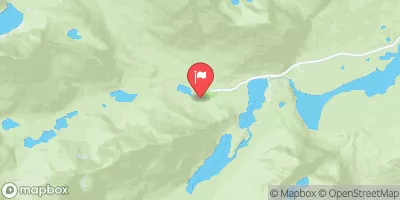
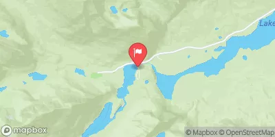
 Apgar - Glacier National Park
 Fish Creek - Glacier National Park
 McDonald Lake Campground
 MCDONALD LAKE
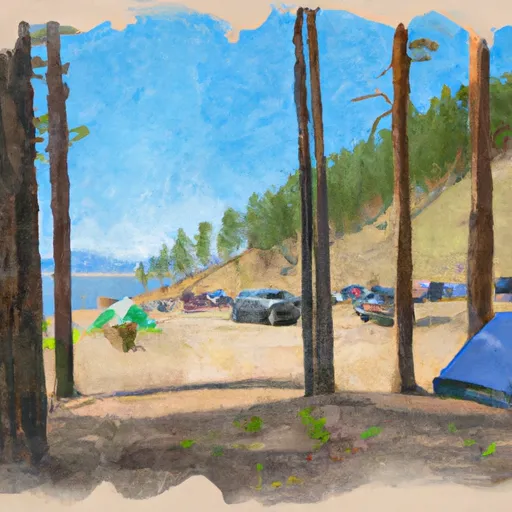 Whitefish State Park
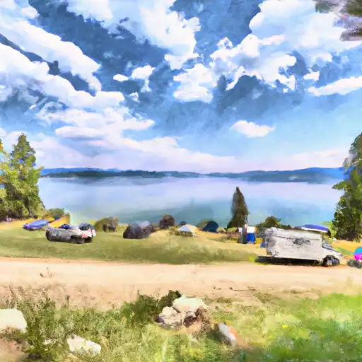 Whitefish Lake State Park
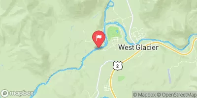
 Apgar Flats Horse West Glacier
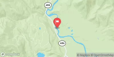
 Glacier RIm to Blankenship Bridge and Confluence
 West Glacier to Blankenship Bridge
 Big Creek to Glacier Rim