Headwaters In Sec 28, T18n, R8w To One-Third Mile Beyond Snow Mt. Wilderness Boundary At Private Property Boundary Near Paradise Creek Paddle Report
Last Updated: 2026-01-26
The Headwaters section of the Whitewater River in California is a popular spot for paddlers with a Class III-IV rating and a stream flow range between 300-600 cfs.
Summary
This 7.5-mile segment begins in Section 28, T18N, R8W and ends at the private property boundary near Paradise Creek, one-third mile beyond the Snow Mt. Wilderness boundary. The river is characterized by several challenging rapids, such as The Chute, Wagon Wheel, and World Famous Toilet Bowl. Paddlers must exercise caution and have advanced skills to navigate these sections safely.
In terms of regulations, the Headwaters section is managed by the Bureau of Land Management (BLM) and requires a permit to float. Camping is allowed at designated sites and campfires are permitted only in established fire rings. Additionally, visitors must pack out all trash and follow Leave No Trace principles to help preserve the area's natural beauty.
°F
°F
mph
Wind
%
Humidity
15-Day Weather Outlook
River Run Details
| Last Updated | 2026-01-26 |
| River Levels | 93 cfs (6.19 ft) |
| Percent of Normal | 30% |
| Status | |
| Class Level | iii-iv |
| Elevation | ft |
| Streamflow Discharge | cfs |
| Gauge Height | ft |
| Reporting Streamgage | USGS 11461500 |
5-Day Hourly Forecast Detail
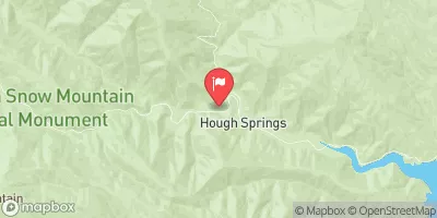
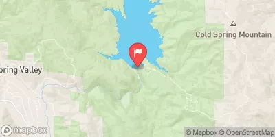
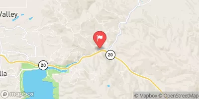
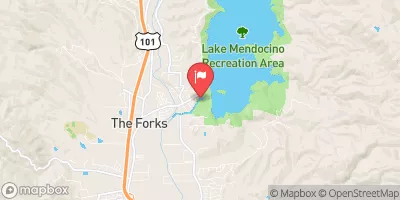
Nearby Streamflow Levels
Area Campgrounds
| Location | Reservations | Toilets |
|---|---|---|
 River Spot
|
||
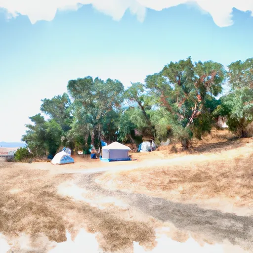 Davis Flat Campground
|
||
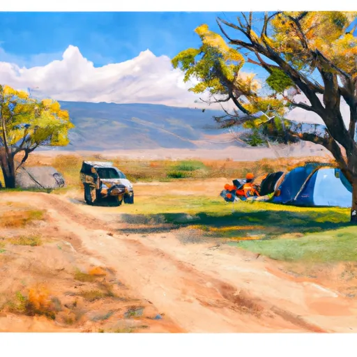 Davis Flat
|
||
 Fouts
Fouts
|
||
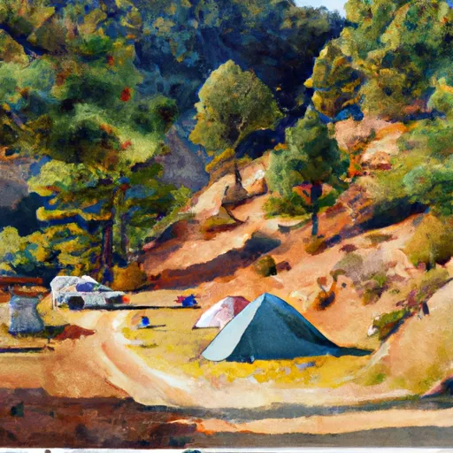 Fouts Campground
|
||
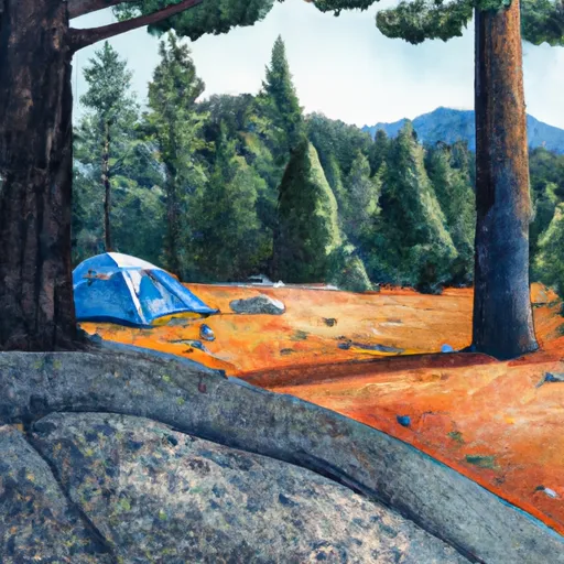 Grey Pine
|


 Headwaters In Sec 28, T18N, R8W To One-Third Mile Beyond Snow Mt. Wilderness Boundary At Private Property Boundary Near Paradise Creek