2026-02-21T10:00:00-08:00
* WHAT...Low temperatures from to ten degrees with isolated locations reaching 5 degrees below zero above 6,000 feet of the Sierra Nevada. Low temperatures of 10 to 20 degrees in the Sierra Nevada below 6,000 feet into the adjacent foothills. * WHERE...A portion of central California. * WHEN...Until 10 AM PST Saturday. * IMPACTS...Dangerous frostbite possible on unprotected skin. Wind chills reaching well below zero degrees on Friday morning.
Summary
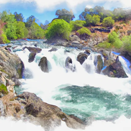
The ideal streamflow range for this section of the river is between 500 and 2000 cfs. The run is rated as Class III-IV, making it suitable for intermediate to advanced paddlers. The segment mileage of this section is approximately 7.5 miles, with a drop of 1800 feet in elevation.
The river is known for its technical rapids, including the popular "Meatgrinder" rapid, which is a Class IV drop with a large boulder in the center of the channel. Other notable rapids include "Pinball" and "Dinky Creek Falls." There are also several sections of calm water that allow paddlers to catch their breath before the next rapid.
There are specific regulations to the area, including a permit requirement for all boaters. The number of permits issued is limited, and they are typically issued on a first-come, first-served basis. Additionally, all boaters must wear a personal flotation device and carry a whistle.
Overall, the Whitewater River Run from Rainbow Falls to the National Monument Boundary is a challenging and exciting paddle for experienced boaters. Proper planning and adherence to regulations are essential for a safe and enjoyable trip.
°F
°F
mph
Wind
%
Humidity
15-Day Weather Outlook
River Run Details
| Last Updated | 2026-02-07 |
| River Levels | 886 cfs (5.98 ft) |
| Percent of Normal | 132% |
| Status | |
| Class Level | iii-iv |
| Elevation | ft |
| Run Length | 10.0 Mi |
| Streamflow Discharge | cfs |
| Gauge Height | ft |
| Reporting Streamgage | USGS 11224000 |
5-Day Hourly Forecast Detail
Nearby Streamflow Levels
Area Campgrounds
| Location | Reservations | Toilets |
|---|---|---|
 Reds Meadow
|
||
 Reds Meadow Campground
|
||
 Reds Meadow Campground (Seasonal)
|
||
 Minaret Falls Campground (Seasonal)
|
||
 Minaret Falls
|
||
 Minaret Falls Campground
|
River Runs
-
 Rainbow Falls To National Monument Boundary
-
 Soda Springs Footbridge In Devils Postpile National Monument To Rainbow Falls
-
 Agnew Meadows To Soda Springs Footbridge
-
 National Monument Boundary To Soda Springs Footbridge In Devils Postpile National Monument
-
 Headwaters At Thousand Island Lake To Agnew Meadows
-
 Rainbow Falls To Confluence With North Fork San Joaquin River


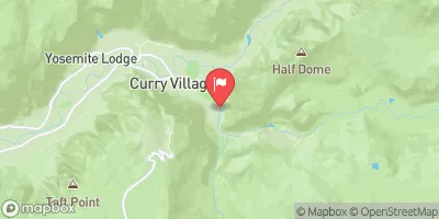
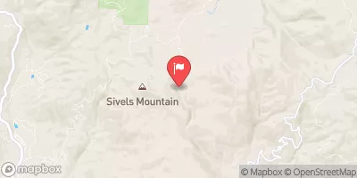
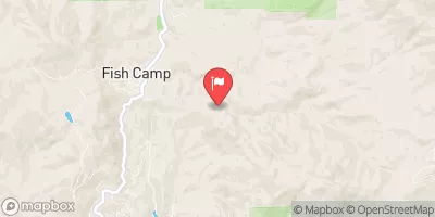
 Owens River Headwaters Wilderness
 Mammoth Creek Community Park
 Trails End Park
 Lake Mary Fishing Site
 Twin Lakes (Mammoth Lakes)
 Lake Mary
 Deer Lakes
 Ediza Lake