Summary
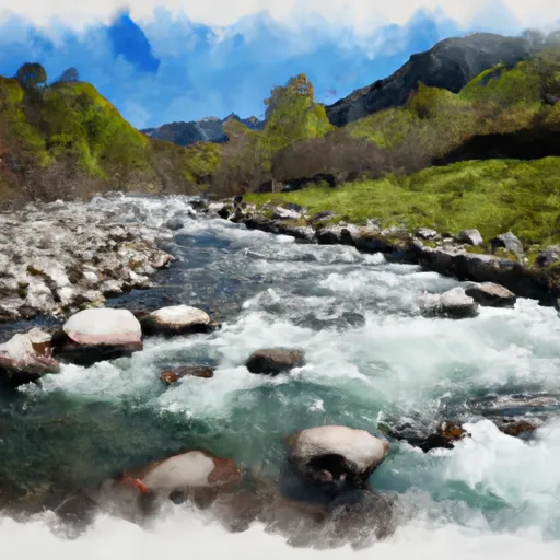
The ideal streamflow range for this section is between 400 and 700 cubic feet per second (cfs) during the summer months. This segment is rated as a Class V-V+ run due to its steep gradient, continuous rapids, and complex obstacles.
The segment mileage is approximately 9.5 miles, starting at the NF Boundary and ending at Camp Wishon. Some of the significant river rapids and obstacles include S-turn, Tunnel of Love, Shake and Bake, and Suicide Falls. These rapids require technical paddling skills and precise navigation to avoid hazards.
The National Forest Service has specific regulations for the area, including mandatory use of a personal flotation device (PFD) and helmets for all paddlers on the river. Additionally, camping is only allowed in designated areas, and fires are prohibited.
Overall, the Whitewater River Run from NF Boundary to Camp Wishon is a thrilling experience for advanced paddlers. It is essential to check the streamflow conditions before embarking on this adventure and to follow all regulations to ensure safety and environmental protection.
°F
°F
mph
Wind
%
Humidity
15-Day Weather Outlook
River Run Details
| Last Updated | 2026-02-07 |
| River Levels | 43 cfs (3.39 ft) |
| Percent of Normal | 88% |
| Status | |
| Class Level | v-v+ |
| Elevation | ft |
| Streamflow Discharge | cfs |
| Gauge Height | ft |
| Reporting Streamgage | USGS 11203580 |
5-Day Hourly Forecast Detail
Area Campgrounds
| Location | Reservations | Toilets |
|---|---|---|
 Wishon
|
||
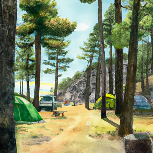 Wishon Campground
|
||
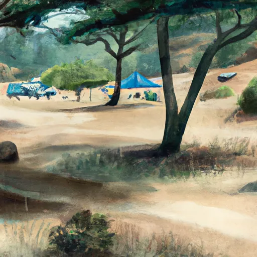 Balch Park
|
||
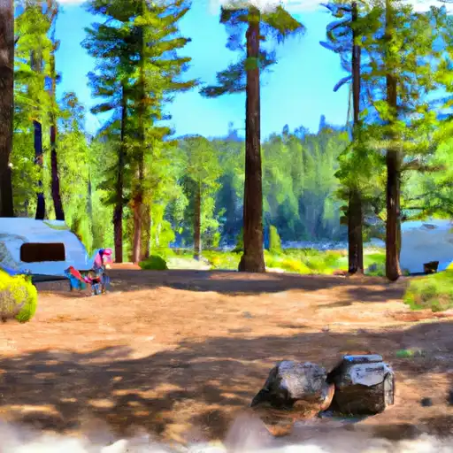 Hedrick Pond - State Forest
|
||
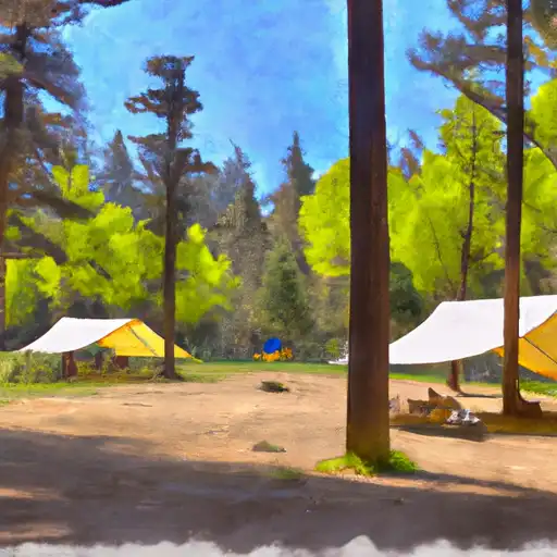 Moses Gulch - State Forest
|
||
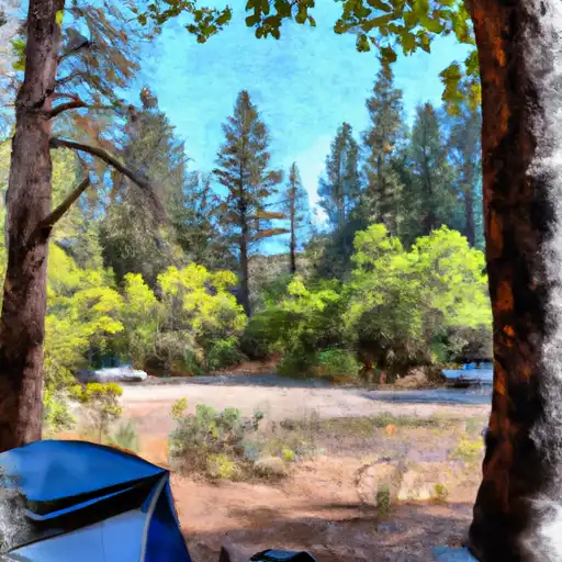 Frazier Mill - State Forest
|
River Runs
-
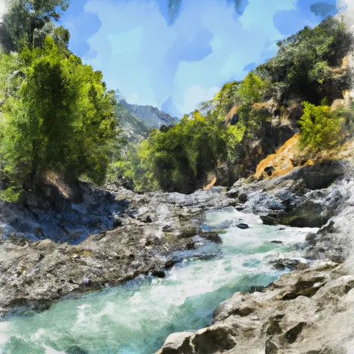 Nf Boundary To Camp Wishon
-
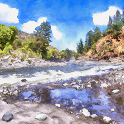 Camp Wishon To Confluence With Middle Fork Tule River
-
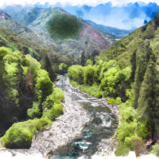 Nf Boundary With Sequoia Np To Nf Boundary
-
 Nf Boundary To Table Meadows Creek
-
 Outlet Of Green Meadows North Of The Windy Gap And Windy Ridges (Boundary Extend 0.25 Mile On Each Side Of River) To Bridge Above South Fork Campground
-
 Table Meadow Creek To Kern River


 Kings Canyon National Park - Big Stump Entrance
 Sequoia National Park
 John Krebs Wilderness (draft boundary)
 Blue Ridge National Wildlife Refuge