Summary
The ideal streamflow range for the area is between 400 and 1000 cfs. The river is classified as Class III to IV, making it a challenging run for experienced kayakers and rafters.
There are several notable rapids and obstacles along the river run, including Hell Hole, Chinese Wall, and the infamous Suckhole. These features require a high level of skill and experience to navigate safely. It is important to note that the Whitewater River Run is not recommended for beginners.
To ensure the safety of all visitors, there are specific regulations in place for the area. A permit is required to enter the Marble Mountains Wilderness, and visitors must adhere to Leave No Trace principles while on the river. Additionally, groups are limited to a maximum of 15 people per day.
Overall, the Whitewater River Run is a challenging and exhilarating experience for experienced kayakers and rafters. However, it is important to approach the area with caution and follow all regulations to ensure a safe and enjoyable trip.
°F
°F
mph
Wind
%
Humidity
15-Day Weather Outlook
River Run Details
| Last Updated | 2026-02-07 |
| River Levels | 859 cfs (7.1 ft) |
| Percent of Normal | 44% |
| Status | |
| Class Level | iii |
| Elevation | ft |
| Streamflow Discharge | cfs |
| Gauge Height | ft |
| Reporting Streamgage | USGS 11519500 |
5-Day Hourly Forecast Detail
Nearby Streamflow Levels
 Scott R Nr Fort Jones Ca
|
490cfs |
 Salmon R A Somes Bar Ca
|
1150cfs |
 Klamath R A Orleans
|
5210cfs |
 Trinity R Ab Coffee C Nr Trinity Ctr Ca
|
252cfs |
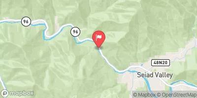 Klamath R Nr Seiad Valley Ca
|
2280cfs |
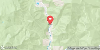 Indian C Nr Happy Camp Ca
|
282cfs |
Area Campgrounds
| Location | Reservations | Toilets |
|---|---|---|
 Mule Bridge - horse
|
||
 Mulebridge Campground
|
||
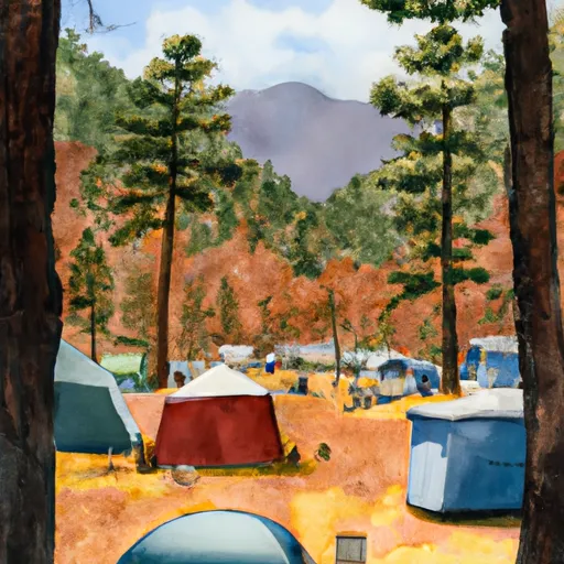 Idlewild Campground
|
||
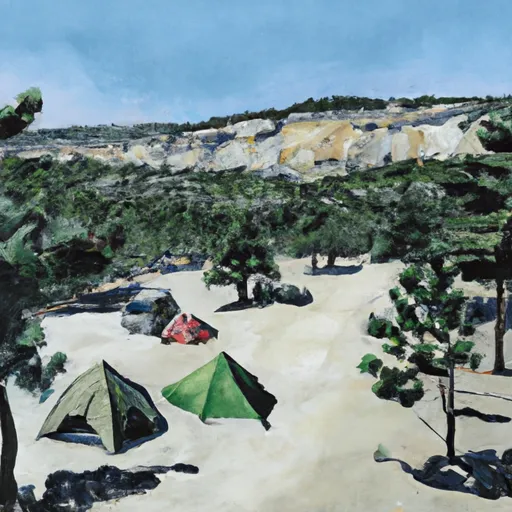 Ananias Camp
|
||
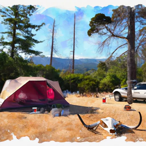 Bear Skull Camp
|
||
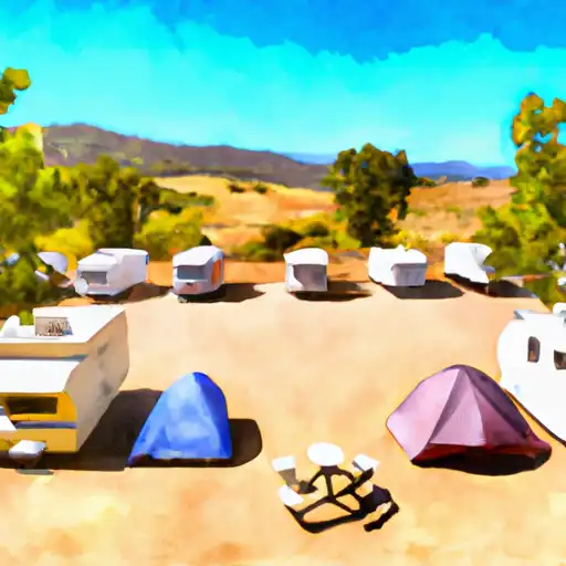 Red Bank
|


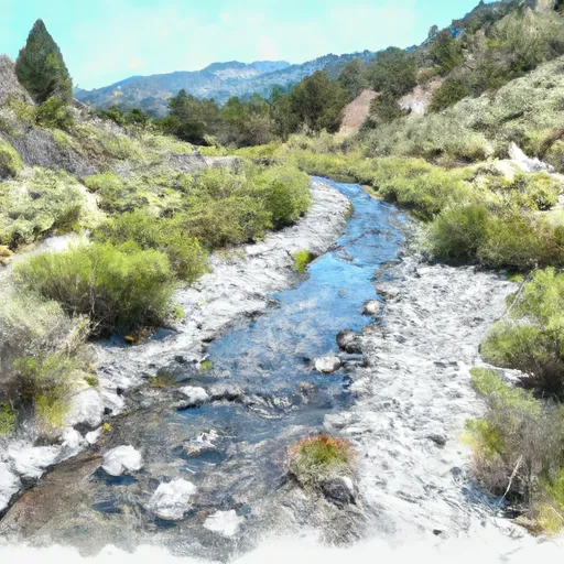 Headwaters In Marble Mountains Wilderness To Pre-1984 Wilderness Boundary
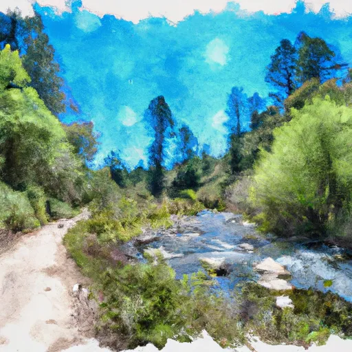 Wilderness Boundary To Forest Road 40N54
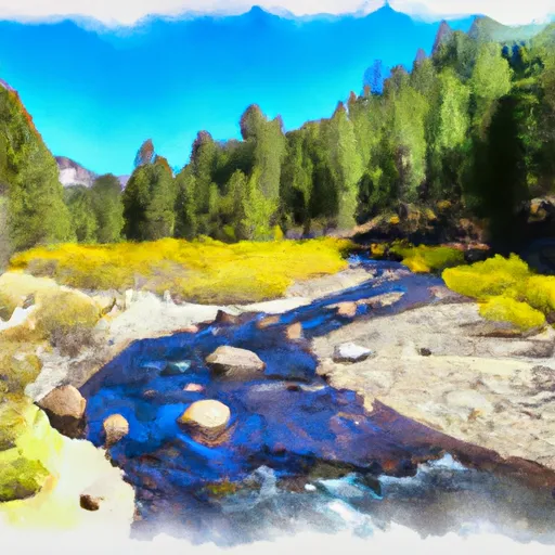 Headwaters In Russian Wilderness To Wilderness Boundary
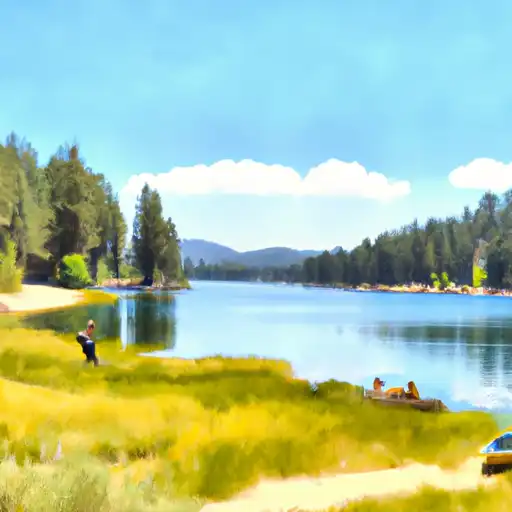 Hancock Lake
 Cliff Lake
 Campbell Lake
 Big Blue Lake
 Calf Lake