Summary
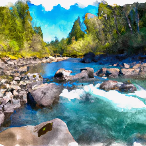
Based on the latest information available, the French Gulch boat ramp is located in Josephine County, Oregon, at the coordinates provided. It is a concrete boat ramp that is 24 feet wide and provides access to the Rogue River. The Rogue River is a popular destination for recreational boaters, and a variety of watercraft are permitted on the water, including motorized boats, kayaks, and rafts.
The French Gulch boat ramp is managed by the Oregon Department of Fish and Wildlife (ODFW) and is open year-round, 24 hours a day. There are no fees to use the ramp, and there are no facilities on-site, so boaters should come prepared with their own equipment and supplies.
Overall, the French Gulch boat ramp is a well-maintained and convenient access point for boaters looking to explore the beautiful Rogue River in Oregon.
°F
°F
mph
Wind
%
Humidity
15-Day Weather Outlook
Nearby Boat Launches
5-Day Hourly Forecast Detail
Area Streamflow Levels
| APPLEGATE RIVER NEAR COPPER | 177cfs |
| STAR GULCH NEAR RUCH | 1cfs |
| APPLEGATE RIVER NEAR APPLEGATE | 211cfs |
| KLAMATH R NR SEIAD VALLEY CA | 5840cfs |
| INDIAN C NR HAPPY CAMP CA | 214cfs |
| SUCKER CR BL LT GRAYBACK CR NR HOLLAND | 95cfs |

 French Gulch
 Applegate River