Summary
The ideal streamflow range for this area is between 300-1000 cfs, which creates a moderate to difficult class III-V rating for the river. The segment mileage for this area is around 7 miles, and there are several specific rapids and obstacles within this stretch. These include the "Gorge," "Fist," and "Meatgrinder" rapids, as well as several large boulders and rock formations to navigate around.
There are specific regulations in place for this area, which are enforced to ensure the safety of all rafters and maintain the natural beauty of the surrounding environment. These include a limit on the number of people per raft, required use of helmets and personal flotation devices, and restrictions on camping and fires in the area.
Overall, the Whitewater River Run Headwaters Tributaries to Research Natural Area Boundary offers a thrilling adventure for experienced rafters, with challenging rapids and stunning scenery. It is important to follow all regulations and safety precautions to ensure a safe and enjoyable experience on the river.
°F
°F
mph
Wind
%
Humidity
15-Day Weather Outlook
River Run Details
| Last Updated | 2026-02-07 |
| River Levels | 385 cfs (3.67 ft) |
| Percent of Normal | 138% |
| Status | |
| Class Level | iii-v |
| Elevation | ft |
| Streamflow Discharge | cfs |
| Gauge Height | ft |
| Reporting Streamgage | USGS 10290500 |
5-Day Hourly Forecast Detail
Nearby Streamflow Levels
Area Campgrounds
| Location | Reservations | Toilets |
|---|---|---|
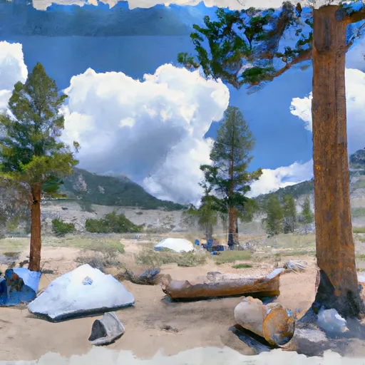 Saddlebag Lake Trailhead Group Campground
|
||
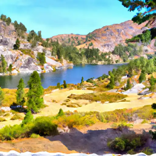 Saddlebag Lake
|
||
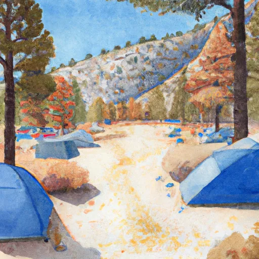 Saddlebag Lake Campground
|
||
 Sawmill Walk-in Campground
|
||
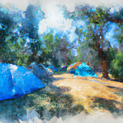 Junction Campground
|
||
 Junction
|


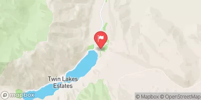
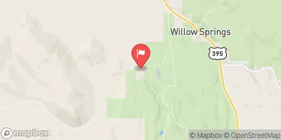
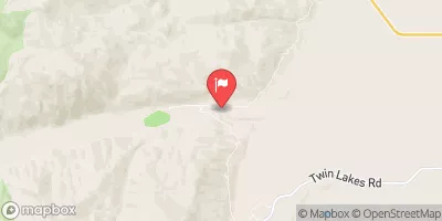
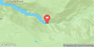
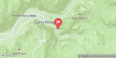
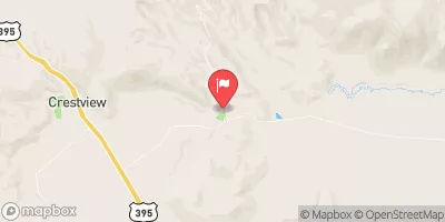
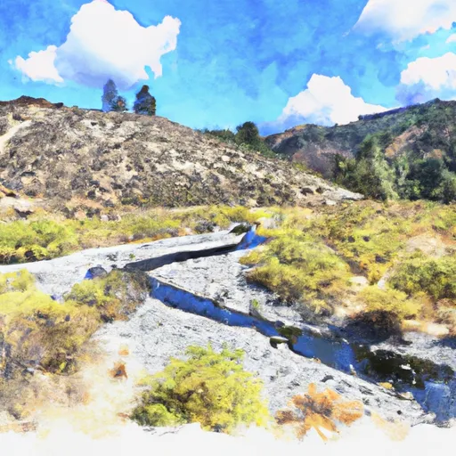 Headwaters Tributaries To Research Natural Area Boundary
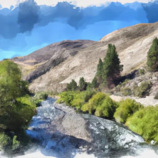 Saddlebag Lake Rna Boundary To State Highway 120
 Headwaters To Wilderness Boundary
 Wilderness Boundary To Private Property
 Private Property To Lundy Lake
 Alpine Lake
 Lundy Lake
 Virginia Lakes
 Evelyn Lake
 Green Creek