Summary
The ideal streamflow range for this run is between 500 and 1,500 cfs. The class rating for this section of the river is class III to IV, with some sections reaching class V during high water.
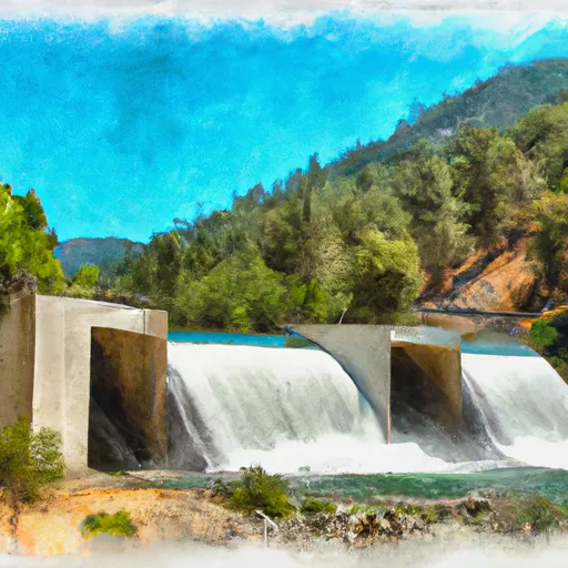
This section of the river covers approximately 8 miles, with several challenging rapids and obstacles. One of the most notable rapids is "Chamberlain Falls," which is a class IV rapid that features a steep chute followed by a large drop. Other rapids include "Meatgrinder" and "Limestone Rapid," both of which require skillful maneuvering and precise line choices.
It's important to note that this section of the river is heavily regulated, primarily due to the presence of endangered species such as steelhead trout. The California Department of Fish and Wildlife has established strict regulations regarding fishing and boating in the area, including a prohibition on the use of lead tackle.
Overall, the Gold Lake Dam to Falls section of the Whitewater River provides a challenging and exciting adventure for experienced whitewater enthusiasts. However, it's important to follow all regulations and safety guidelines to ensure a safe and enjoyable experience.
°F
°F
mph
Wind
%
Humidity
15-Day Weather Outlook
River Run Details
| Last Updated | 2026-02-07 |
| River Levels | 2740 cfs (7.21 ft) |
| Percent of Normal | 75% |
| Status | |
| Class Level | iii-v |
| Elevation | ft |
| Streamflow Discharge | cfs |
| Gauge Height | ft |
| Reporting Streamgage | USGS 11413000 |
5-Day Hourly Forecast Detail
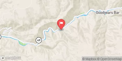
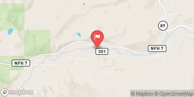
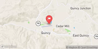
Nearby Streamflow Levels
Area Campgrounds
| Location | Reservations | Toilets |
|---|---|---|
 Lakes Basin Group Campground
|
||
 Lakes Basin Campground
|
||
 Lakes Basin .
|
||
 Gold Lake 4x4
|
||
 Haven Lake Campground
|
||
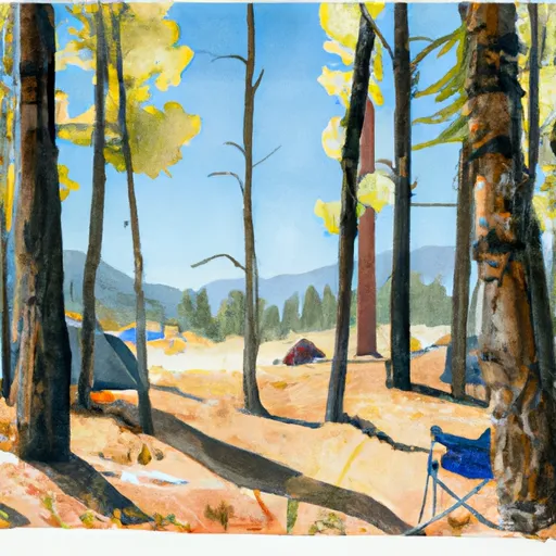 Snag Lake Campground
|


 Gold Lake Dam To Falls
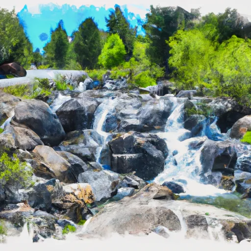 Falls To Gold Lake Highway
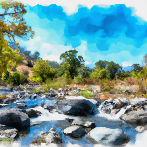 Little Jamison Creek Headwaters To State Park
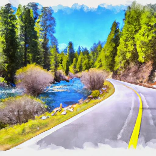 Gold Lake Highway To Nf Boundary
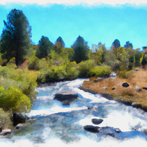 Headwaters To State Park
 State Park To Confluence With Middle Fork Feather Wsr