None
ESFMFR A moderate atmospheric river will likely bring periods of moderate to heavy rainfall later this weekend into early next week. The first frontal system is forecast to arrive late Saturday night into Sunday with multiple waves of precipitation continuing Sunday night through Monday, then a Pineapple Express Monday night into Tuesday. Preliminary estimates are showing widespread amounts of 4 to 6 inches along the coast with locally 8 inches in the favored coast ranges of Curry County. Amounts of 3 to 5 inches are possible in the Mount Shasta region and also other favored areas of western Siskiyou County. Small streams and creeks are likely to rise rapidly during this event with nuisance flooding and ponding of water on roadways during periods of heavy rain. Significant rises on main stem rivers and flashier creeks are also expected. Given that rivers are still running fairly low for this time of year, river flooding potential is a bit lower than usual, but there is at least a low probability of some flooding, especially in the Coquille Basin. The warm rain expected MOnday night into Tuesday, with snow levels well above 7000 feet, will cause concern for heavy rain to combine with snowmelt, which would lead to even higher rises. While the exact scenario for the heavy rainfall and potential flooding remains uncertain, we will continue to monitor the forecasts and update accordingly. Flood Watches may be issued by the National Weather Service if this situation worsens.
Summary
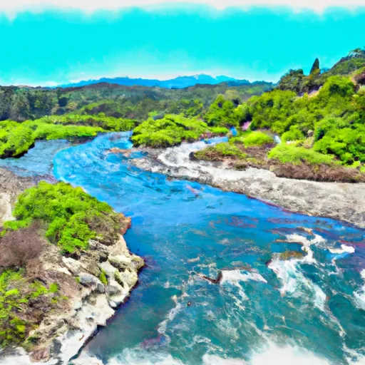
The ideal streamflow range for this run is between 800 and 2000 cubic feet per second (cfs). The class rating for this section of the river varies from class III to class V, depending on the water level.
The total segment mileage for this river run is approximately 5.5 miles. This run is known for its exhilarating rapids, such as "The Chute," "S-turn," and "Butt Plug." "The Chute" is a class V rapid that requires technical maneuvering and precise navigation. "S-turn" is a class IV rapid that features a series of tight turns and drops. "Butt Plug" is a class III rapid that requires careful attention to avoid getting stuck.
There are specific regulations in place for this area, including a permit system for commercial outfitters. Private boaters are also required to obtain a permit, which can be obtained online or by phone. Additionally, there are restrictions on camping and campfires in the area, so visitors should be aware of these regulations before planning their trip.
Overall, the Whitewater River run from Confluence With Fish Creek To Confluence With Rancheria Creek is a challenging and exciting river run that offers a variety of rapids and obstacles for experienced whitewater enthusiasts. With the proper permits and knowledge of regulations, visitors can enjoy this beautiful and thrilling section of the river safely.
°F
°F
mph
Wind
%
Humidity
15-Day Weather Outlook
River Run Details
| Last Updated | 2026-02-07 |
| River Levels | 3160 cfs (4.3 ft) |
| Percent of Normal | 55% |
| Status | |
| Class Level | iii-v |
| Elevation | ft |
| Streamflow Discharge | cfs |
| Gauge Height | ft |
| Reporting Streamgage | USGS 11520500 |
5-Day Hourly Forecast Detail
Nearby Streamflow Levels
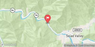 Klamath R Nr Seiad Valley Ca
|
2080cfs |
 Indian C Nr Happy Camp Ca
|
205cfs |
 Scott R Nr Fort Jones Ca
|
412cfs |
 Applegate River Near Copper
|
175cfs |
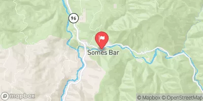 Salmon R A Somes Bar Ca
|
1000cfs |
 Star Gulch Near Ruch
|
1cfs |
Area Campgrounds
| Location | Reservations | Toilets |
|---|---|---|
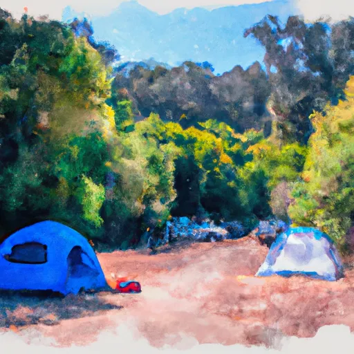 Grider Creek Campground
|
||
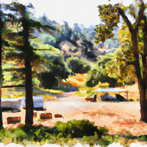 Grider Creek - horse
|
||
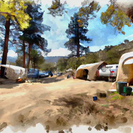 Sulphur Springs
|
||
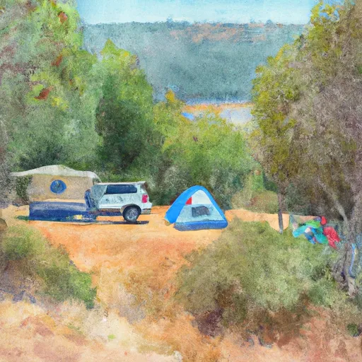 Sulphur Springs Campground
|
||
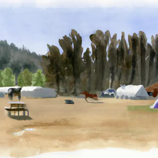 Norcross - horse
|
||
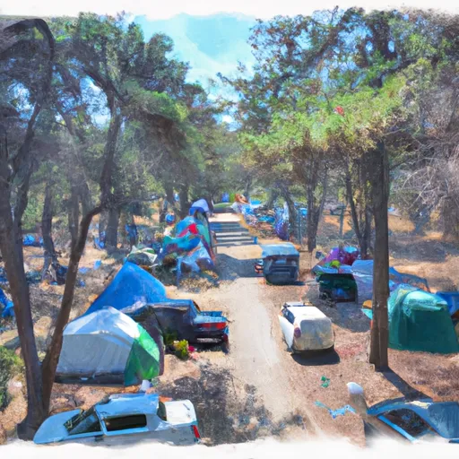 Norcross Campground
|
River Runs
-
 Confluence With Fish Creek To Confluence With Rancheria Creek
-
 Headwaters In Marble Mtn. Wilderness To Confluence With Fish Creek
-
 Confluence With Rancheria Creek To Forest Road 46N24X
-
 Headwaters In Marble Mtn. Wilderness To Wilderness Boundary
-
 Bridge In Sec 19 To Bridge In Sec 25, T16N, R7E
-
 Confluence With Bear Creek To Bridge In Sec 19, T15N, R8E


 M. Gordons Ferry River Access