Summary
The ideal streamflow range for this river run is between 500 and 1,500 cubic feet per second (cfs), which typically occurs in the spring and early summer months. This section of the river is rated as a Class IV-V, meaning it is suitable for experienced paddlers only. The segment mileage for this run is approximately 8 miles, starting at the Commanche Campsite and ending at the Middle Fork Trailhead.
The Middle Fork of the Whitewater River is known for its challenging rapids and obstacles, including Hell's Corner, which features a steep, narrow chute with a tight turn at the bottom. Other notable rapids on this run include Shotgun, which requires precise navigation through a series of boulder gardens, and Pinball, which features a complex series of rocks and drops that require quick thinking and precise paddling.
The Middle Fork of the Whitewater River is located within the San Bernardino National Forest and is subject to specific regulations. Visitors to the area must obtain a permit to enter the wilderness and are required to follow all Leave No Trace principles. Additionally, campfires are not permitted within 500 feet of the river and visitors are required to pack out all trash and human waste. Overall, the Middle Fork of the Whitewater River is a challenging and exciting run for experienced paddlers, but it requires careful planning and adherence to regulations to ensure a safe and enjoyable trip.
°F
°F
mph
Wind
%
Humidity
15-Day Weather Outlook
River Run Details
| Last Updated | 2026-01-26 |
| River Levels | 10 cfs (4.38 ft) |
| Percent of Normal | 492% |
| Status | |
| Class Level | iv-v |
| Elevation | ft |
| Streamflow Discharge | cfs |
| Gauge Height | ft |
| Reporting Streamgage | USGS 11063510 |
5-Day Hourly Forecast Detail
Nearby Streamflow Levels
Area Campgrounds
| Location | Reservations | Toilets |
|---|---|---|
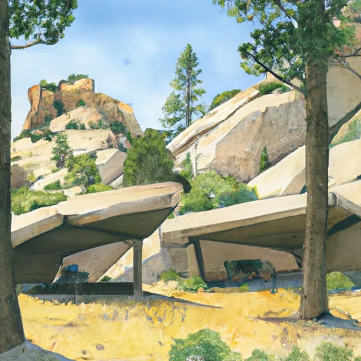 Stonehouse
|
||
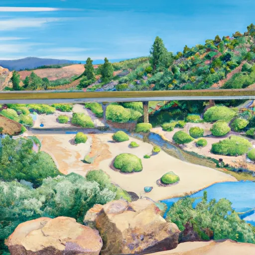 Third Stream Crossing
|
||
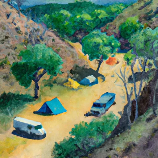 Commanche
|
||
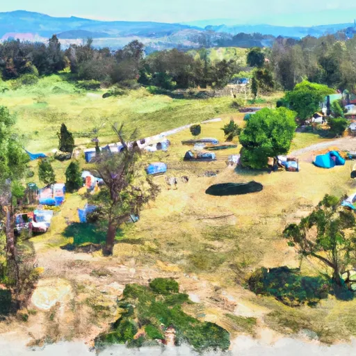 Bonita Ranch Campground
|
||
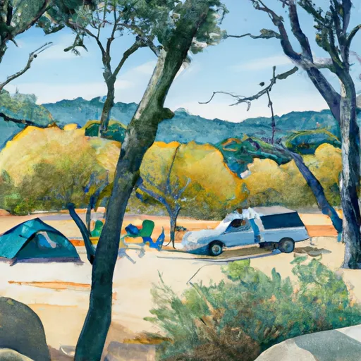 Applewhite Campground
|
||
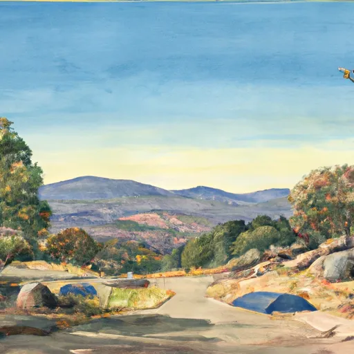 Applewhite
|


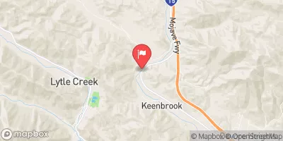
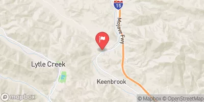
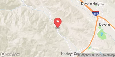
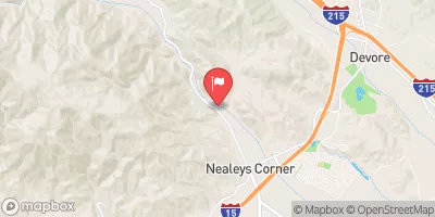
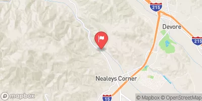
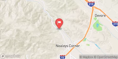
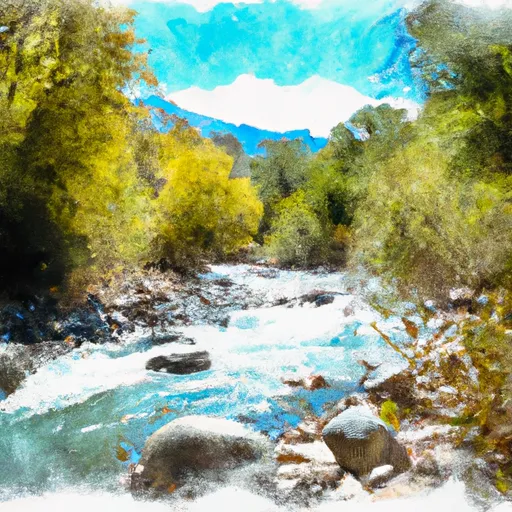 Middle Fork - Commanche Campsite To Middle Fork Trailhead
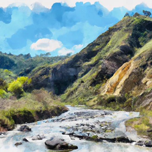 Laurel Gulch To Confluence With Mineo Canyon (Se 1/4, Sw 1/4, Sec 17, T2N, R8W)
 Hunters Ridge Park
 Day Creek Park
 San Sevaine Park
 Etiwanda Creek Community Park
 Legacy Park