Summary
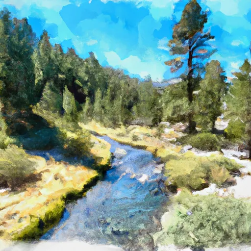
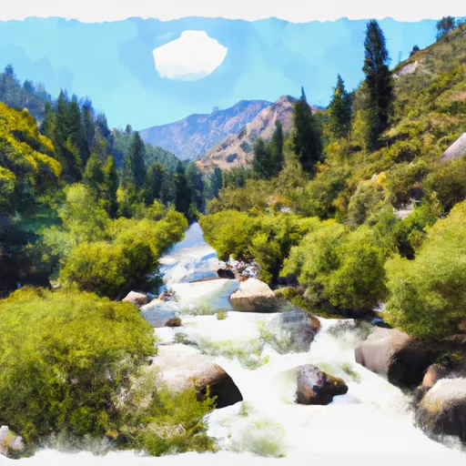
The run covers a distance of approximately 7 miles and is known for its technical rapids. The first mile of the run is relatively calm, but the river then picks up pace and features several challenging rapids, including Sluice Box, The Maze, and the infamous Toilet Bowl.
Due to the challenging nature of the Whitewater River Run, there are specific regulations in place to ensure the safety of all visitors. Rafting and kayaking are only allowed during the spring and early summer months when the water levels are suitable. The use of personal flotation devices (PFDs) is mandatory, and all boaters are required to have a permit to use the river.
In addition to the regulations, there are several obstacles to be aware of on the Whitewater River Run. The Toilet Bowl, in particular, is a dangerous rapid that has claimed several lives over the years. Visitors are advised to exercise extreme caution and avoid this rapid if they are not experienced in navigating Class V rapids.
Overall, the Whitewater River Run Tributary Headwaters to Wilderness Boundary is a challenging and exciting river run that requires skill and experience to navigate safely. Visitors should be aware of the recommended streamflow range, class rating, segment mileage, specific river rapids/obstacles, and specific regulations to the area to ensure a safe and enjoyable trip.
°F
°F
mph
Wind
%
Humidity
15-Day Weather Outlook
River Run Details
| Last Updated | 2026-02-07 |
| River Levels | 128 cfs (8.2 ft) |
| Percent of Normal | 84% |
| Status | |
| Class Level | iv-v |
| Elevation | ft |
| Streamflow Discharge | cfs |
| Gauge Height | ft |
| Reporting Streamgage | USGS 11206820 |
5-Day Hourly Forecast Detail
Nearby Streamflow Levels
Area Campgrounds
| Location | Reservations | Toilets |
|---|---|---|
 Mt. Whitney Trailhead Campground
|
||
 Ravine Campground
|
||
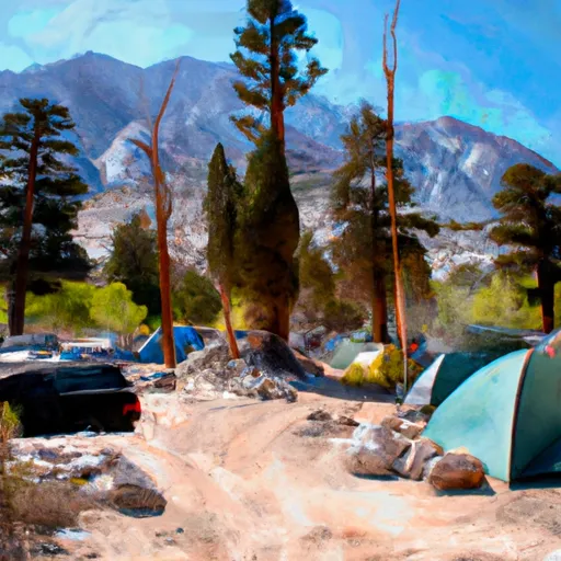 Whitney Portal Group Campground
|
||
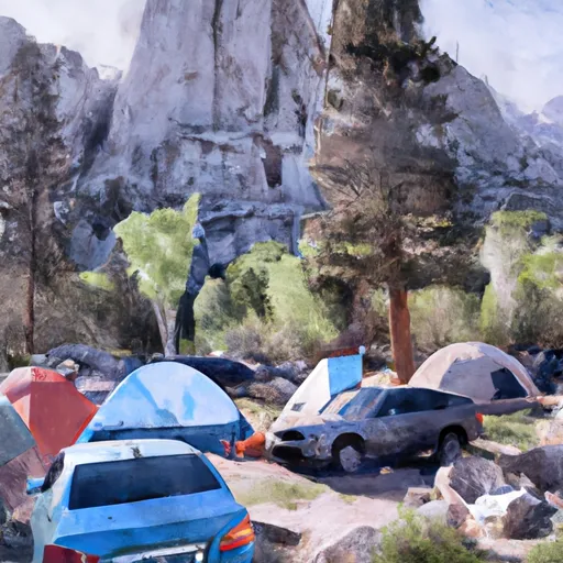 Whitney Portal Campground
|
||
 Whitney Portal
|
||
 Outpost Camp
|


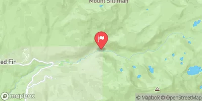
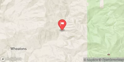
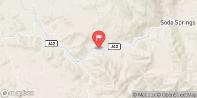
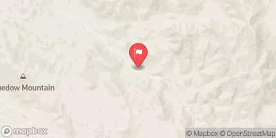
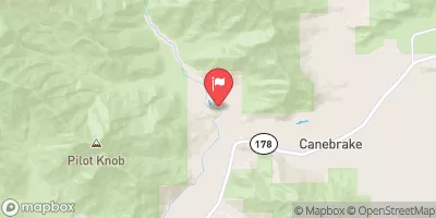
 Tributary Headwaters To Wilderness Boundary
 Wilderness Boundary To Nf Boundary
 George Creek
 Headwaters To Forest Road 16S02
 Forest Road 16So2 To La Dept. Of Water And Power Property
 Ladwp Property To Wilderness Boundary
 Lone Pine Lake
 Lower Boy Scout Lake
 Mirror Lake
 Peanut Lake
 Camp Lake