Wilderness Ansel Adams
Community Reviews
Been here? Share the conditions.
Reviews, ratings & photos are added in the free Snoflo iOS app — rate a spot, tag the conditions, and your visit is verified by location. Add or manage your reviews from the app.

Wilderness Ansel Adams
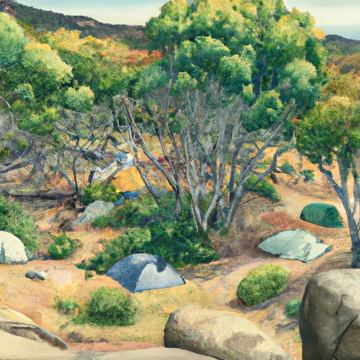
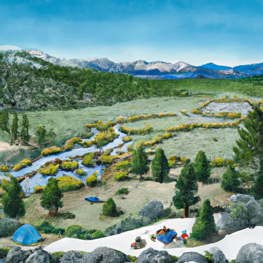
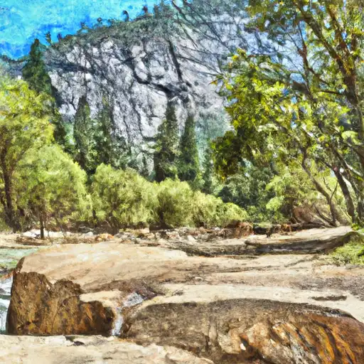
One of the main reasons to visit Wilderness Ansel Adams is the opportunity to immerse oneself in its untouched natural beauty. The area boasts majestic mountain peaks, pristine alpine lakes, and lush forests, providing endless opportunities for outdoor activities such as hiking, camping, fishing, and wildlife observation. The wilderness area is also home to some of the most iconic and photogenic landscapes in California, allowing visitors to capture their own stunning images reminiscent of Ansel Adams' work.
There are several specific points of interest within Wilderness Ansel Adams that are worth exploring. One of the most famous is the Ansel Adams Wilderness, which spans over 230,000 acres and offers numerous hiking trails, including the renowned John Muir Trail. The region is also home to the dramatic Ritter Range, comprising several towering peaks, such as Mount Ritter and Banner Peak. Moreover, the gem-like Thousand Island Lake, nestled amidst the mountains, is a popular destination for backpackers and photographers seeking unique vistas.
Interesting facts about the area include its designation as a wilderness in 1964, ensuring its preservation and protection. The region is named after Ansel Adams, who was not only a legendary landscape photographer but also an environmentalist and key figure in promoting the conservation of wild areas. Ansel Adams himself spent considerable time in the Sierra Nevada, capturing the beauty of the wilderness through his lens.
The best time of year to visit Wilderness Ansel Adams depends on one's preferences and desired activities. During the summer months (June to September), the weather is generally warm and pleasant, making it ideal for hiking and camping. The snow-covered winter months (December to March) offer a different kind of beauty, attracting winter sports enthusiasts for activities like skiing and snowshoeing. However, it's important to note that the weather can be unpredictable, and visitors should be prepared for sudden changes and potential snowfall even during the summer months.
To ensure accuracy, it is recommended to verify the information provided across multiple independent sources such as official park websites, travel guides, and reputable outdoor activity websites.
Streamflow in Wilderness Ansel Adams
Live USGS discharge at streamgauges inside the park boundary.
Snowpack in Wilderness Ansel Adams
Current snow depth at SNOTEL stations inside the park boundary.
Trails in Wilderness Ansel Adams
Named trails whose route falls inside the park.
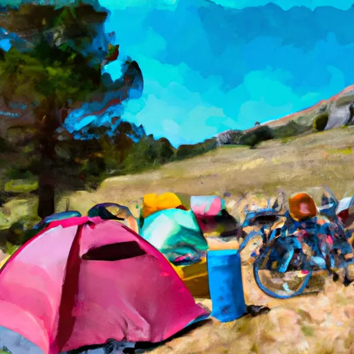
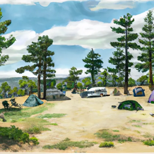
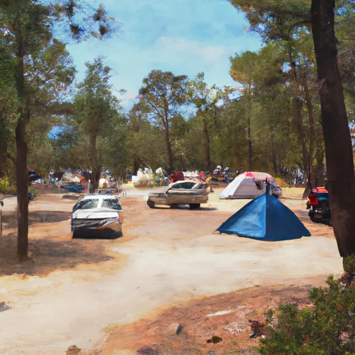
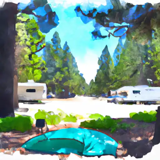
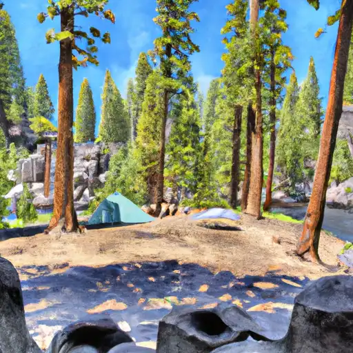
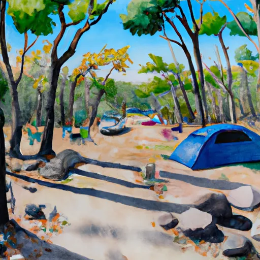
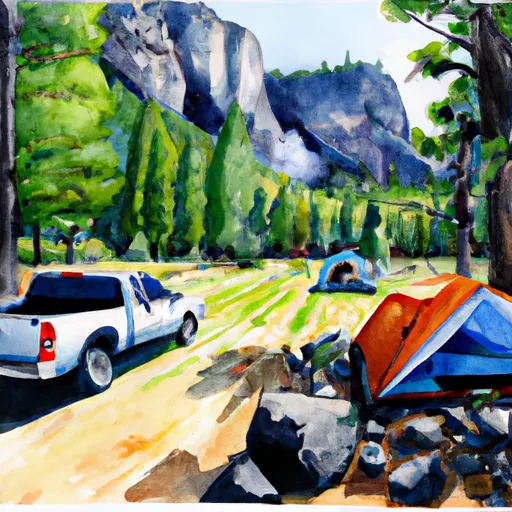
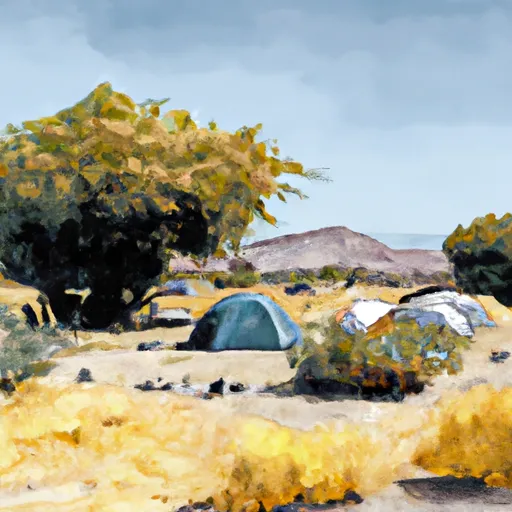
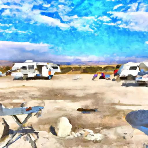
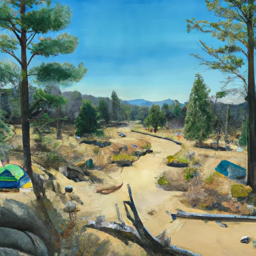
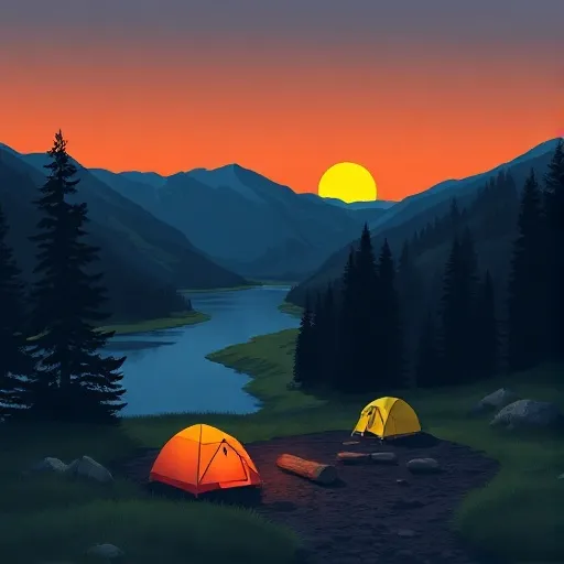
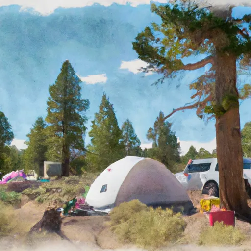
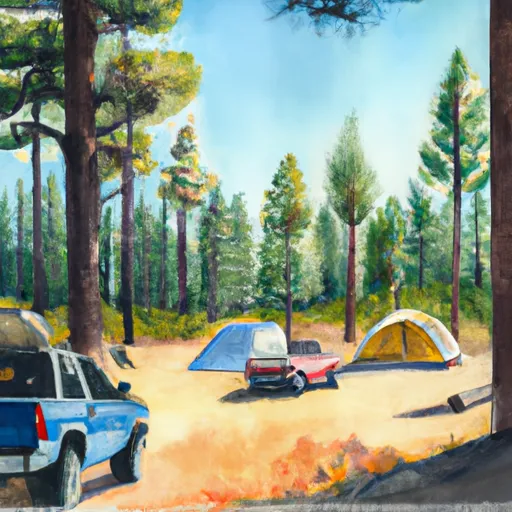
Camping in Wilderness Ansel Adams
Campgrounds inside the park, with today's conditions score.


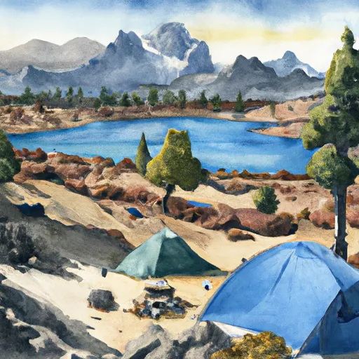


Points of interest in Wilderness Ansel Adams
Landmarks and points of interest inside the park boundary.


Plan your visit down to the hour
Same weather feed Snoflo's iOS app uses -- updated continuously from NOAA / yr.no.
Next 5 days, hour by hour
Temperature line with weather symbols on top, snow + rain accumulation as columns, humidity as a dotted line.
5-day forecast table
Every 3 hours, broken out across temperature, snow, rain, humidity, and wind.
| Time | Condition | Temp (°F) | Snow (in) | Rain (in) | Humidity (%) | Wind (mps) | Wind dir |
|---|---|---|---|---|---|---|---|
| Loading detailed forecast… | |||||||
15-day temperature & precipitation
Daily temperatures, snow, and rain projected over the next two weeks.
Responsible recreation & Leave No Trace
- Know before you go
- Check the operator's site for hours, permit requirements, seasonal closures, and fire restrictions before heading out.
- Stay on trail
- Stick to marked paths to protect vegetation, prevent erosion, and avoid disturbing wildlife habitat.
- Respect wildlife
- Observe from a distance, never feed wildlife, and store food securely if camping is permitted on-site.
- Pack it in, pack it out
- Carry out all trash, food scraps, and gear. Many parks have limited or no trash service.
- Leave what you find
- Don't take rocks, plants, or artifacts. They make the park what it is for the next visitor.
Set push alerts in the Snoflo app
Save Wilderness Ansel Adams as a favorite, set a custom threshold (precipitation, freezing temperatures, fire-restriction days), and the iOS app will push the moment conditions cross.
About Wilderness Ansel Adams
What can I do at Wilderness Ansel Adams?
Most Snoflo-tracked parks support hiking, picnicking, and wildlife viewing. Check the operator's site for activity-specific rules (camping, fishing, paddling, hunting).
How fresh is the weather data?
The hourly forecast updates throughout the day from NOAA / yr.no. Streamflow comes live from USGS streamgauges.
When is the best time to visit?
Use the 15-day temperature & precipitation outlook on this page to plan -- pick a window with comfortable temperatures and low precipitation.
How do I get to Wilderness Ansel Adams?
Tap Directions in the hero above to open driving directions in Google Maps, or Open in map to center the Snoflo interactive map on the park.
Can I get alerts when conditions change?
Yes -- alerts are managed in the Snoflo iOS app. Favorite this park, set a threshold (temperature, precipitation), and you'll get a push the moment it crosses.
Park & land designation reference
A quick legend for the federal and state land categories Snoflo tracks. Each designation comes with different rules around access, recreation, and resource extraction.
- National Park
- Large protected natural areas managed by the federal government to preserve significant landscapes, ecosystems, and cultural resources; recreation is allowed but conservation is the priority.
- State Park
- Public natural or recreational areas managed by a state government, typically smaller than national parks and focused on regional natural features, recreation, and education.
- Local Park
- Community-level parks managed by cities or counties, emphasizing recreation, playgrounds, sports, and green space close to populated areas.
- Wilderness Area
- The highest level of land protection in the U.S.; designated areas where nature is left essentially untouched, with no roads, structures, or motorized motorized access permitted.
- National Recreation Area
- Areas set aside primarily for outdoor recreation (boating, hiking, fishing, often around reservoirs, rivers, or scenic landscapes); may allow more development.
- National Conservation Area (BLM)
- BLM-managed areas with special ecological, cultural, or scientific value; more protection than typical BLM land but less strict than Wilderness Areas.
- State Forest
- State-managed forests focused on habitat, watershed, recreation, and sustainable timber harvest.
- Bureau of Land Management (BLM) Land
- Vast federal lands managed for mixed use -- recreation, grazing, mining, conservation -- with fewer restrictions than national parks or forests.