Summary
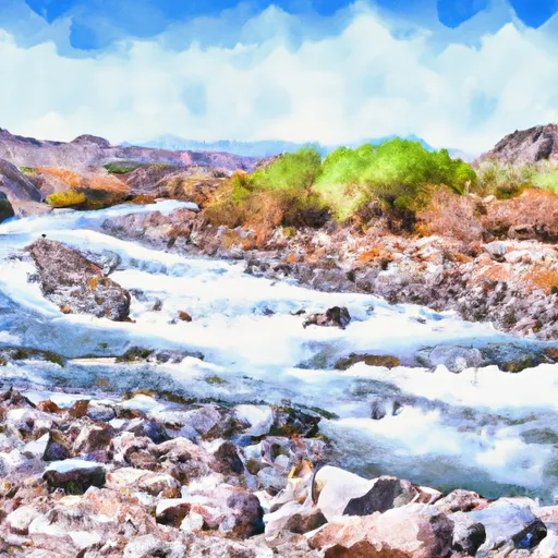
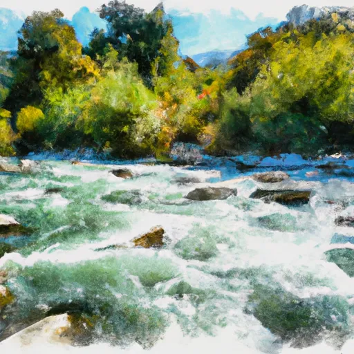
This segment spans approximately 10.8 miles and is rated as a class III-IV rapid with an ideal streamflow range of 300-2000 cfs. The river's rapids are mostly technical and require experienced paddlers to navigate through them safely. Some of the river's rapids include The Chute, The Devil's Kitchen, and the Bouncing Rock.
There are several regulations in place to ensure the safety of all visitors to the area. These regulations include wearing personal floatation devices and helmets at all times while on the river. The use of alcohol and drugs is prohibited, and visitors are urged to respect the environment by leaving no trace of their visit.
It is essential to note that access to the Whitewater River run may be restricted during certain times of the year due to weather conditions, and visitors should check with park authorities before planning their trip. With its diverse rapids and beautiful scenery, the Whitewater River run is a must-visit for experienced paddlers looking for a challenging adventure.
°F
°F
mph
Wind
%
Humidity
15-Day Weather Outlook
River Run Details
| Last Updated | 2026-01-26 |
| River Levels | 287 cfs (3.54 ft) |
| Percent of Normal | 112% |
| Status | |
| Class Level | iii-iv |
| Elevation | ft |
| Streamflow Discharge | cfs |
| Gauge Height | ft |
| Reporting Streamgage | USGS 11355500 |
5-Day Hourly Forecast Detail
Nearby Streamflow Levels
 Hat C Nr Hat Creek Ca
|
134cfs |
 Deer C Nr Vina Ca
|
231cfs |
 Battle C Bl Coleman Fish Hatchery Nr Cottonwood Ca
|
365cfs |
 Mill C Nr Los Molinos Ca
|
245cfs |
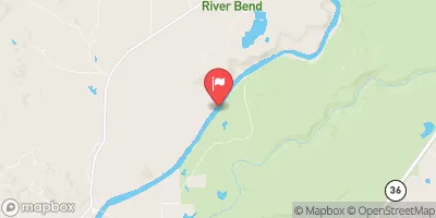 Sacramento R Ab Bend Bridge Nr Red Bluff Ca
|
11900cfs |
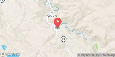 Spanish C Ab Blackhawk C At Keddie Ca
|
158cfs |


 Hole-in-the-Ground Campground
 Hole In The Ground
 Gurnsey Creek Group Campground
 Southwest Walk-in Campground
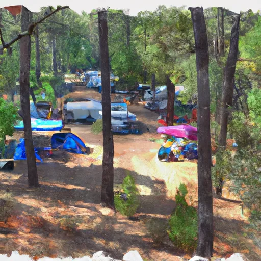 Gurnsey Creek Campground
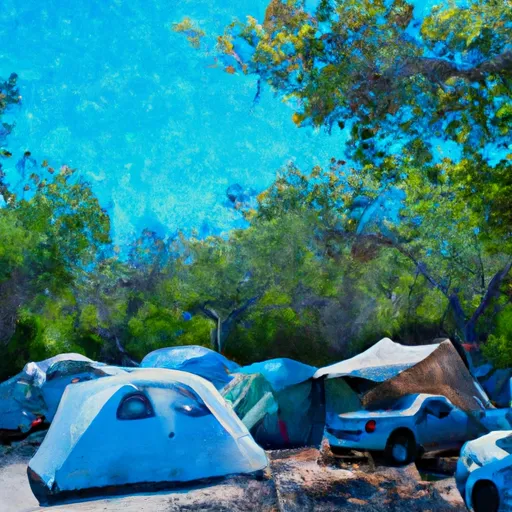 Southwest Campground
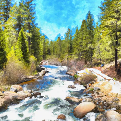 Lassen Np Boundary To Just Below Highway 36 Crossing
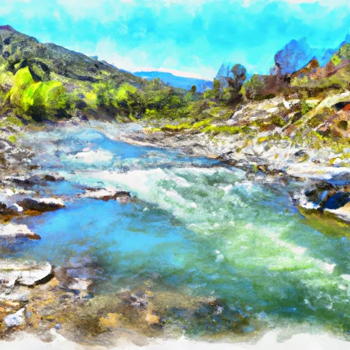 Just Below Highway 36 Crossing To One-Half Mile Downstream From Hole-In-The-Ground
 One-Half Mile Downstream From Hole-In-The-Ground To Sec Line Between 29/20 T28N, R3E, Below Big Bend
 South Fork Battle Creek