Summary
The ideal streamflow range for this section of the river is between 200 and 500 cfs, with the best time to go being from May to June when the water levels are at their peak. This class III-IV section of the river covers a distance of approximately 9 miles and is known for its challenging rapids, including the Meatgrinder, Triple Threat, and S-turn.
In terms of regulations, all boaters must have a valid California Boater Card and wear a personal flotation device at all times while on the river. Additionally, camping is only allowed in designated areas and all trash must be packed out. The area is also subject to fire restrictions during certain times of the year.
°F
°F
mph
Wind
%
Humidity
15-Day Weather Outlook
River Run Details
| Last Updated | 2026-02-07 |
| River Levels | 1290 cfs (7.11 ft) |
| Percent of Normal | 243% |
| Status | |
| Class Level | iii-iv |
| Elevation | ft |
| Streamflow Discharge | cfs |
| Gauge Height | ft |
| Reporting Streamgage | USGS 11189500 |


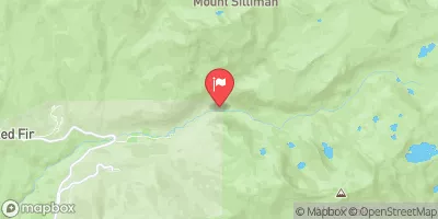
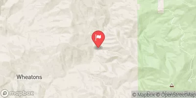
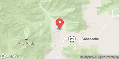
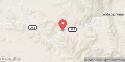
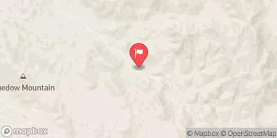
 Diaz Creek
 Cottonwood Pass Walk in Campground
 Cottonwood Lakes Walk in Campground
 Golden Trout Camp
 Chicken Spring Lake Camp Area 11,240ft.
 Diaz Lake
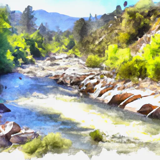 Wilderness Boundary To Intake
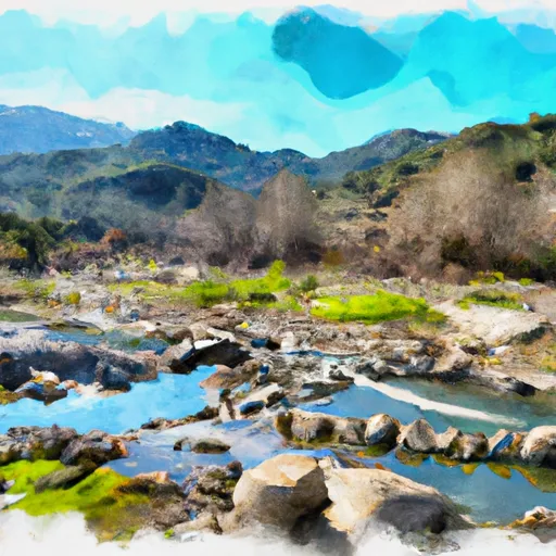 Ladwp Property To Wilderness Boundary
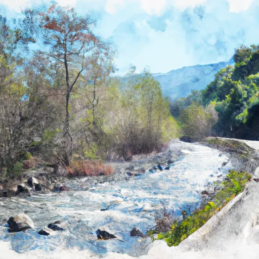 Forest Road 16So2 To La Dept. Of Water And Power Property
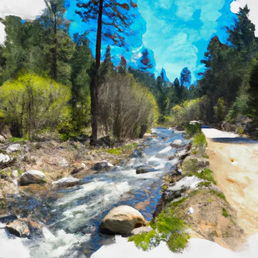 Headwaters To Forest Road 16S02
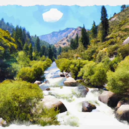 Wilderness Boundary To Nf Boundary
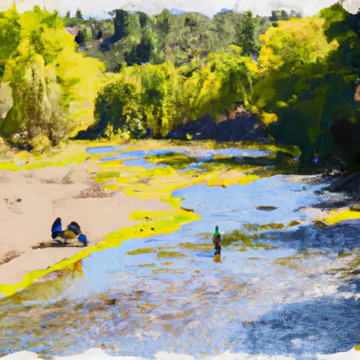 South Fork Cottonwood Creek
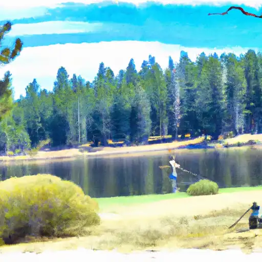 Muir Lake
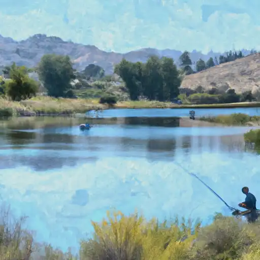 Cottonwood Lakes
 High Lake
 Peanut Lake