Wilderness John Muir
Community Reviews
Been here? Share the conditions.
Reviews, ratings & photos are added in the free Snoflo iOS app — rate a spot, tag the conditions, and your visit is verified by location. Add or manage your reviews from the app.

Wilderness John Muir
1. Reasons to Visit:
- Immersive Wilderness Experience: Wilderness John Muir provides a unique chance to escape the hustle and bustle of everyday life and connect with nature on a deep level. It offers solitude and tranquility, allowing visitors to unwind and rejuvenate.
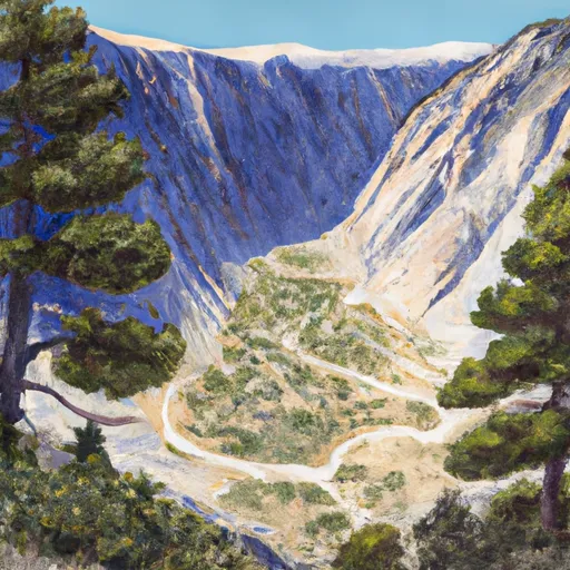
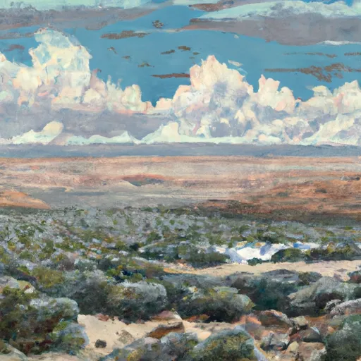
- Exceptional Scenic Beauty: The area is characterized by stunning vistas, majestic mountains, pristine lakes, ancient glaciers, and diverse ecosystems. It is a paradise for nature enthusiasts, hikers, backpackers, and photographers.
- Wildlife and Biodiversity: Wilderness John Muir is home to a wide range of wildlife species, including black bears, mountain lions, bighorn sheep, mule deer, and various bird species. Visitors may witness these animals in their natural habitats.
- Outdoor Activities: The wilderness area offers numerous recreational opportunities, such as hiking, camping, fishing, rock climbing, horseback riding, and wildlife viewing. It caters to both seasoned adventurers and casual outdoor enthusiasts.
2. Points of Interest:
- Yosemite National Park: Part of Wilderness John Muir, Yosemite National Park is a must-visit destination within the area. It features iconic landmarks like Yosemite Valley, Half Dome, El Capitan, and Yosemite Falls, offering unparalleled beauty and grandeur.
- Ansel Adams Wilderness: Located adjacent to Yosemite National Park, this wilderness area is famous for its magnificent alpine landscapes, stunning lakes, and rugged mountain peaks. It provides an opportunity for backcountry exploration and offers breathtaking scenery for photographers.
- Sequoia and Kings Canyon National Parks: These two national parks, located in the southern area of Wilderness John Muir, are known for their giant sequoia trees, including the famous General Sherman Tree, the largest tree on Earth by volume. These parks also offer numerous hiking trails, waterfalls, and stunning vistas.
- John Muir Trail: Stretching over 210 miles, the John Muir Trail is a popular long-distance hiking trail traversing several wilderness areas within the state, including Wilderness John Muir. It offers a chance to experience the region's diverse landscapes and ecosystems.
3. Interesting Facts:
- Wilderness John Muir covers a vast area of approximately 2.4 million acres, making it one of the largest protected wilderness areas in California.
- Named after the influential naturalist and conservationist John Muir, who played a pivotal role in the establishment of Yosemite National Park and the preservation of wilderness areas across the United States.
- The area is home to some of the highest peaks in California, including Mount Whitney, which stands at an impressive 14,505 feet (4,421 meters).
- Wilderness John Muir is characterized by a diverse range of ecosystems, including alpine meadows, towering forests, subalpine lakes, glacial valleys, and rugged granite peaks.
4. Best Time to Visit:
The best time to visit Wilderness John Muir depends on the specific area and activities planned:
- Yosemite National Park: Spring and fall offer pleasant weather, fewer crowds, and blooming wildflowers. Summer is the busiest season, but it provides access to high-elevation trails. Winter offers a tranquil atmosphere and the opportunity for winter sports.
- Ansel Adams Wilderness: July to September is the prime season for backpacking and camping, as the snow has melted and the trails are more accessible.
- Sequoia and Kings Canyon National Parks: Late spring to early fall provides the best weather for exploring these parks, with wildflower blooms in late spring and fall foliage in autumn.
It is important to cross-reference this summary with multiple independent sources for accurate and up-to-date information about Wilderness John Muir in California.
Snowpack in Wilderness John Muir
Current snow depth at SNOTEL stations inside the park boundary.
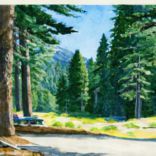
Trails in Wilderness John Muir
Named trails whose route falls inside the park.
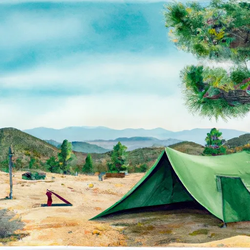
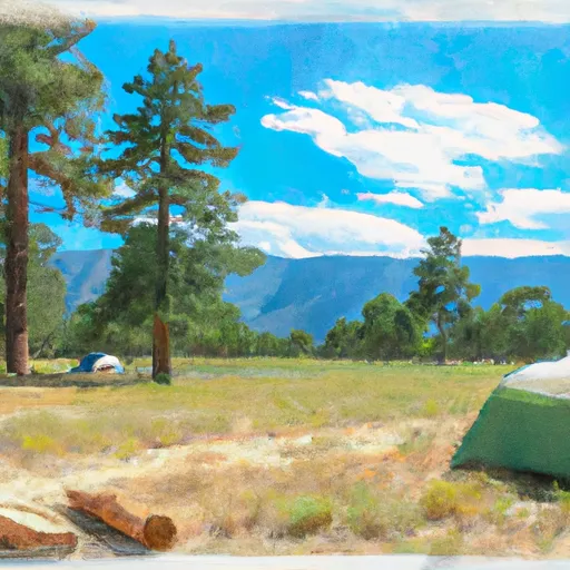
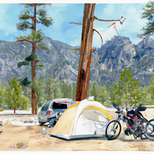
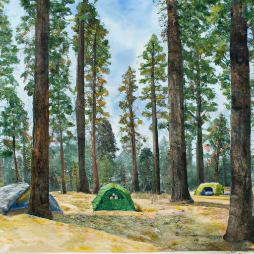
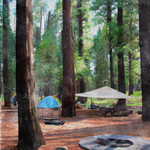
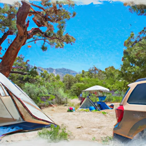
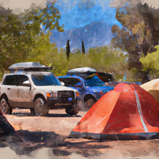
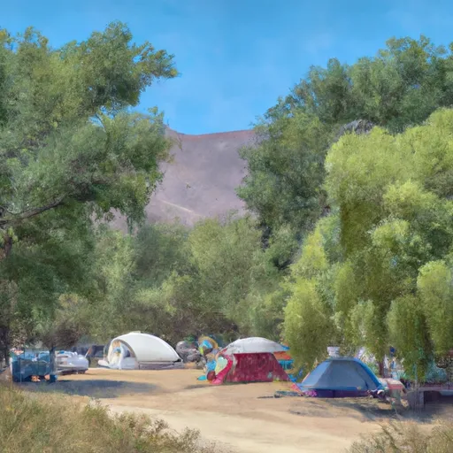
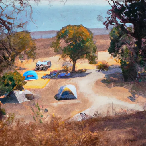
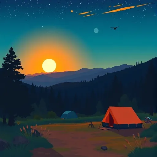
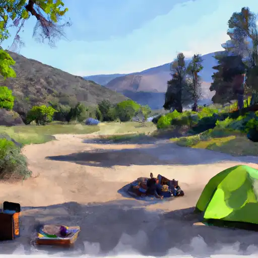
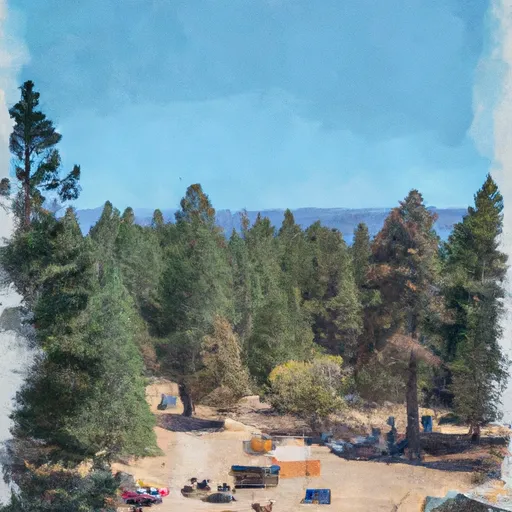
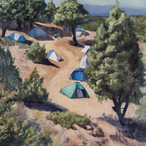
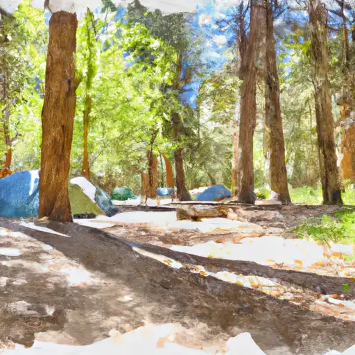
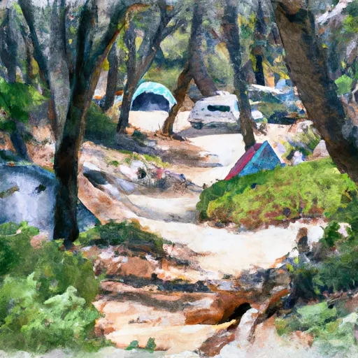
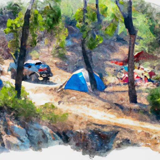
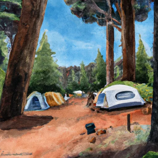
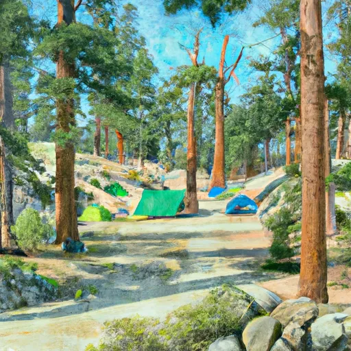
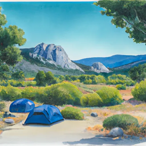
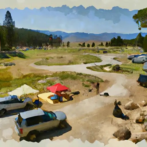
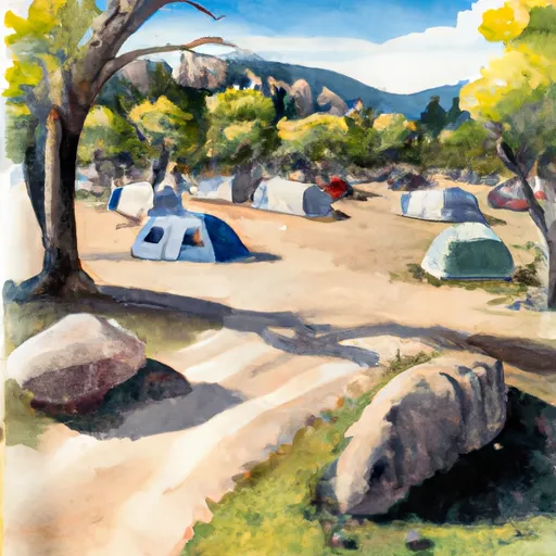
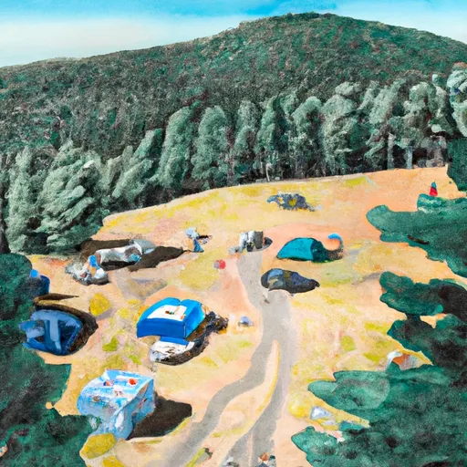
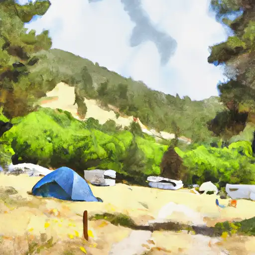
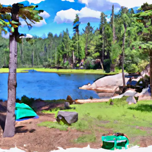
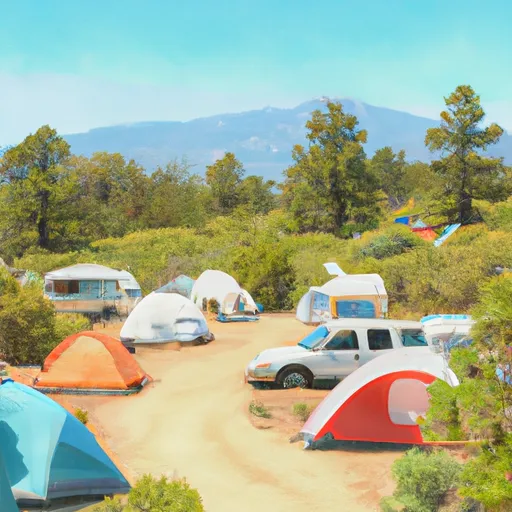
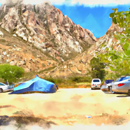
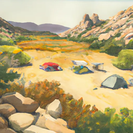
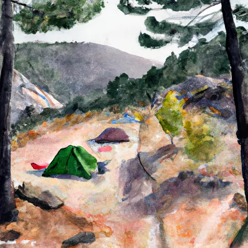
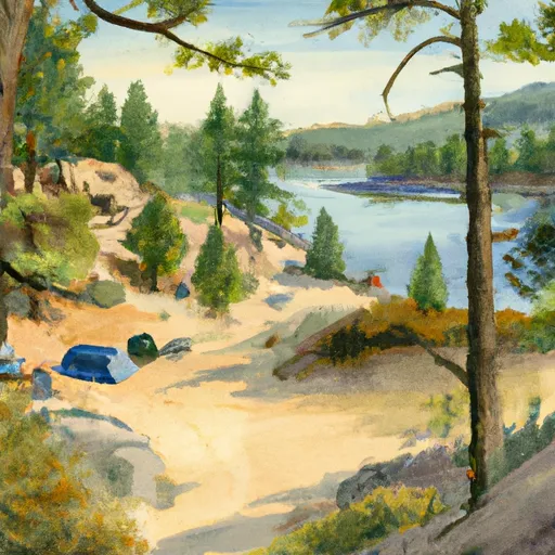
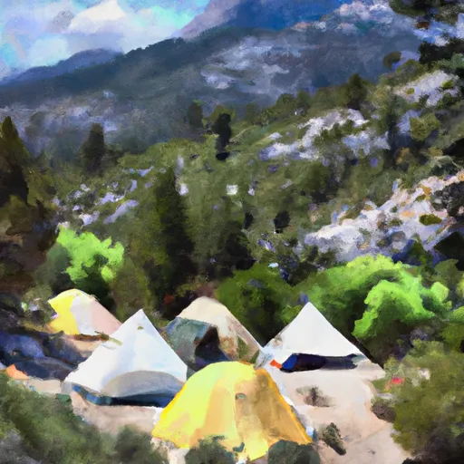
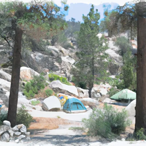
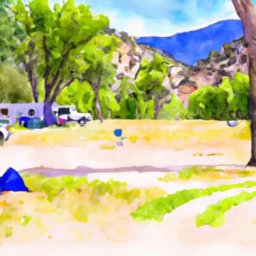
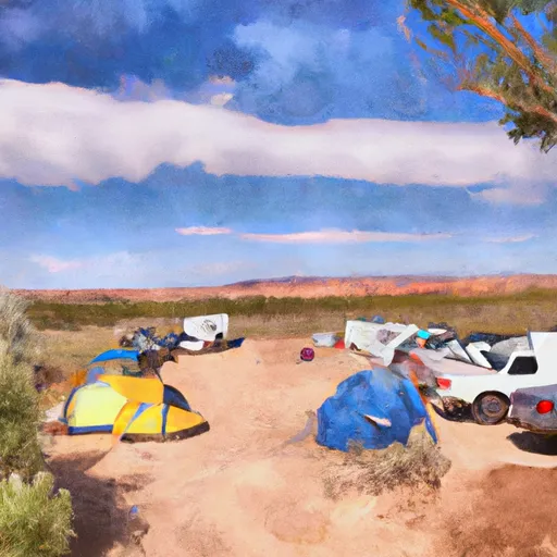
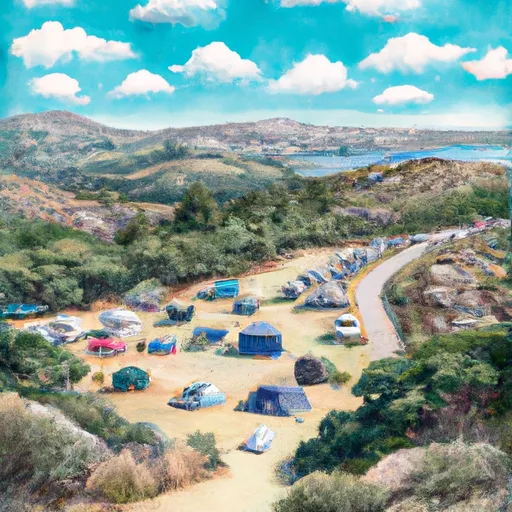
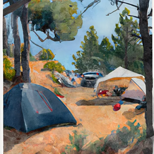
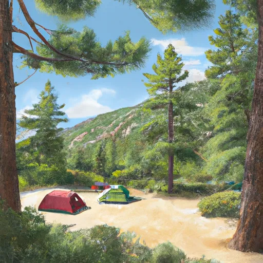
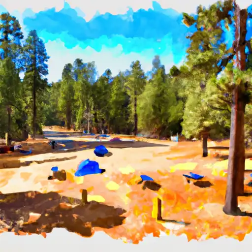
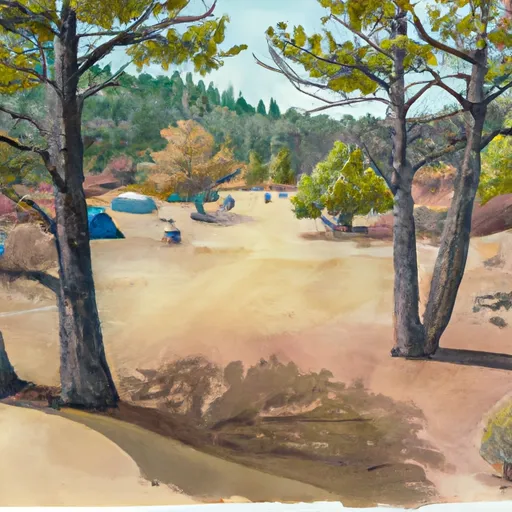
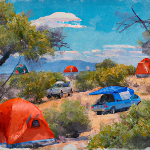
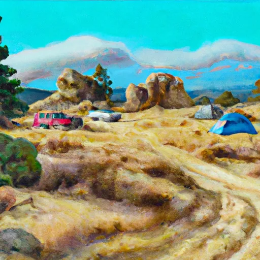
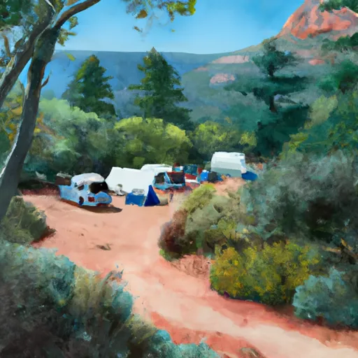
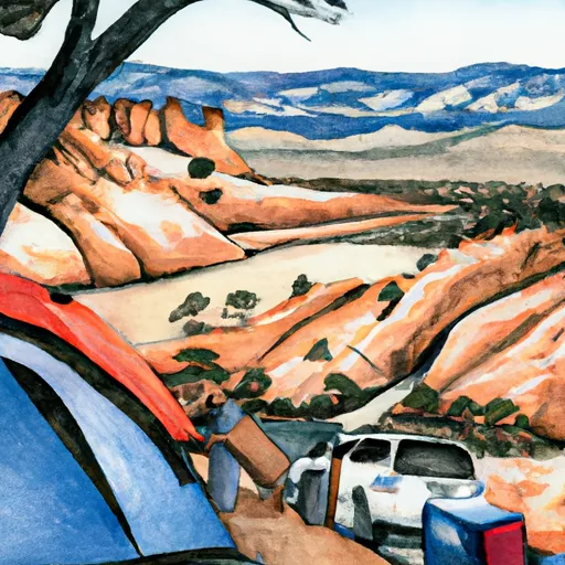
Camping in Wilderness John Muir
Campgrounds inside the park, with today's conditions score.
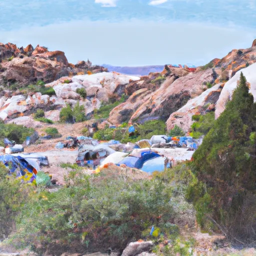
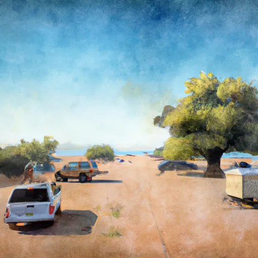


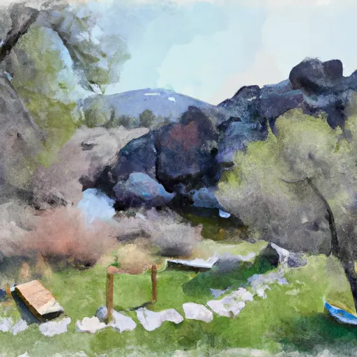

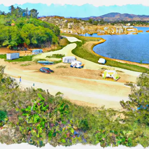

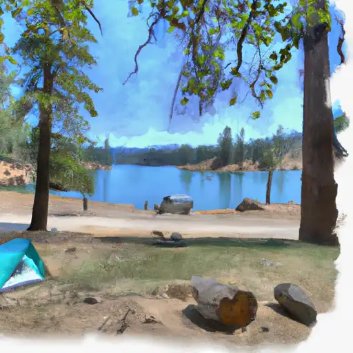

Points of interest in Wilderness John Muir
Landmarks and points of interest inside the park boundary.


Plan your visit down to the hour
Same weather feed Snoflo's iOS app uses -- updated continuously from NOAA / yr.no.
Next 5 days, hour by hour
Temperature line with weather symbols on top, snow + rain accumulation as columns, humidity as a dotted line.
5-day forecast table
Every 3 hours, broken out across temperature, snow, rain, humidity, and wind.
| Time | Condition | Temp (°F) | Snow (in) | Rain (in) | Humidity (%) | Wind (mps) | Wind dir |
|---|---|---|---|---|---|---|---|
| Loading detailed forecast… | |||||||
15-day temperature & precipitation
Daily temperatures, snow, and rain projected over the next two weeks.
Responsible recreation & Leave No Trace
- Know before you go
- Check the operator's site for hours, permit requirements, seasonal closures, and fire restrictions before heading out.
- Stay on trail
- Stick to marked paths to protect vegetation, prevent erosion, and avoid disturbing wildlife habitat.
- Respect wildlife
- Observe from a distance, never feed wildlife, and store food securely if camping is permitted on-site.
- Pack it in, pack it out
- Carry out all trash, food scraps, and gear. Many parks have limited or no trash service.
- Leave what you find
- Don't take rocks, plants, or artifacts. They make the park what it is for the next visitor.
Set push alerts in the Snoflo app
Save Wilderness John Muir as a favorite, set a custom threshold (precipitation, freezing temperatures, fire-restriction days), and the iOS app will push the moment conditions cross.
About Wilderness John Muir
What can I do at Wilderness John Muir?
Most Snoflo-tracked parks support hiking, picnicking, and wildlife viewing. Check the operator's site for activity-specific rules (camping, fishing, paddling, hunting).
How fresh is the weather data?
The hourly forecast updates throughout the day from NOAA / yr.no. Streamflow comes live from USGS streamgauges.
When is the best time to visit?
Use the 15-day temperature & precipitation outlook on this page to plan -- pick a window with comfortable temperatures and low precipitation.
How do I get to Wilderness John Muir?
Tap Directions in the hero above to open driving directions in Google Maps, or Open in map to center the Snoflo interactive map on the park.
Can I get alerts when conditions change?
Yes -- alerts are managed in the Snoflo iOS app. Favorite this park, set a threshold (temperature, precipitation), and you'll get a push the moment it crosses.
Park & land designation reference
A quick legend for the federal and state land categories Snoflo tracks. Each designation comes with different rules around access, recreation, and resource extraction.
- National Park
- Large protected natural areas managed by the federal government to preserve significant landscapes, ecosystems, and cultural resources; recreation is allowed but conservation is the priority.
- State Park
- Public natural or recreational areas managed by a state government, typically smaller than national parks and focused on regional natural features, recreation, and education.
- Local Park
- Community-level parks managed by cities or counties, emphasizing recreation, playgrounds, sports, and green space close to populated areas.
- Wilderness Area
- The highest level of land protection in the U.S.; designated areas where nature is left essentially untouched, with no roads, structures, or motorized motorized access permitted.
- National Recreation Area
- Areas set aside primarily for outdoor recreation (boating, hiking, fishing, often around reservoirs, rivers, or scenic landscapes); may allow more development.
- National Conservation Area (BLM)
- BLM-managed areas with special ecological, cultural, or scientific value; more protection than typical BLM land but less strict than Wilderness Areas.
- State Forest
- State-managed forests focused on habitat, watershed, recreation, and sustainable timber harvest.
- Bureau of Land Management (BLM) Land
- Vast federal lands managed for mixed use -- recreation, grazing, mining, conservation -- with fewer restrictions than national parks or forests.