2026-02-22T10:00:00-08:00
* WHAT...Southeast winds 30 to 40 mph with gusts up to 70 mph expected. Higher gusts over high, exposed terrain. * WHERE...Humboldt Interior, Del Norte Interior, and Southwestern Humboldt. * WHEN...Until 10 AM PST Sunday. * IMPACTS...Wind gusts will be particularly strong along windward ridges and exposed coastal headlands. Damaging winds will blow down trees and power lines. Widespread power outages are expected. Travel will be difficult. * ADDITIONAL DETAILS...A prolonged period of strong winds is expected to continue through Sunday morning. Winds are expected to increase to up to 60 mph today, peaking up to 70 mph tonight into Sunday. Locally up to 80 mph possible.
Summary
7, T4S, R1E, Hm and flows for approximately 30 miles until it joins the North Fork in Sec. 32, T3S, R1E, Hm. The ideal streamflow range for this river is between 150-800 cubic feet per second (cfs) and the river is rated as a class III-IV, making it suitable for intermediate to advanced paddlers. The segment mileage varies depending on the put-in and take-out locations, with popular runs ranging from 4-10 miles.
The river features several notable rapids and obstacles, including the infamous "Dogleg" rapid which features a sharp turn and large boulder. Other notable features include "Pinball" and "Kurt's Corner." Paddlers should be prepared for technical rapids, tight turns, and potentially hazardous strainers.
Specific regulations for the area include a permit requirement for commercial guiding and limitations on group size. The river is also closed to boating during certain times of the year to protect spawning fish populations. Visitors should always check with local authorities for up-to-date information on regulations and closures.
°F
°F
mph
Wind
%
Humidity
15-Day Weather Outlook
River Run Details
| Last Updated | 2026-02-07 |
| River Levels | 47 cfs (8.9 ft) |
| Percent of Normal | 8% |
| Status | |
| Class Level | iii-iv |
| Elevation | ft |
| Run Length | 3.0 Mi |
| Streamflow Discharge | cfs |
| Gauge Height | ft |
| Reporting Streamgage | USGS 11468900 |
5-Day Hourly Forecast Detail
Nearby Streamflow Levels
 Mattole R Nr Ettersburg Ca
|
572cfs |
 Mattole R Nr Petrolia Ca
|
1390cfs |
 Bull C Nr Weott Ca
|
266cfs |
 Sf Eel R Nr Miranda Ca
|
2830cfs |
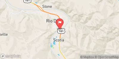 Eel R A Scotia Ca
|
13300cfs |
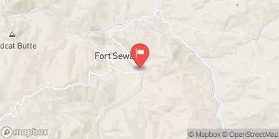 Eel R A Fort Seward Ca
|
6240cfs |
Area Campgrounds
| Location | Reservations | Toilets |
|---|---|---|
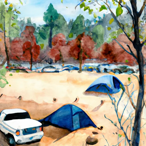 Maple Camp
|
||
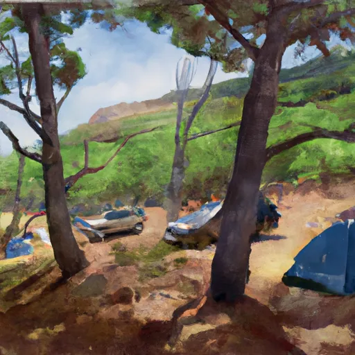 Shipman Creek
|
||
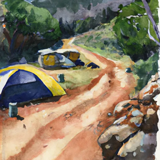 Gitchell Creek
|
||
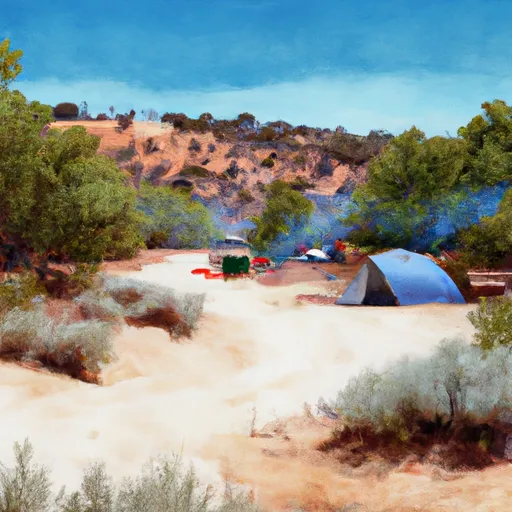 Miller Loop Camp
|
||
 Place for a tent
|
||
 Tolkan
|
River Runs
-
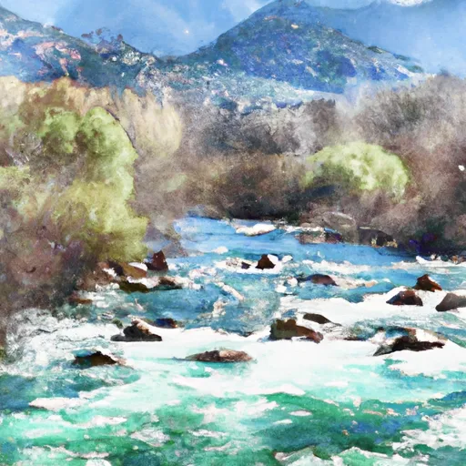 From Its Headwaters In Sec. 7, T4S, R1E, Hm To To Junction With N. Fork In Sec. 32, T3S, R1E, Hm
-
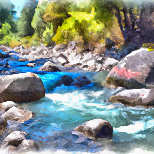 Bear Creek, North Fork, Trib
-
 From Its Headwaters In Sec. 18, T4S, R1E, Hm To To The Pacific Ocean
-
 Northwest 1/4 In Sec. 7, T4S, R1E, Hm To To Its Junction With The Main Stem
-
 Bear Creek, North Fork
-
 From Its Headwaters In Sec. 17, T4S, R1E To To The Pacific Ocean

