Wind Advisory
2026-02-11T13:00:00-08:00
2026-02-11T13:00:00-08:00
* WHAT...South winds 20 to 30 mph with gusts up to 50 mph. * WHERE...Eastern Antelope Valley Foothills, Eastern San Gabriel Mountains, and Western San Gabriel Mountains and Highway 14 Corridor. * WHEN...Until 1 PM PST this afternoon. * IMPACTS...Gusty winds will blow around unsecured objects. Tree limbs could be blown down and a few power outages may result.
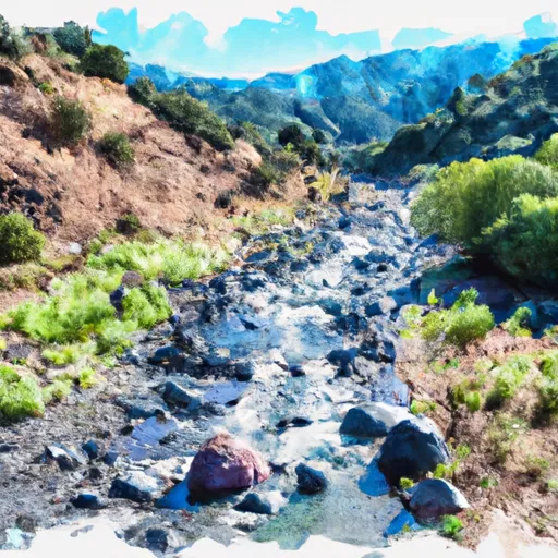
Gaging Station Below Spillway Of Cogswell Dam (Ne 1/4, Se 1/4, Sec 19, T2n, R10w) To Confluence With Nf San Gabriel River (Sw 1/4.Sw 1/4, Sec 15, T2n, R9w) Paddle Report
Last Updated: 2026-02-07
Get the latest Paddle Report, Streamflow Levels, and Weather Forecast for Gaging Station Below Spillway Of Cogswell Dam (Ne 1/4, Se 1/4, Sec 19, T2n, R10w) To Confluence With Nf San Gabriel River (Sw 1/4.Sw 1/4, Sec 15, T2n, R9w) in California. California Streamflow Levels and Weather Forecast
Summary
°F
°F
mph
Wind
%
Humidity
15-Day Weather Outlook
River Run Details
| Last Updated | 2026-02-07 |
| River Levels | 203 cfs (12.53 ft) |
| Percent of Normal | 201% |
| Status | |
| Class Level | None |
| Elevation | ft |
| Streamflow Discharge | cfs |
| Gauge Height | ft |
| Reporting Streamgage | USGS 11085000 |
5-Day Hourly Forecast Detail
Nearby Streamflow Levels
Area Campgrounds
| Location | Reservations | Toilets |
|---|---|---|
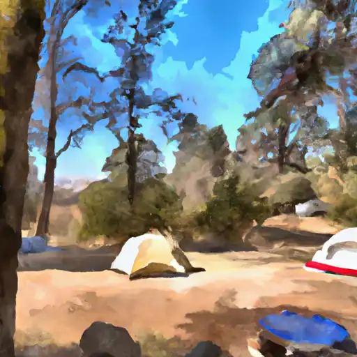 Glenn Camp
|
||
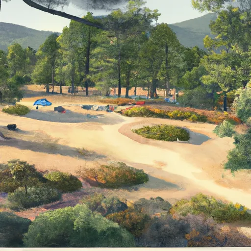 Glenn Camp Campground (Hike or bike in 7 miles)
|
||
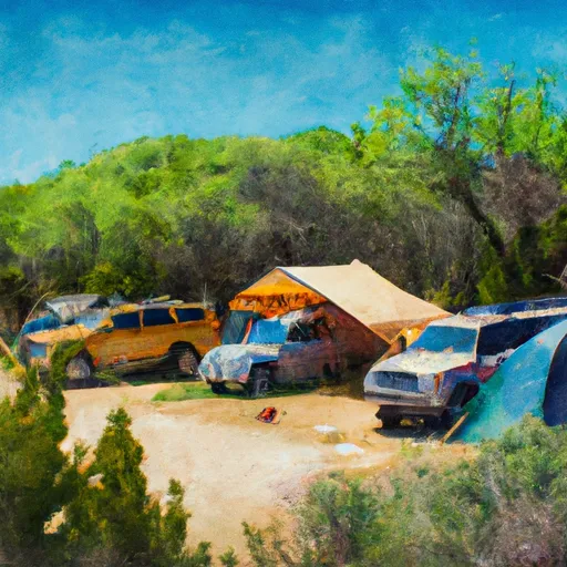 Spring Camp Campground
|
||
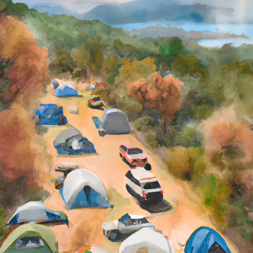 Spring Camp
|
||
 Devore
|
||
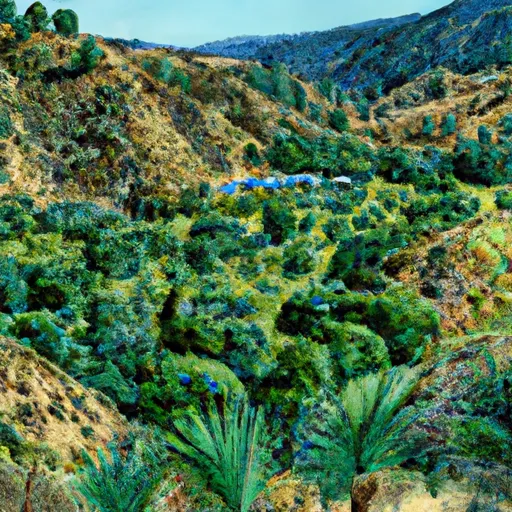 Lower Bear Cyn
|
River Runs
-
 Gaging Station Below Spillway Of Cogswell Dam (Ne 1/4, Se 1/4, Sec 19, T2N, R10W) To Confluence With Nf San Gabriel River (Sw 1/4.Sw 1/4, Sec 15, T2N, R9W)
-
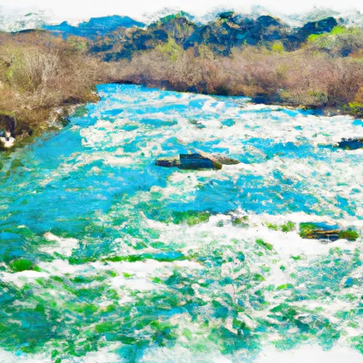 Cooper Canyon- Near State Highway 2 (Sw 1/4, Ne 1/4, Sec 16, T3N, R10W To Confluence With Little Rock Creek
-
 North Fork - Confluence Of Soldier And Coldbrook Creeks (Se1/4,Sw1/4, Sec) 5, T2N,,R9W To Conflluence With West Fork Of San Gabriel (Sw 1/4,Sw1/4, Sec 17, T2N, R8W)
-
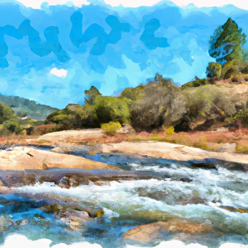 West Fork - Headwaters (Se 1/4, Ne 1/4, Sec 14, T2N, R12W) To Cogswell Reservoir (Ne 1/4, Sw 1/4, Sec 24, T2N, R9W
-
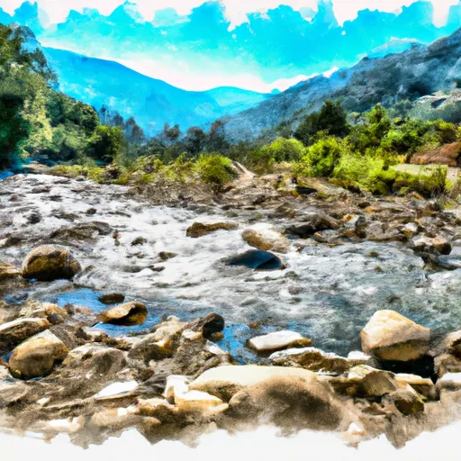 Mainstream - Confluence With Cooper Canyon To Confluence Wit South Fork Little Rock Creek
-
 Mainstream - Headwaters To Confluence With Cooper Canyon




 Monrovia Canyon Park
 Grand Avenue Park
 Highland Oaks Park
 Monrovia Library Park
 Mount Wilson Trail Park